



El Niño Coastal Hazards (2026-2027)
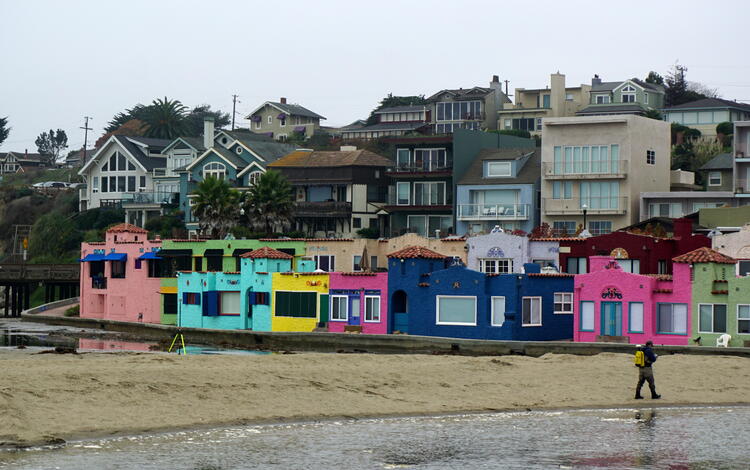
Storm-driven flooding in Capitola, California March 2014
The 2026-2027 El Niño is projected to be the largest and most intense on record. Pacific storms during previous El Niño events have caused widespread coastal hazards along the California coast from flooding and erosion. The USGS is uniquely positioned to assist with coastal monitoring, data collection, science and communications with partners about these pending hazards.
The objectives of this project are to:
- Work with federal, state and regional partners to develop a collaborative science and monitoring plan to characterize the impacts of the 2026-2027 El Niño.
- Characterize the extent, patterns and trends of coastal change hazards associated with the 2026-2027 El Niño along the California coast through scientific monitoring.
- Provide relevant and actionable information about El Niño hazard patterns and trends to federal, state and regional partners that manage coastal lands and resources.
- Provide timely and relevant scientific results on the coastal hazard impacts of the 2026-2027 El Niño.
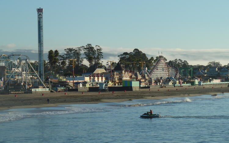
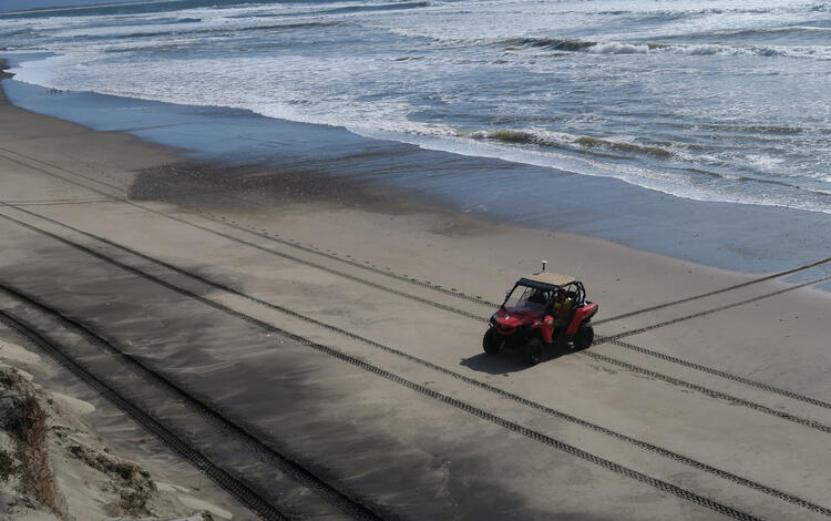
The USGS Pacific Coastal and Marine Science Center has developed several monitoring techniques and data sets to track 2026-2027 El Niño impacts. These techniques include satellite remote sensing, aerial imaging and photogrammetry, ocean measurements of waves and currents, and beach topographic and bathymetric mapping. Coordinated scientific monitoring by the USGS of the 2026-2027 El Niño will be conducted along the broader California coast and also include site-specific studies in San Francisco, Santa Cruz and Ventura. These assessments are designed provide rapid characterizations of impacts to coastal managers across federal, state and regional governments responding to these events. Scientific understanding developed from this work will assist with planning and management for future coastal hazards.


Remote Sensing Coastal Change

Landscape Response to Disturbance
The 2026-2027 El Niño is projected to be the largest and most intense on record. Pacific storms during previous El Niño events have caused widespread coastal hazards along the California coast from flooding and erosion. The USGS is uniquely positioned to assist with coastal monitoring, data collection, science and communications with partners about these pending hazards.
The objectives of this project are to:
- Work with federal, state and regional partners to develop a collaborative science and monitoring plan to characterize the impacts of the 2026-2027 El Niño.
- Characterize the extent, patterns and trends of coastal change hazards associated with the 2026-2027 El Niño along the California coast through scientific monitoring.
- Provide relevant and actionable information about El Niño hazard patterns and trends to federal, state and regional partners that manage coastal lands and resources.
- Provide timely and relevant scientific results on the coastal hazard impacts of the 2026-2027 El Niño.
The USGS Pacific Coastal and Marine Science Center has developed several monitoring techniques and data sets to track 2026-2027 El Niño impacts. These techniques include satellite remote sensing, aerial imaging and photogrammetry, ocean measurements of waves and currents, and beach topographic and bathymetric mapping. Coordinated scientific monitoring by the USGS of the 2026-2027 El Niño will be conducted along the broader California coast and also include site-specific studies in San Francisco, Santa Cruz and Ventura. These assessments are designed provide rapid characterizations of impacts to coastal managers across federal, state and regional governments responding to these events. Scientific understanding developed from this work will assist with planning and management for future coastal hazards.
Remote Sensing Coastal Change