
Powder River: Data for Cross-Channel Profiles at 22 Sites in Southeastern Montana, 1975 through 2019
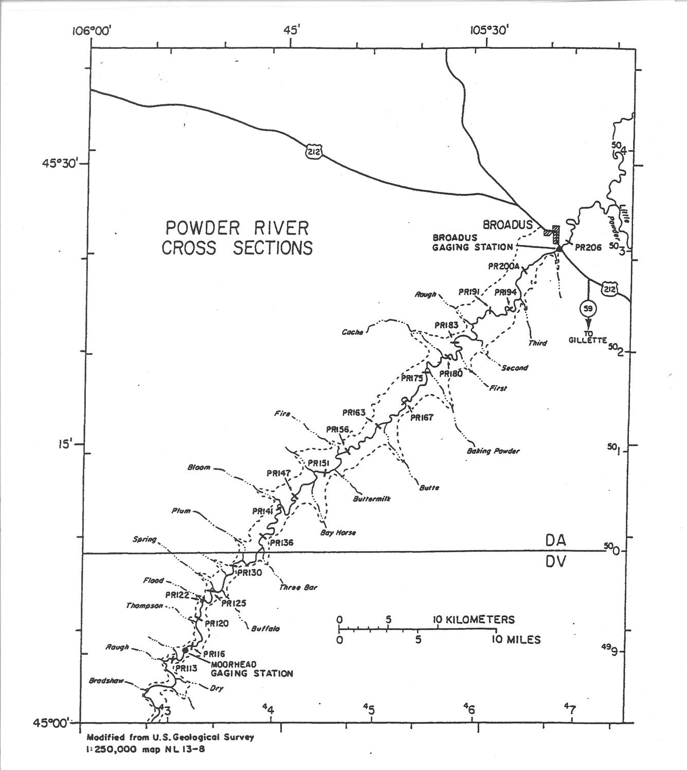
Powder River rises in the Bighorn Mountains of Wyoming and flows northward through a semi-arid landscape in Wyoming and Montana to the Yellowstone River. The river drains an area of 34,700 square kilometers and has an average discharge of about 500 million cubic meters per year. Cross-channel profile data were collected at 22 sites on the river and its tributaries from 1975 through 2014.
Introduction

Powder River rises in the Bighorn Mountains of Wyoming and flows northward through a semi-arid landscape in Wyoming and Montana to the Yellowstone River. The river drains an area of 34,700 square kilometers and has an average discharge of about 500 million cubic meters per year (or 16 cubic meters per second).
The river in the adjacent photo is at about bed-full flow (12 m3 s-1, Moody and others, 1999), and several riffles with disturbed water can be seen downstream between smooth glassy reaches of the river. A narrow band (~2-4 m wide) of reddish sedge (Scirpus spp.) grows just above the bed-full level along the edge of water with a wider band of mixed grasses (Agropyron repens, A. pauciflorum, Bromus inermis, Elymus canadenis, Spartina pectinata, and S. cynosoroids), willow (Salix exigua), tamarisk (Tamirix ramosissima) and small cottonwood seedlings and trees (Populus sargentii) on the flood plain. Three terrace levels have been identified along the river (Leopold and Miller, 1954; Moody and Meade, 2008). The first is the Lightning Terrace with small cottonwood trees (seen here without leaves) adjacent to the floodplain in the right-center of the photo. The second is the Moorcroft Terrace seen best forming the left bank and extending as a flat surface to the left (west) with a few large cottonwood trees still retaining their green leaves. The third is the colluvial Kaycee Terrace that grades slowly upwards and meets the hills of the Fort Union Formation. It can be seen on the right side at the base of the hills and in the far distance on the left side, west of the white ranch buildings.
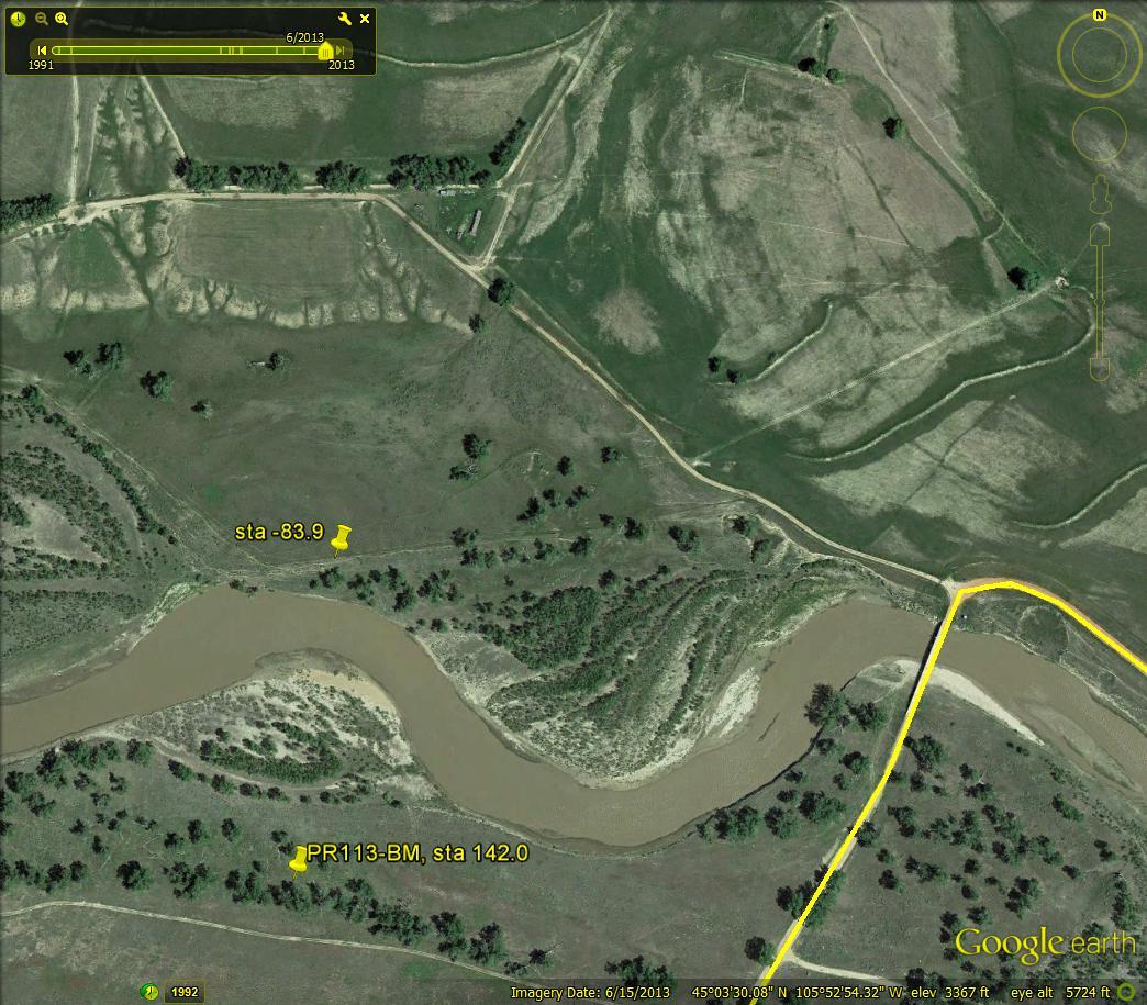
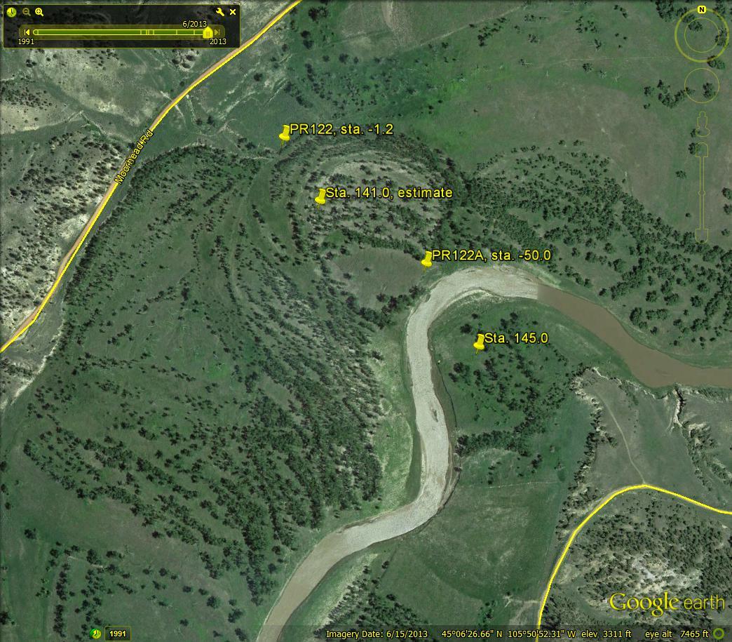
Powder River has no dams or other large-scale human modifications, which, combined with its substantial suspended-sediment load (2-3 million metric tons per year), makes it an optimal outdoor laboratory for studying natural fluvial processes (Moody and Meade, 1990; Hubert, 1993; Moody and others 2002). A research program was started in 1975 and, by 1977, 20 channel cross sections had been established in the 93-km reach, with the uppermost (PR113) just upstream from the Moorhead gage and the lowermost (PR206, see map) just downstream from the Broadus gage. Cross section PR120 crosses the river in the above photo at a point near where the shadows from the large cottonwood trees on the left bank meet the river downstream from the apex of the nearer bend (Moody and others 1999; Pizzuto and others, 2008). An extreme flood in 1978 (779 m3 s-1) (Moody and Meade, 2008; Meade and Moody, 2013) was a major disturbance that widened the channel, caused two meander cutoffs (not visible in this photo), and deposited fresh sediment on the Lightning and Moorcroft terraces. Two additional cross sections (PR 122A and PR141A) were established on the cutoffs in 1979, and the post-flood response has been monitored at most channel cross sections through 2012. Elevation datum is NGVD29, and all cross-sectional data (1975-1998) also are available in the Results tab of this page.
Current Discharge Data
Citation For This Dataset
Moody, J.A., and Meade, R.H., 2014, Powder River: Data for cross-channel profiles at 22 sites in southeastern Montana from 1975 through 2014, Washington: U.S. Geological Survey Data Set, doi:10.5066/F70Z719C.
General Data
- Daily Discharge Data for Moorhead, MT, 1975-2014 (Excel format)
- Powder River Cross Section Data Availability Timeline (Excel format)
Cross Section Information
Download cross-section data from our data release page for the cross sections discussed below (link opens in a new tab).
Cross Section PR113
Download narrative and photos for cross section PR113

Cross Section PR116
Download narrative and photos for cross section PR116


Cross Section PR120
Download narrative and photos for cross section PR120


Cross Section PR122
Download narrative and photos for cross section PR122

Cross Section PR122A
Download narrative and photos for cross section PR122A

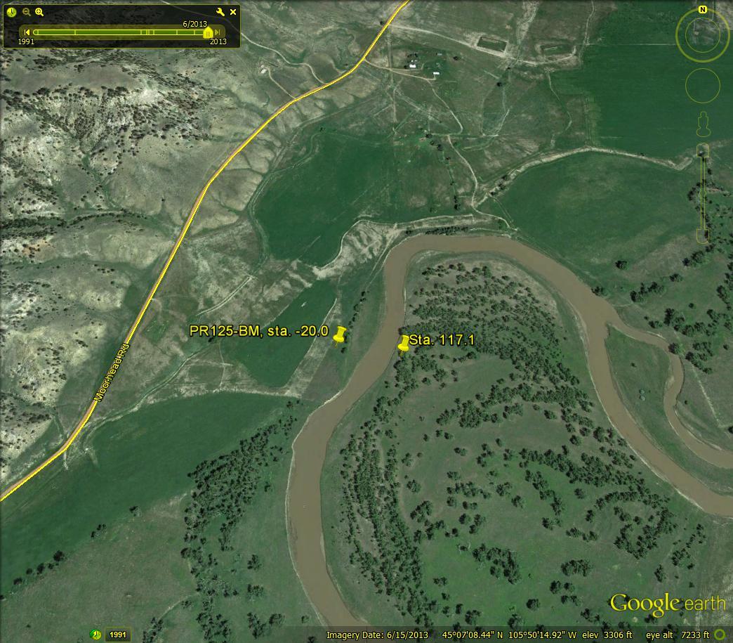
Cross Section PR125
Download narrative and photos for cross section PR125

Cross Section PR130
Download narrative and photos for cross section PR130


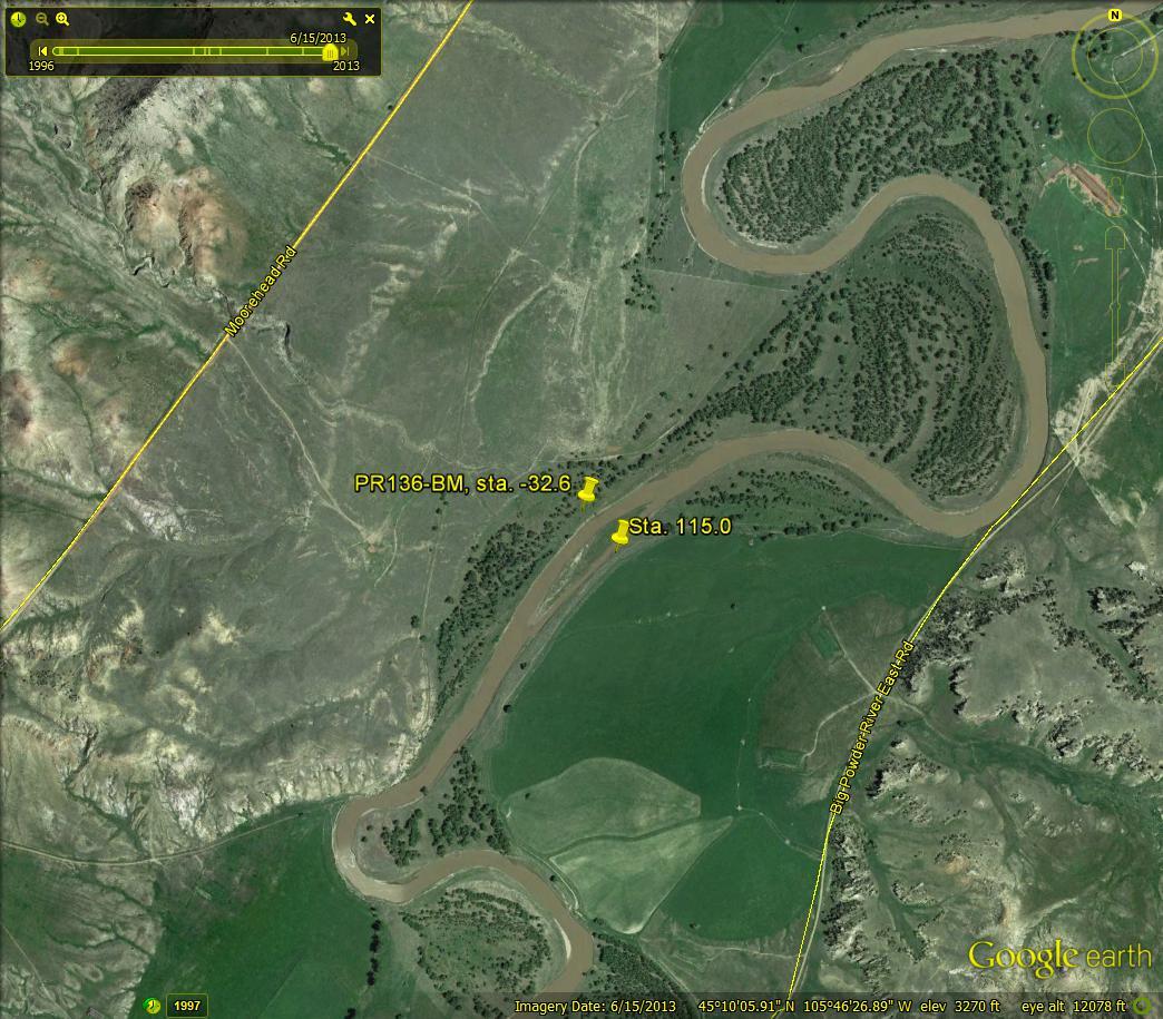
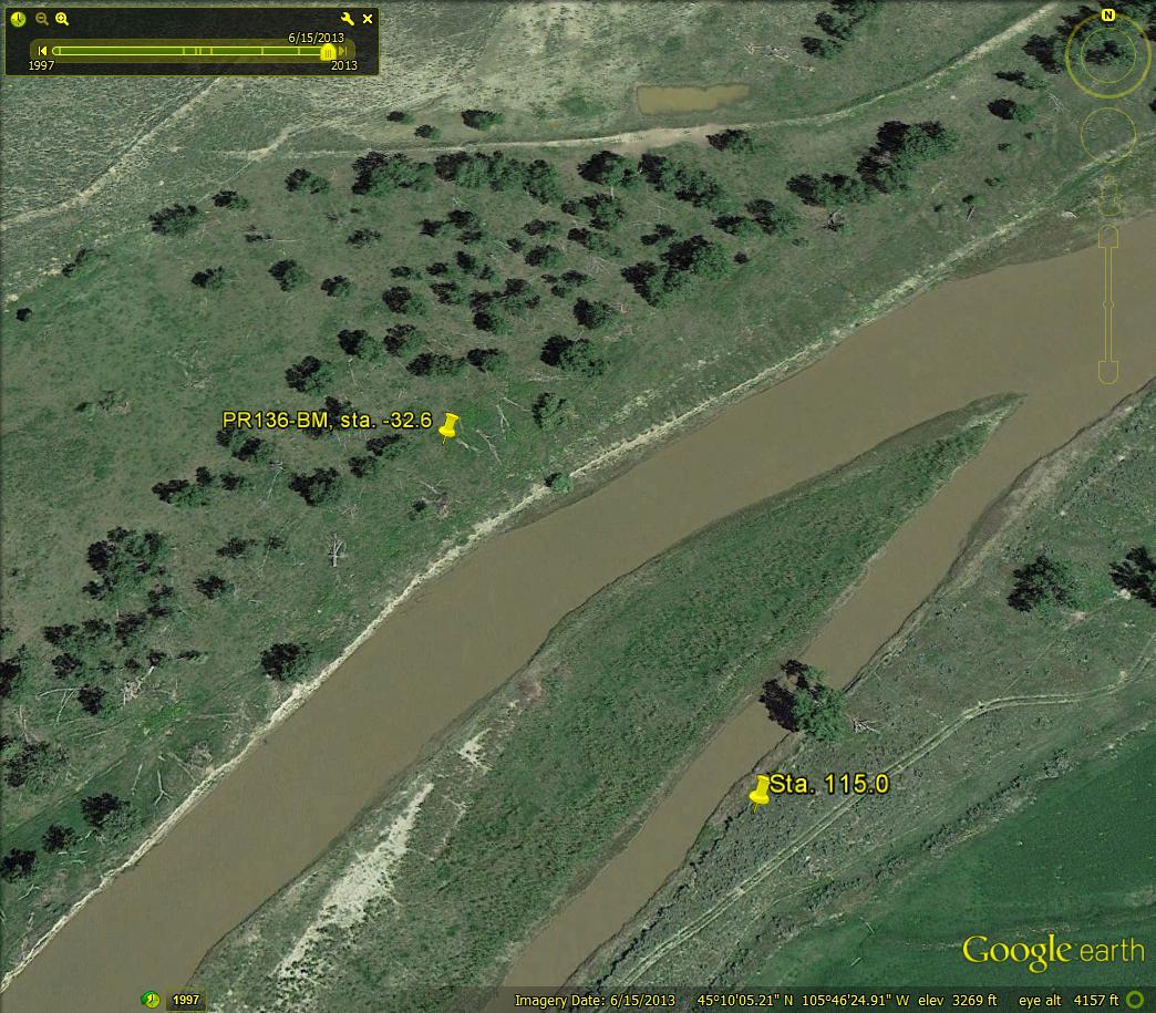
Cross Section PR136
Download narrative and photos for cross section PR136
Cross Section PR141
Download narrative and photos for cross section PR141

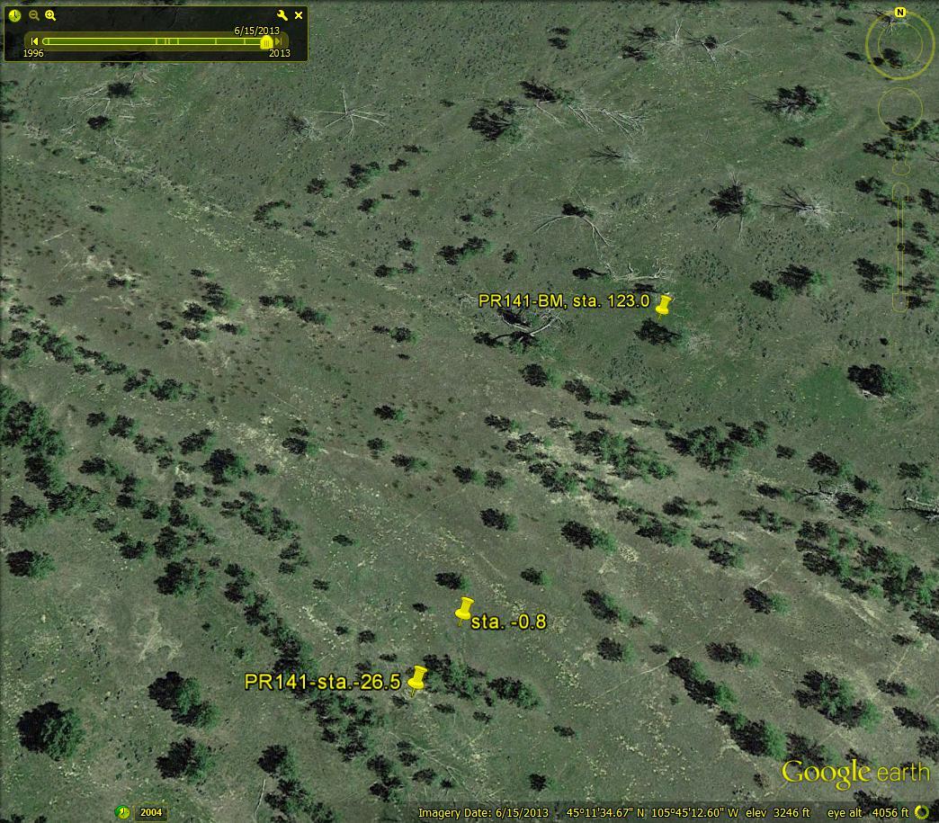
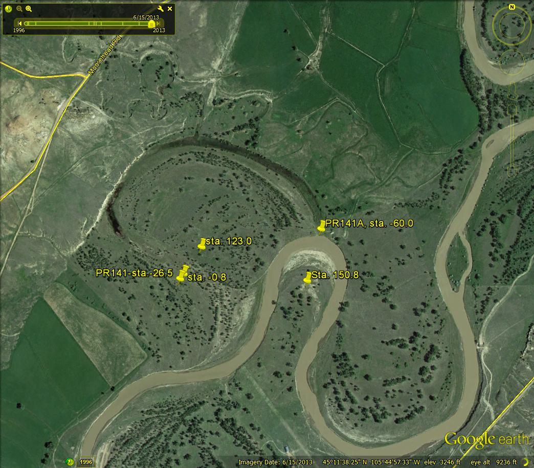
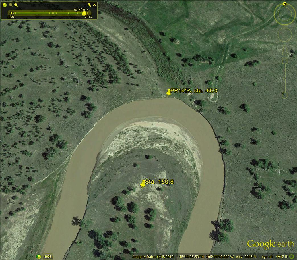
Cross Section PR141A
Download narrative and photos for cross section PR141A
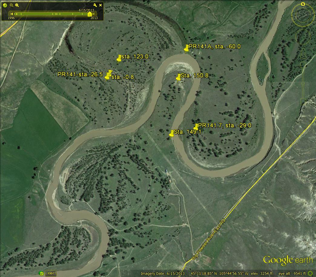
Cross Section PR141P7
Download narrative and photos for cross section PR141P7

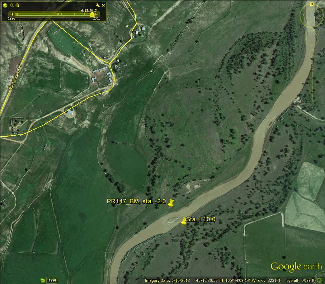
Cross Section PR147
Download narrative and photos for cross section PR147

Cross Section PR151
Download narrative and photos for cross section PR151


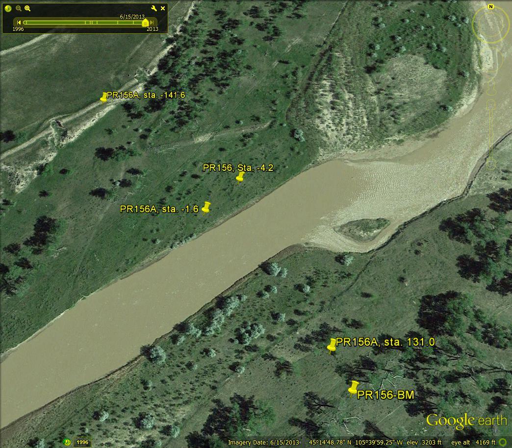
Cross Section PR156
Download narrative and photos for cross section PR156
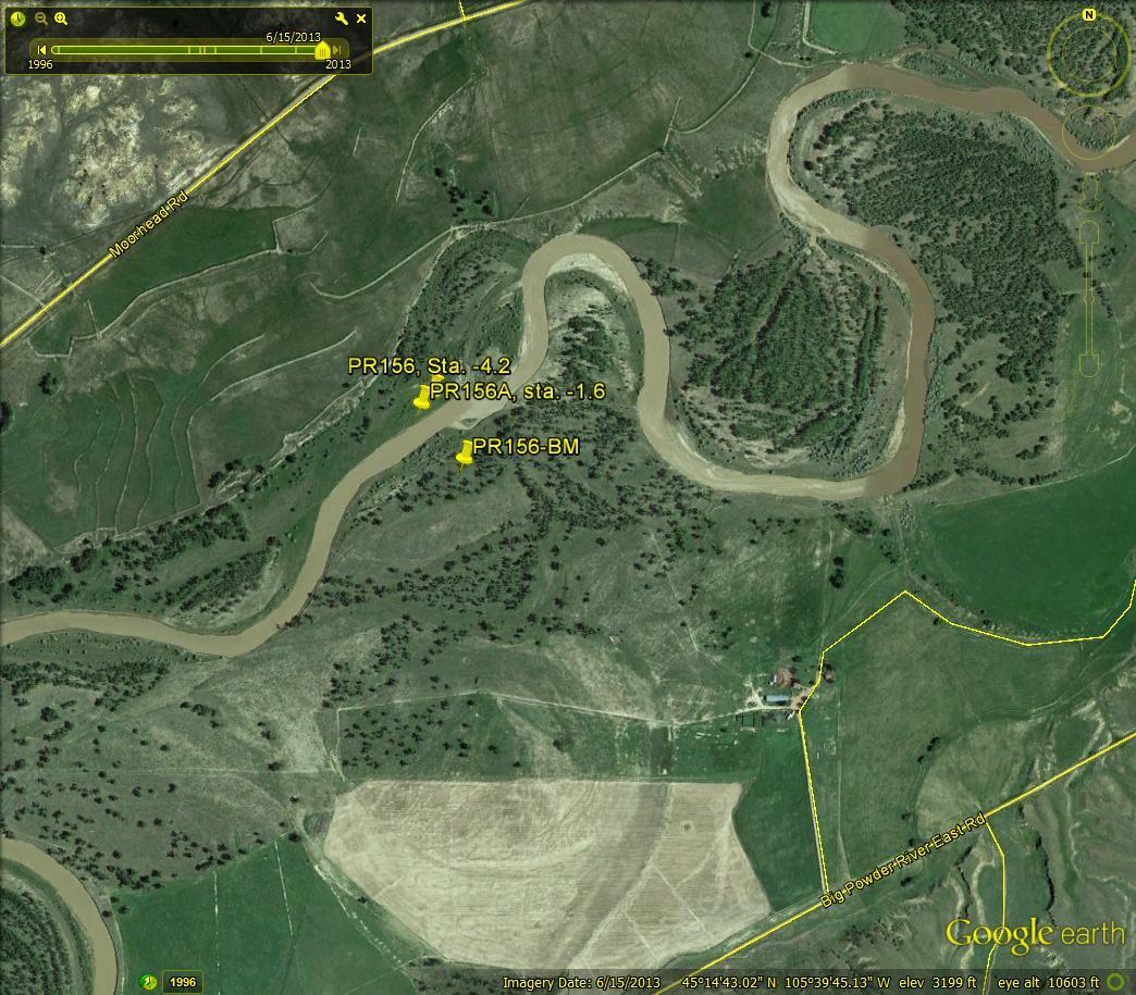

Cross Section PR156A
Download narrative and photos for cross section PR156A

Cross Section PR163
Download narrative and photos for cross section PR163


Cross Section PR167
Download narrative and photos for cross section PR167


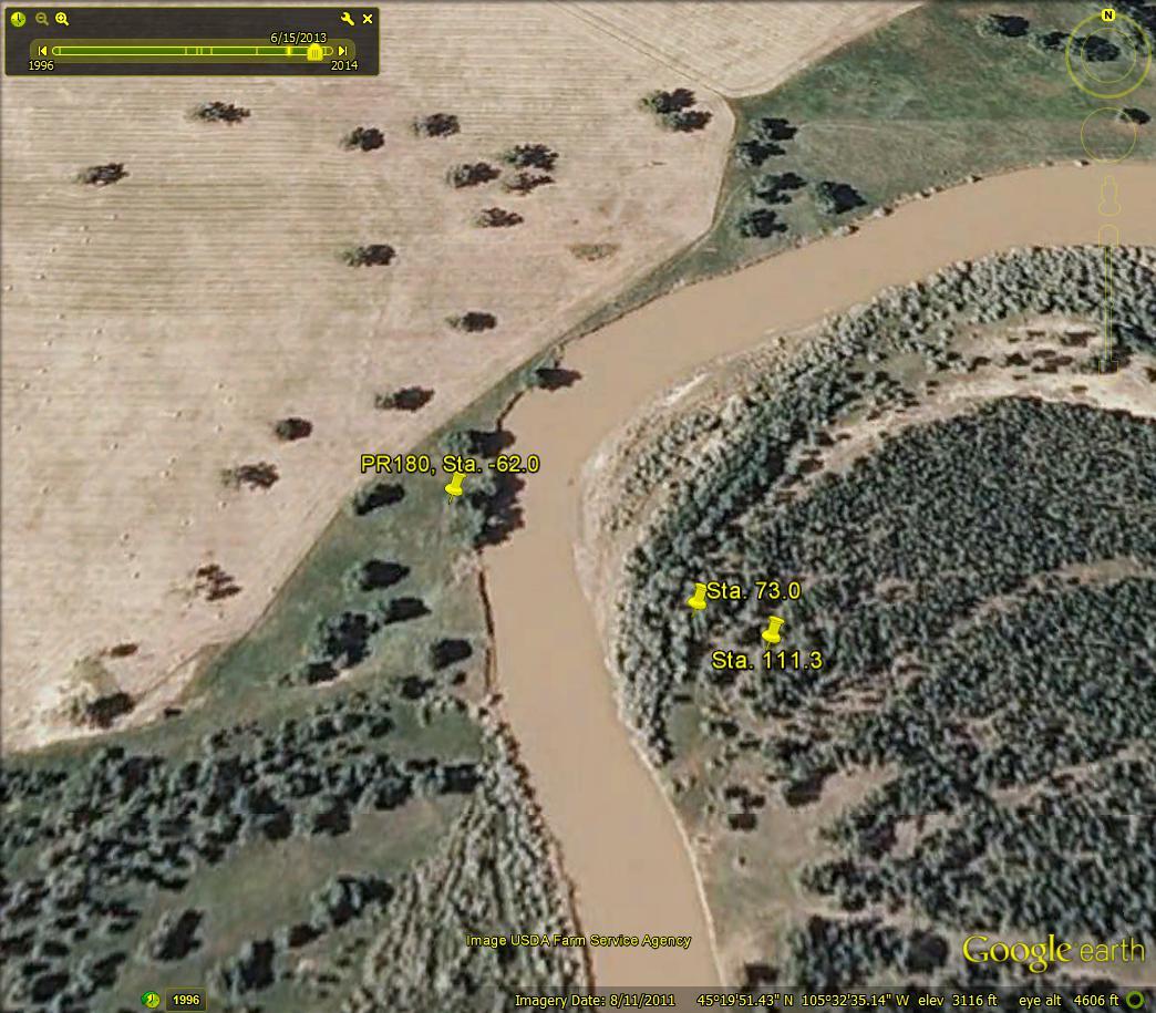
Cross Section PR180
Download narrative and photos for cross section PR180

Cross Section PR183
Download narrative and photos for cross section PR183


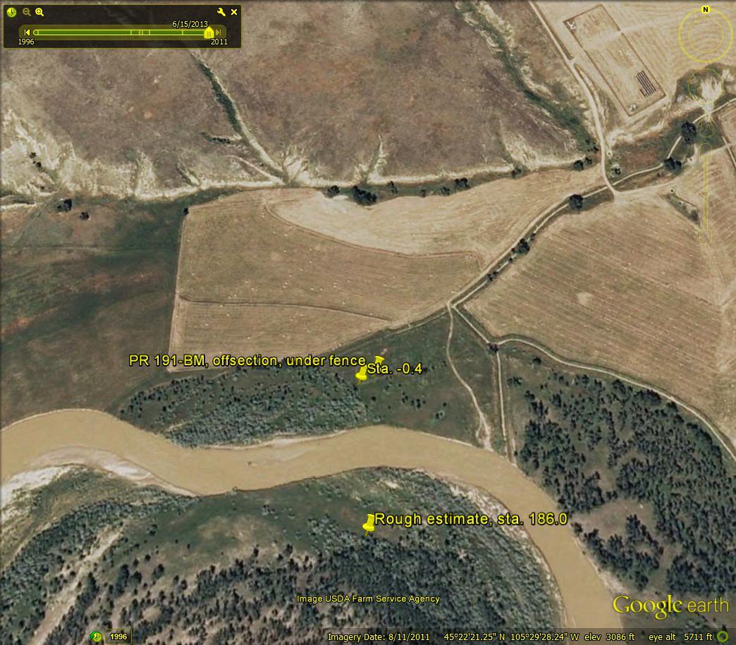
Cross Section PR191
Download narrative and photos for cross section PR191

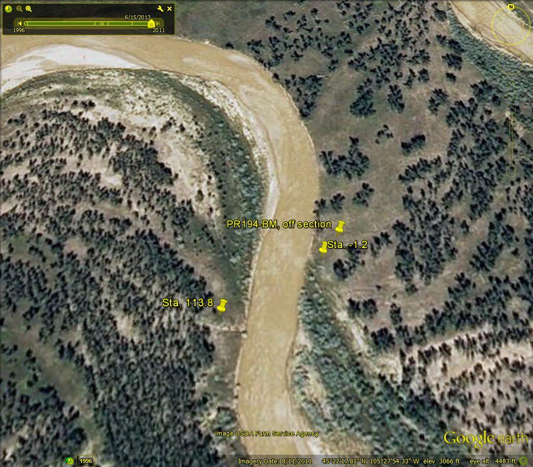
Cross Section PR194
Download narrative and photos for cross section PR194

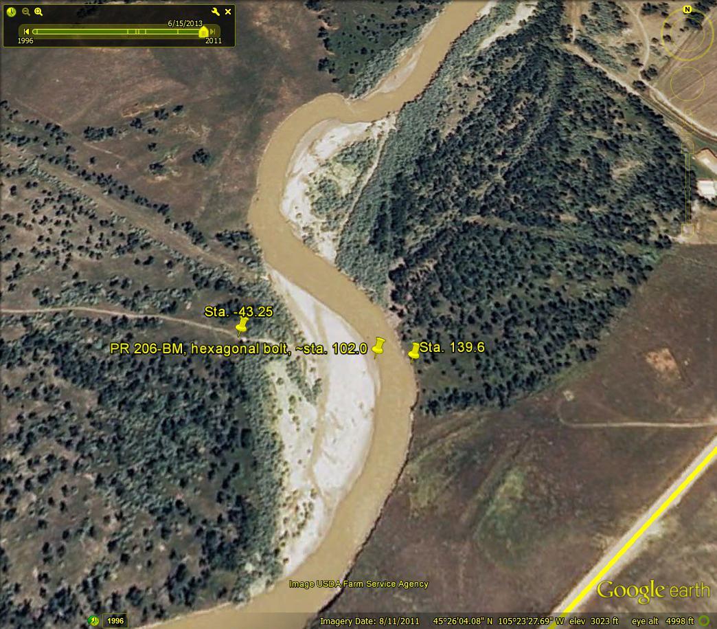
Cross Section PR206
Download narrative and photos for cross section PR206

Powder River rises in the Bighorn Mountains of Wyoming and flows northward through a semi-arid landscape in Wyoming and Montana to the Yellowstone River. The river drains an area of 34,700 square kilometers and has an average discharge of about 500 million cubic meters per year. Cross-channel profile data were collected at 22 sites on the river and its tributaries from 1975 through 2014.
Introduction
Powder River rises in the Bighorn Mountains of Wyoming and flows northward through a semi-arid landscape in Wyoming and Montana to the Yellowstone River. The river drains an area of 34,700 square kilometers and has an average discharge of about 500 million cubic meters per year (or 16 cubic meters per second).
The river in the adjacent photo is at about bed-full flow (12 m3 s-1, Moody and others, 1999), and several riffles with disturbed water can be seen downstream between smooth glassy reaches of the river. A narrow band (~2-4 m wide) of reddish sedge (Scirpus spp.) grows just above the bed-full level along the edge of water with a wider band of mixed grasses (Agropyron repens, A. pauciflorum, Bromus inermis, Elymus canadenis, Spartina pectinata, and S. cynosoroids), willow (Salix exigua), tamarisk (Tamirix ramosissima) and small cottonwood seedlings and trees (Populus sargentii) on the flood plain. Three terrace levels have been identified along the river (Leopold and Miller, 1954; Moody and Meade, 2008). The first is the Lightning Terrace with small cottonwood trees (seen here without leaves) adjacent to the floodplain in the right-center of the photo. The second is the Moorcroft Terrace seen best forming the left bank and extending as a flat surface to the left (west) with a few large cottonwood trees still retaining their green leaves. The third is the colluvial Kaycee Terrace that grades slowly upwards and meets the hills of the Fort Union Formation. It can be seen on the right side at the base of the hills and in the far distance on the left side, west of the white ranch buildings.
Powder River has no dams or other large-scale human modifications, which, combined with its substantial suspended-sediment load (2-3 million metric tons per year), makes it an optimal outdoor laboratory for studying natural fluvial processes (Moody and Meade, 1990; Hubert, 1993; Moody and others 2002). A research program was started in 1975 and, by 1977, 20 channel cross sections had been established in the 93-km reach, with the uppermost (PR113) just upstream from the Moorhead gage and the lowermost (PR206, see map) just downstream from the Broadus gage. Cross section PR120 crosses the river in the above photo at a point near where the shadows from the large cottonwood trees on the left bank meet the river downstream from the apex of the nearer bend (Moody and others 1999; Pizzuto and others, 2008). An extreme flood in 1978 (779 m3 s-1) (Moody and Meade, 2008; Meade and Moody, 2013) was a major disturbance that widened the channel, caused two meander cutoffs (not visible in this photo), and deposited fresh sediment on the Lightning and Moorcroft terraces. Two additional cross sections (PR 122A and PR141A) were established on the cutoffs in 1979, and the post-flood response has been monitored at most channel cross sections through 2012. Elevation datum is NGVD29, and all cross-sectional data (1975-1998) also are available in the Results tab of this page.
Current Discharge Data
Citation For This Dataset
Moody, J.A., and Meade, R.H., 2014, Powder River: Data for cross-channel profiles at 22 sites in southeastern Montana from 1975 through 2014, Washington: U.S. Geological Survey Data Set, doi:10.5066/F70Z719C.
General Data
- Daily Discharge Data for Moorhead, MT, 1975-2014 (Excel format)
- Powder River Cross Section Data Availability Timeline (Excel format)
Cross Section Information
Download cross-section data from our data release page for the cross sections discussed below (link opens in a new tab).
Cross Section PR113
Download narrative and photos for cross section PR113
Cross Section PR116
Download narrative and photos for cross section PR116
Cross Section PR120
Download narrative and photos for cross section PR120
Cross Section PR122
Download narrative and photos for cross section PR122
Cross Section PR122A
Download narrative and photos for cross section PR122A
Cross Section PR125
Download narrative and photos for cross section PR125
Cross Section PR130
Download narrative and photos for cross section PR130
Cross Section PR136
Download narrative and photos for cross section PR136
Cross Section PR141
Download narrative and photos for cross section PR141
Cross Section PR141A
Download narrative and photos for cross section PR141A
Cross Section PR141P7
Download narrative and photos for cross section PR141P7
Cross Section PR147
Download narrative and photos for cross section PR147
Cross Section PR151
Download narrative and photos for cross section PR151
Cross Section PR156
Download narrative and photos for cross section PR156
Cross Section PR156A
Download narrative and photos for cross section PR156A
Cross Section PR163
Download narrative and photos for cross section PR163
Cross Section PR167
Download narrative and photos for cross section PR167
Cross Section PR180
Download narrative and photos for cross section PR180
Cross Section PR183
Download narrative and photos for cross section PR183
Cross Section PR191
Download narrative and photos for cross section PR191
Cross Section PR194
Download narrative and photos for cross section PR194
Cross Section PR206
Download narrative and photos for cross section PR206