
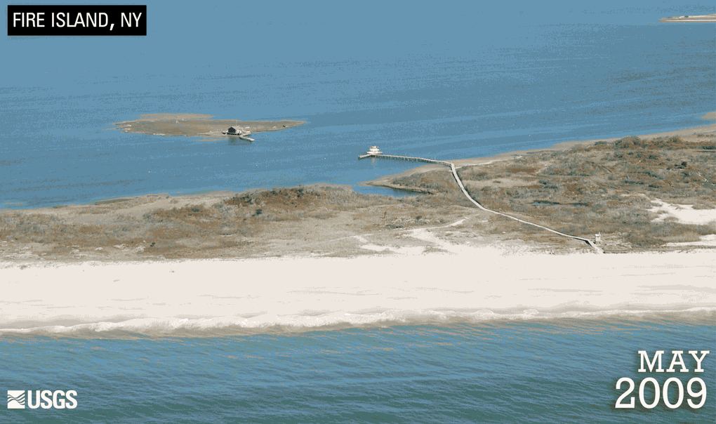
When Hurricane Sandy struck the south shore of Long Island, New York, on October 29, 2012, it caused substantial erosion of the beach and dunes. Storm waves cut through Fire Island National Seashore’s wilderness area, forming a breach. The resulting channel allowed water to flow between the Atlantic Ocean and Great South Bay.

Since the storm, what is now known as the “wilderness breach” has grown to over 600 feet in width. How to respond to the breach remains a contentious debate among Long Island residents and local officials. Some think the breach should remain open; others think it should be filled.
Breaches occur naturally on barrier islands, causing considerable environmental changes. As ocean and bay water are exchanged, the concentration of pollutants in the bay could decrease and lead to improved water quality. However, an open breach can alter the risk of flooding and impact communities and infrastructure.
“It’s been fascinating to see how the breach and nearby resources have evolved,” said Michael Bilecki, Chief of Natural Resources at the National Park Service (NPS), who supervises staff biologists and collaborates with agency and academic scientists on research in the park.
“While the breach is not a solution to the underlying issue of nitrogen pollution, it has meant the possibility of improving the water quality in small areas of the Great South Bay,” he said.


Because the breach is within the National Seashore, the NPS is required to complete an Environmental Impact Statement (EIS) to assess the consequences of alternative responses to the breach. The Army Corps of Engineers and the New York State Department of Environmental Conservation were formally asked to assist in preparing the EIS.
"Within the EIS report, we've identified three management options for public review: use mechanical equipment to fill the breach, leave the breach to run its natural course, or monitor the breach’s evolution in order to determine if it’s a threat to life and (or) property," Bilecki said.
Making a well-informed decision about these options requires scientific data and professional expertise. Within days of Hurricane Sandy, the NPS started collecting data in collaboration with the U.S. Geological Survey (USGS) and other research organizations to understand the state of the breach. Analysis of those data was led by the USGS, who used state-of-the-art tools, such as simulation models and time-series studies of shoreline dynamics, to predict future storm scenarios and anticipate the effects of the breach.
“We’ve run simulations of Hurricane Sandy to determine if the Great South Bay would experience flooding with or without the wilderness breach,” said Bill Schwab, a USGS marine geologist who researched the impact of Sandy on the barrier island system.


The science team found that if a storm similar to Hurricane Sandy occurred today, the breach in Fire Island’s wilderness would account for an additional 3-inch rise in water for the Great South Bay.
“That means that the breach would have minimal impact on the Great South Bay, and the actual effect of breaching on the flood hazard would be small,” Schwab said.
That’s good news for residents concerned that the breach would cause flooding on the mainland. Still, the fate of the breach has yet to be determined. The National Park Service plans on releasing the Draft Wilderness Breach Management Plan/EIS in fall 2016.
“The information gained from our partnership with the USGS, along with other State and Federal agencies and our academic partners has been of tremendous value to us,” said Bilecki. “We have a better understanding of how breaches function, so we can make more informed decisions on what to do next.”
The insight gained from Fire Island can inform breach management decisions in other coastal areas and during future storms. For example, the USGS is actively investigating breaches that occurred in several Southeastern States after Hurricane Matthew.


For more information on coastal science, contact David Applegate, USGS Associate Director for Natural Hazards, at applegate@usgs.gov.
For more information on regional issues, contact Michael Tupper, USGS Northeast Regional Director, at mtupper@usgs.gov.
Read more stories about USGS science in action.
