USGS Mineral Resources Program Highlights
Spring 2021 Edition of the USGS Energy Quarterly Newsletter
As Spring 2021 ends, here are a few highlights from the USGS Mineral Resources Program’s recent activities and publications.
Mineral Commodity Summaries
In February, the USGS National Minerals Information Center put out its 2021 edition of the Mineral Commodity Summaries, a long-running publication that provides a comprehensive source of mineral production data for the world and includes information on the domestic industry structure, government programs, tariffs and five-year salient statistics on more than 88 mineral commodities that are important to the U.S. economy and national security.
Earth MRI Airborne Surveys
As part of the Earth MRI project, the USGS and state geological surveys undertook airborne geophysical surveys in Colorado, Maine, and Minnesota. Instruments on the airplanes will measure variations in the Earth’s magnetic field and natural low-level radiation created by different rock types up to several miles beneath the surface. This information will help researchers develop geologic maps in three dimensions, which can provide scientists with the framework needed to better evaluate natural resources, groundwater or earthquake hazards.
Critical Mineral Updates to USMIN
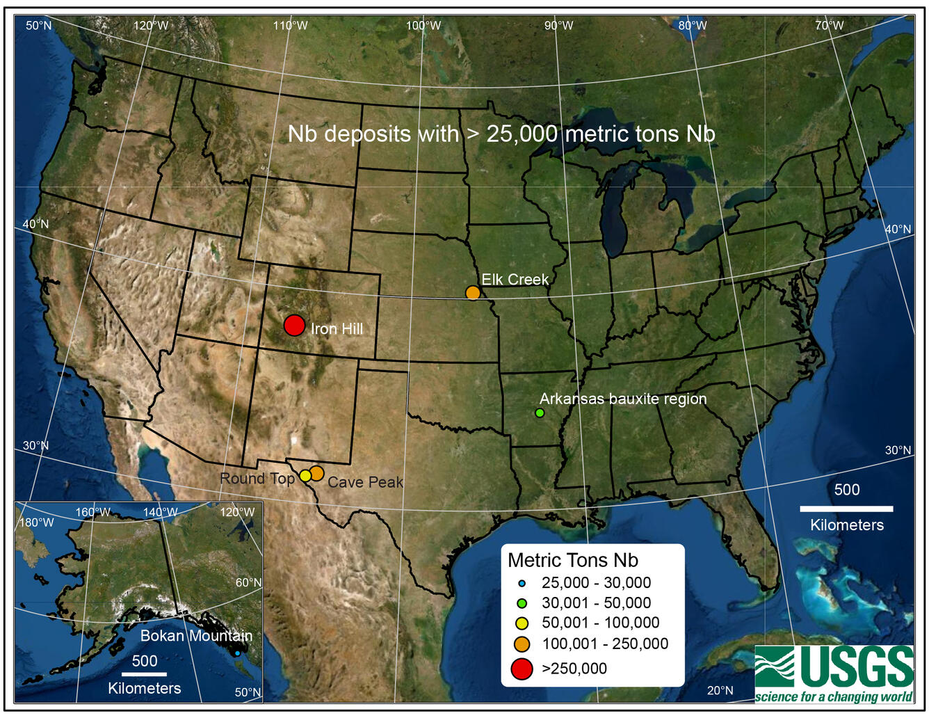
The USGS has been adding critical mineral information to its USMIN database, a national-scale geospatial database that is the authoritative source for the most important mines, mineral deposits and mineral districts of the U.S. Recent additions consist of U.S. sites that include mineral regions, mines and mineral occurrences that contain enrichments of gallium, niobium and tantalum.
Recent Publications
- Dating fault damage along the eastern Denali fault zone with hematite (U-Th)/He thermochronometry
- Improved Automated Identification and Mapping of Iron Sulfate Minerals, Other Mineral Groups, and Vegetation using Landsat 8 Operational Land Imager Data, San Juan Mountains, Colorado, and Four Corners Region
- Petrology and geochronology of 1.48 to 1.45 Ga igneous rocks in the St. Francois Mountains terrane, southeast Missouri
More USGS Mineral Resources Program Publications can be found here.
Recent Data Releases
- GIS Data for Geologic Map of the Challis 1 x 2 Degrees Quadrangle, Idaho
- Ground-based time-domain electromagnetic data and resistivity models near Manistee National Forest, Michigan, 2020
- GIS Data (ver. 2) for Geologic Terranes of the Hailey 1 x 2 Degrees Quadrangle and the Western Part of the Idaho Falls 1 x 2 Degrees Quadrangle, South-Central Idaho
More USGS Mineral Resources Program Data Releases can be found here.
To stay up-to-date on USGS Mineral Resources Science, follow us on Twitter!


