
Newberry gets new names for some of its many geologic features.
Evidence for early Holocene human occupation in the Newberry caldera provides the context for USGS geologist's work with the Klamath Tribes and the Deschutes National Forest to add tribal names describing geologic features that help tell the story of its many volcanic eruptions.
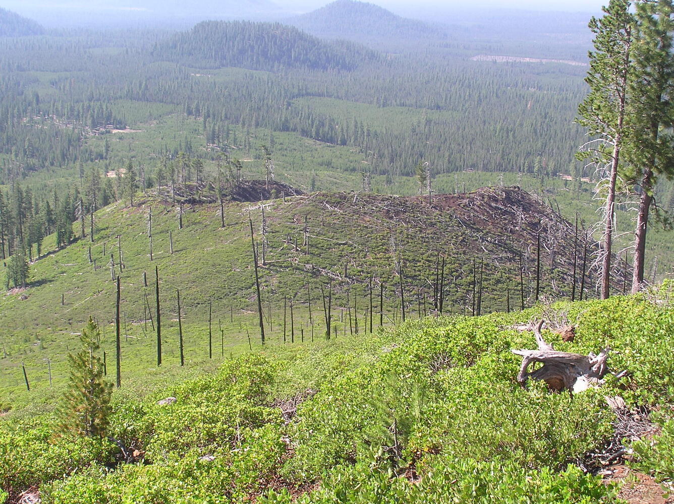
In Oregon, Newberry lavas cover nearly 1200 square miles. Lava underlies the populated areas of Sunriver and Bend and extends beyond Redmond, where it temporarily filled the Crooked River channel near Smith Rock. A fissure eruption 7,000 years ago extended 20 miles across the volcano creating Lava Butte and Lava Cast Forest—featured sites within Newberry National Volcanic Monument of the Deschutes National Forest. Several explosive caldera collapse eruptions have occurred, accompanied by pyroclastic flows and ash falls. Newberry Volcano’s most recent eruption occurred 1300 years ago sending a plume of volcanic ash to Idaho and creating the Big Obsidian Flow, a popular destination within the caldera. On Newberry’s edifice, there are as many as 400 cinder cones that represent over 300 eruptions during the half-million-year history of the volcano.
While Newberry is a land of many fascinating features, few are named. But that’s changing. USGS research geologist Julie Donnelly-Nolan led the effort to add 26 new names, which have now been approved by the U.S. Board on Geographic Names.
Evidence for early Holocene human occupation in the Newberry caldera provided the context for her work with the Klamath Tribes and the Deschutes National Forest, adding tribal names to describe geologic features that help tell the story of its many volcanic eruptions.
Among the names approved is Qdai Dome. Qdai, meaning rock, aptly describes the exposed rocky surface of this postglacial rhyolite dome in the southern part of Newberry caldera. Its lava flow reached the south shore of East Lake, and was later buried (mostly) by the younger Mazama ash that was deposited when Mount Mazama erupted to form Crater Lake, and Newberry pumice from the initial phase of the ~1300-year-old Big Obsidian Flow eruption.

Another is Atsa Cone. Atsa means red, and describes this very young cinder cone perched on the side of an older cone (Kweo Butte) on the upper south side of Newberry Volcano.
The 26 names join 25 previously approved that currently appear on the multi-agency Central Oregon Cascades Recreation Map.
For more on Newberry, see:
“Newberry Volcano—Central Oregon's Sleeping Giant”, USGS Fact Sheet 2011-3145, https://pubs.er.usgs.gov/publication/fs20113145.
“Newberry Volcano's youngest lava flows”, Scientific Investigations Map 3329, https://pubs.er.usgs.gov/publication/sim3329.
“Field-trip guide to the geologic highlights of Newberry Volcano, Oregon”, Scientific Investigations Report 2017-5022- J2, https://pubs.er.usgs.gov/publication/sir20175022J2.