Elevated Arsenic in Grand Canyon Region Groundwater Sites Likely from Natural Sources
About 12% of 230 groundwater sites sampled in the Grand Canyon region over 45 years show arsenic concentrations greater than the U.S. Environmental Protection Agency Maximum Contaminant Level for drinking water, according to a new U.S. Geological Survey report.
About 12% of 230 groundwater sites sampled in the Grand Canyon region over 45 years show arsenic concentrations greater than the U.S. Environmental Protection Agency Maximum Contaminant Level for drinking water, according to a new U.S. Geological Survey report. The source of the arsenic in many of these sites is likely from naturally occurring geothermal activity.
Available data indicate limited evidence of mining effects on elevated arsenic in groundwater, although slow groundwater flow paths in the region may result in extended times of decades or more for groundwater to reach springs and wells.
The establishment of baseline groundwater quality is an important first step in monitoring for change in water chemistry that may be related to uranium mining in the region.

“Groundwater is a critical water resource for communities in the Grand Canyon region,” said Fred Tillman, USGS research hydrologist and lead author of the study. “Our ongoing groundwater monitoring efforts provide information to evaluate current and future effects from uranium mining on regional water resources.”
Some of the highest-grade uranium ore in the United States is found in the Grand Canyon region. In 2012, approximately one million acres of federal land in the Grand Canyon watershed were withdrawn from new mining claims for a period of 20 years, in part, to gather additional information about what effects mining may have on the cultural, biological and water resources in the area. Since the 2012 withdrawal, USGS has collected and analyzed more than 1,000 water samples in the Grand Canyon region to characterize water quality and monitor for changes that may be related to uranium mining in the area.

The USGS is investigating possible effects from uranium mining on groundwater resources in the region. Elements other than uranium commonly associated with ore deposits, such as arsenic, may pose a greater risk than uranium to human populations in the area.
Researchers looked at 652 water samples that were collected from 182 springs and 48 wells between June 1977 and September 2022. Of the 230 groundwater locations sampled, 28 (12%) of them had maximum observed arsenic concentrations above the federal maximum drinking water standard, substantially more than the 5% of groundwater sites that exceeded uranium drinking water standards discussed in a previous report.
Many of the highest arsenic concentrations, including the highest of 875 µg/L, or 87.5 times the drinking water standard, at Pumpkin Spring, were found at groundwater sites in the southwestern region of the Grand Canyon area on or near the Hualapai Nation, likely from geothermal sources. While elevated arsenic was found in some groundwater sites in the study area, concentrations are actually statistically less than arsenic from other groundwater sites in Arizona.
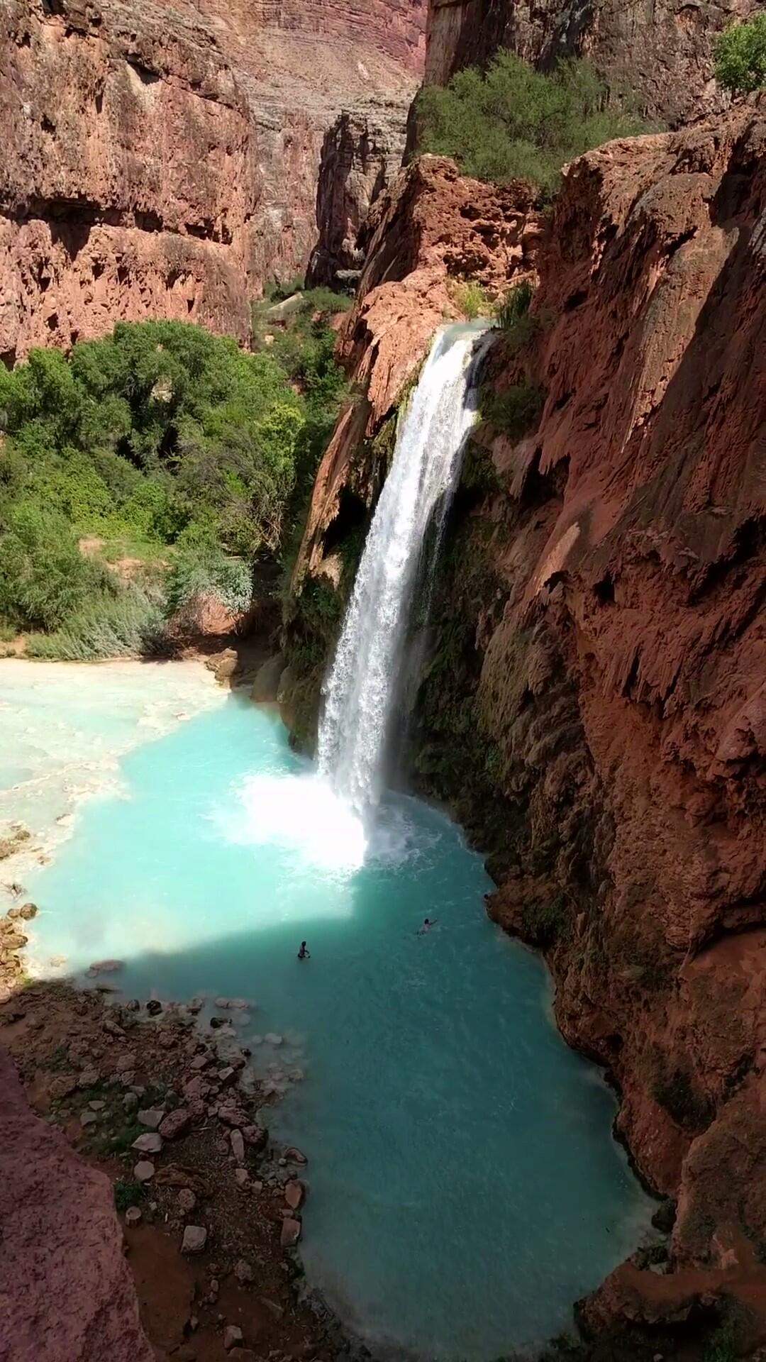
The Grand Canyon in northern Arizona is an iconic area of the American Southwest. It is considered a sacred home for many Native Americans. A globally popular tourist destination, it receives over 6 million visitors each year. Most communities in the area depend entirely on groundwater for all their water uses.
The article "Arsenic in Groundwater in the Grand Canyon Region and an Evaluation of Potential Pathways for Arsenic Contamination of Groundwater from Breccia Pipe Uranium Mining" is published in the journal PLOS Water. For information on arsenic and uranium concentrations in groundwater at Grand Canyon Region sites, visit this interactive mapping tool: https://webapps.usgs.gov/uraniummap