USGS Prepares to Assess Resources on the Moon!
USGS Scientists Work to Assess Lunar Resources.

Who doesn’t love the beautiful paintings of future cities on the Moon with dozens, if not thousands, of humans exploring the Moon and enjoying life at 1/6th gravity! In the back of those paintings you usually see a variety of activities to extract energy, minerals, and water from the lunar surface. NASA’s new plan to return to the Moon understands that a sustained human presence on the Moon will require the ability to use local materials (also known as “ISRU” or “In Situ Resource Utilization”). The USGS attended the Lunar ISRU Workshop held on July 15-17, 2019, in Columbia, Maryland where multiple space agencies, academics from many different disciplines, and representatives from a host of commercial entities discussed how to turn what sounds like science fiction into reality.
Perhaps the greatest excitement comes from the fact that, near the poles of the Moon, there are craters whose rims are in almost permanent sunlight with floors that are in permanent shadow. This provides reliable solar power for attempts to extract the likely deposits of water ice trapped in these extremely cold areas. Another key resource is “regolith”, the blanket of pulverized rock that covers the Moon after billions of years of bombardment by meteorites of all sizes. This lunar “dirt” can be piled onto lunar habitats as protection, fused into a concrete-like material for construction, and even be used as a source of oxygen.
Surveying natural resources was the key job Congress gave the USGS when it was created on March 3, 1879. Over the past few decades the USGS has developed and refined a systematic method for doing mineral resource assessments (as well as similar methods for energy and water resource assessments). This methodology has a remarkable ability to condense a vast array of geologic and economic factors into a few numbers that non-scientists can understand and act upon. This makes the USGS assessments widely used and trusted. In 2017 we published a study that showed that the methods the USGS uses on Earth can be applied to asteroid resources with only modest modification [https://pubs.usgs.gov/of/2017/1041/ofr20171041.pdf].
With the renewed emphasis on returning humans to the Moon, we investigated doing assessments of solar energy, regolith, and water. We found that the uncertainties related to solar energy are dominated by uncertainties in the topography of the Moon. While the USGS has special expertise in producing topographic maps, there is no good reason to use complex statistical methods in this case. When it comes to lunar ice/water, the USGS methodology is stymied by a lack of information on how the deposits were formed. A conceptual model of the geologic processes involved is the framework needed to combine different types of data in a scientifically and statistically rigorous way. However, once a mission drills into the lunar ice and tests various hypotheses for the origin of these deposits, the existing data collected by the international armada of lunar orbiting satellites can be brought to bear on this problem. NASA announced at the workshop that it is planning just such a “prospecting” mission.
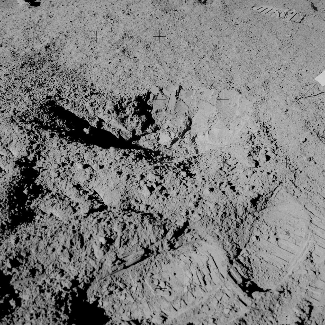
For now, it is regolith that we can assess using a modestly modified version of the USGS mineral assessment methodology. With the data and samples from the Apollo missions, we have a robust understanding of the regolith in several locations on the Moon. This allows us to use global geologic mapping and a variety of observations from orbit to confidently estimate the regolith properties across the Moon. While we have no go-ahead (yet) to conduct a regolith assessment, we have identified individuals across many parts of the USGS who have the expertise and data to make this happen quickly.
Written by Laszlo Kestay