Photo and Video Chronology – Kīlauea – August 5, 2022
Multimedia of recent activity on Kīlauea volcano.
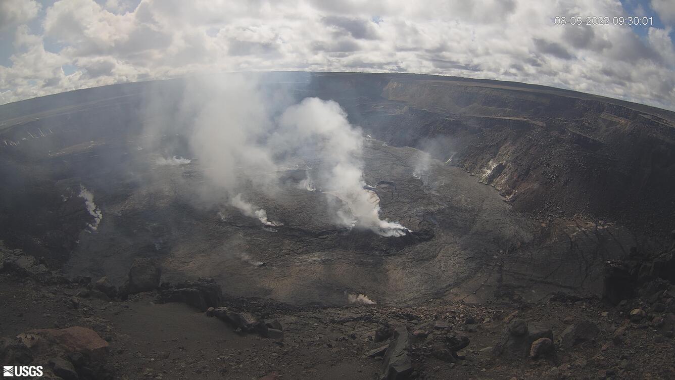
Views of Kīlauea's continuing summit eruption


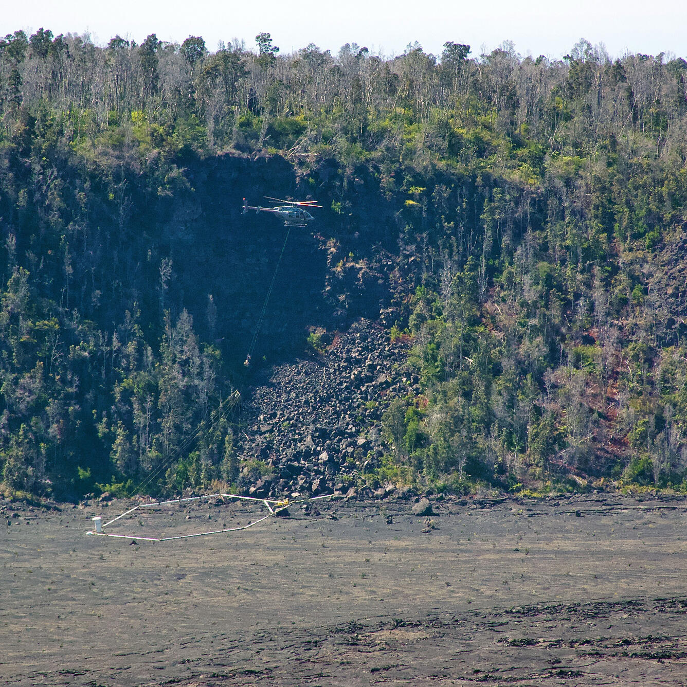
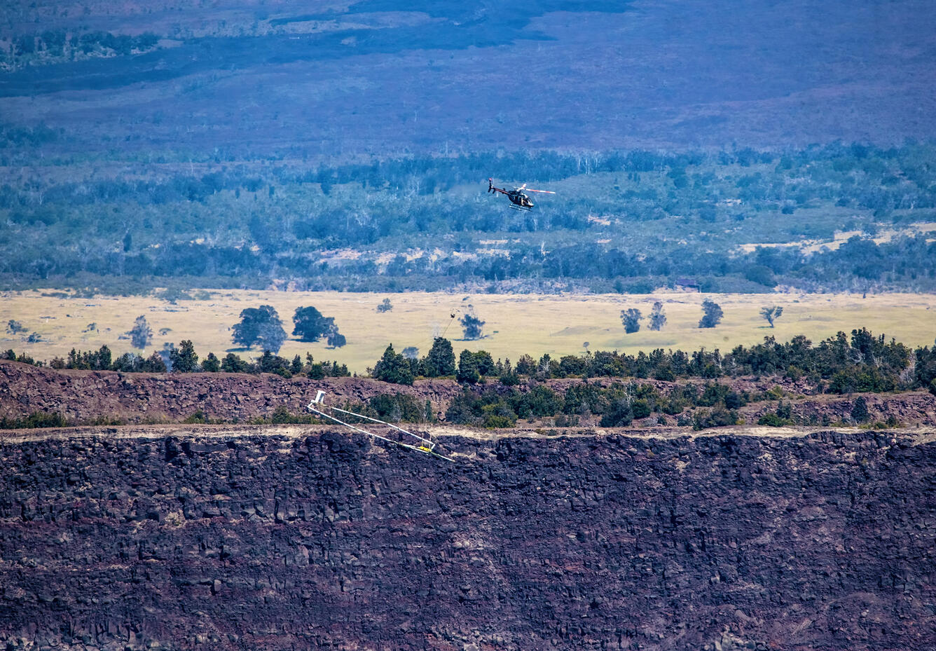
More photographs of the Airborne Electromagnetic and Magnetic (AEM) survey within Kīlauea caldera on July 28, 2022
During the survey, a helicopter flew about 150 feet above the ground, carrying a 40-foot diameter hoop suspended 35 feet below it. The system transmits weak, low-frequency radio waves into the ground, measures the Earth's response and passively detects variations in the Earth’s magnetic field. These variations will allow scientists to create an image of the shallow (upper 2,000 ft) magmatic structure, fault systems, and groundwater pathways beneath Kīlauea’s surface.
You can learn more about this survey on the project webpage: https://www.usgs.gov/supplemental-appropriations-for-disaster-recovery-…
Or in this "Volcano Watch" article: https://www.usgs.gov/observatories/hvo/news/volcano-watch-playing-wire-…