Cascade volcanoes are so much more than towering peaks
Massive volcanoes dot the Cascade Range from British Columbia into Northern California, but what about the space in between the peaks? Volcanoes in those places aren’t unlike those found along the track of the Yellowstone hotspot in Idaho.
Yellowstone Caldera Chronicles is a weekly column written by scientists and collaborators of the Yellowstone Volcano Observatory. This week's contribution is from James Genero IV, EarthScope Consortium intern at the U.S. Geological Survey Cascades Volcano Observatory and 2025 Jack Kleinman Memorial Fund for Volcano Research grant recipient.
Yellowstone Caldera is one of the most well-known volcanic systems in the USA. Also famous are the towering volcanoes of the Pacific Northwest—giant composite volcanoes made of lava and ash like Mount Rainier, Mount St. Helens, and Mount Hood. Less well known, however, are the smaller volcanoes that lie between those giant mountains and that also dot the landscape of the west—cinder cones and craters that often exist in clusters called distributed volcanic fields. Craters of the Moon in Idaho is a good example, as are the volcanic fields of the southwestern USA, which are home to places like Sunset Crater (near Flagstaff in northern Arizona).
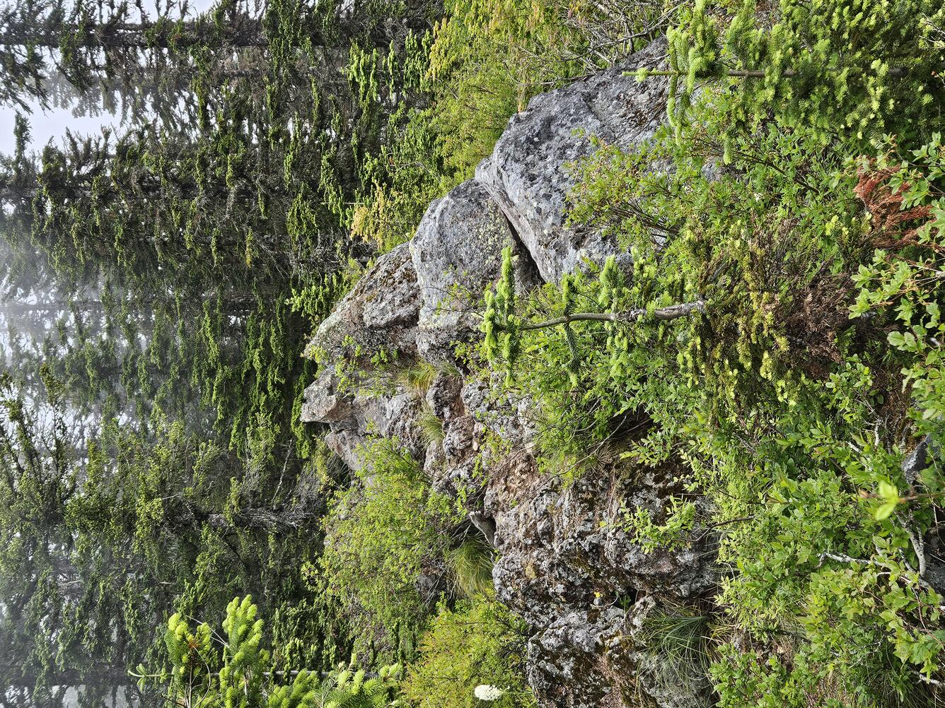
Distributed volcanic fields can span hundreds of square miles and often lack a main volcanic cone that erupts repeatedly. Instead, each eruption produces a new vent that is active for one eruption cycle and then goes extinct. In the subsequent eruption, a new vent will pop up elsewhere. Distributed volcanic eruptions can express themselves in many shapes and sizes, ranging from a single basaltic lava flow with a small spatter cone to long, thick and sticky lava flows with a dome. In some cases, they can produce ashfall and craters from explosive eruptions!
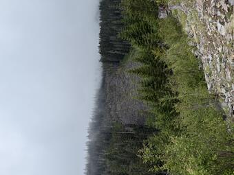
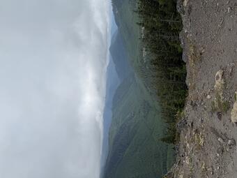
Single eruptive vents like these make up the overwhelming majority of volcanoes in the Cascade Range—there are on the order of thousands interspersed between the major volcanic cones of Oregon and southern Washington. Two of these distributed fields in southern Washington could potentially host future volcanic eruptions: West Crater and Indian Heaven. Let’s take a deeper dive into one of these locales—the West Crater Volcanic Field.
The West Crater area stretches from Marble Mountain (just south of Mount St. Helens) in the north to Trout Creek Hill (12 miles north of the Columbia River) in the south. The earliest known activity in this area was around 360,000 years ago with the eruption of the basalt of Soda Peaks, which was a small lava flow. Since that time, this area experienced 15 eruptions. In the last 10,000 years alone there were two confirmed and three additional suspected eruptions, including andesitic lava flows, a basaltic scoria cone, and an explosive event. The most recent eruption occurred as recently as 2,000 years ago and produced two andesite lava flows and a lava dome.
Volcanism at West Crater is not well understood, particularly regarding the composition and origin depth of the magma, the depth and temperature of magma storage prior to eruptions, and the controls on magma composition over time. To address some of these questions, geologists from the USGS Cascades Volcano Observatory, which is responsible for monitoring the region, studied the chemistry and characteristics of the rocks.
By examining a very thin slice of West Crater volcanic rock under a microscope, it is possible to determine the characteristics of the crystals that make up the rock. This crystal assemblage provides an indication of the depths and temperatures at which the source magma might have been stored before eruption. In addition, information on the magma origins can be gleaned from the chemical makeup of the rock. The new research at West Crater aimed to address these unknowns, which can be used, by analogy, to better understand eruptions in other distributed volcanic fields around the USA. Results suggest that West Crater andesitic magma incorporated significant amounts of crustal rock at depths of 6–24 km (4–15 mi) before erupting. This process, called assimilation, can explain why some eruptions in the region formed sticky lava flows and generated explosive eruptions. The West Crater basaltic magmas, in contrast, incorporated little to no crustal rock and stalled at deeper levels (more than 24 km, or 15 mi), and upon reaching the surface fed eruptions similar in style to those in Hawaiʻi and Iceland. These compositional differences between West Crater magmas are therefore primarily a result of assimilation of crustal rocks, and both types of magma share a similar starting composition that is probably akin to that erupted at the nearby Indian Heaven volcanic field.
There hasn’t been an eruption at West Crater, or any other distributed volcano in the Cascade Range, since the area was explored and settled by Europeans and Americans several hundred years ago, but future eruptions are certain. They are the most abundant type of volcano in the Cascades by far, and they can also be found in nearly all states of the western USA. For more information on distributed volcanoes in the Cascade Range, check out the links below.
Washington:
Oregon: