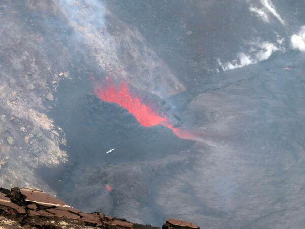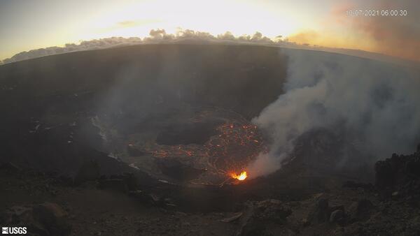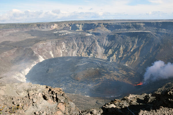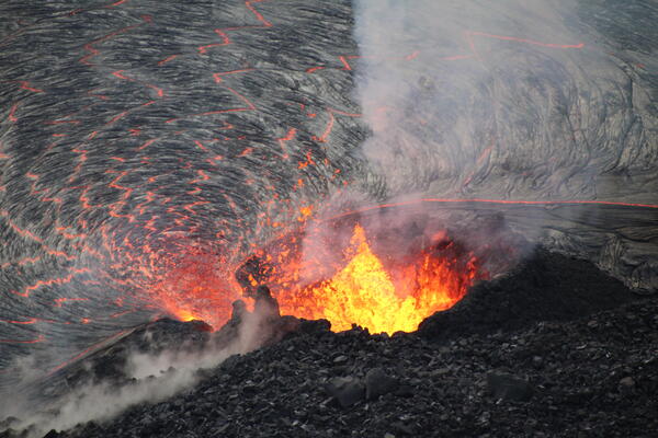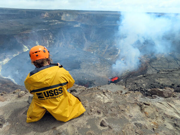
October 8, 2021 — Kīlauea summit eruption monitoring
October 8, 2021 — Kīlauea summit eruption monitoringUSGS scientist takes video of the erupting west vent within Halema‘uma‘u crater, at the summit of Kīlauea. Photo taken from the northwest rim of Halema‘uma‘u at 12:27 p.m. HST on Oct. 8, 2021. USGS photo by J.M. Chang.