



Deep Dive: Building Resilience to Wildfire in the West
In the West, fire is beneficial to many ecosystems and many of the region’s Tribes have used fire for millennia to support healthy environments. Yet wildfire can also threaten life, safety, property, and ecosystems. Explore how CASC science helps managers reduce wildfire risks, safely and effectively implement prescribed and cultural fire, and support post-wildfire restoration.
In much of the western United States, wildfire is vital for keeping ecosystems healthy and reducing the risk of catastrophic fires. Although historically common across much of the region, wildfire also poses significant threats to public safety, local economies, ecosystems and the services they provide, and puts firefighters and other responders at risk. In recent years, the U.S. has experienced devastating wildfires, while the number of people, homes, and businesses in the wildland-urban interface (WUI) has grown. The USGS Climate Adaptation Science Centers (CASCs) address the wildland fire challenge by supporting science informing fire prevention, response, restoration, and resilience strategies.
Managing wildland fire in the context of environmental change is a complex and increasingly urgent challenge. Rising temperatures, prolonged droughts, and earlier snowmelt, combined with increased amounts of fuel from flammable invasive species and past management activities, have created conditions that are conducive to large, destructive fires and a longer fire season. These fires not only threaten lives and property but also disrupt habitats and can alter entire landscapes. Recent warming has worsened risks already posed by historical fire suppression practices and the expansion of communities into fire-prone areas.
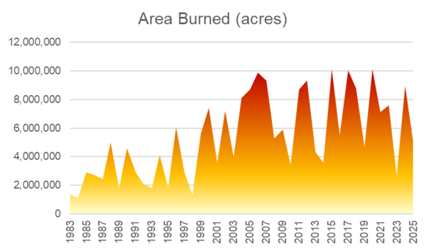
The economic costs of wildland fires are substantial and growing. Nearly a decade ago, direct costs and losses were already between \$71B and \$348B per year. These costs included preparing for and fighting wildfire, property damage, deaths and injuries, the impact on real estate prices, and loss of timber. Costs that could not be well quantified, like loss of income and damage to ecosystem services, were not included and as a result, the real cost of wildfire is likely much higher. In the western U.S., the financial burden may be particularly heavy because of the region's large fires and vast public lands. Addressing these challenges requires a comprehensive approach that integrates forecasting, fire management, climate adaptation, and community resilience strategies.
CASC Science
Since 2012, the Southwest, North Central, and Northwest CASCs have supported research that addresses the many challenges posed by wildland fires in the context of climate change. These projects focus on multiple aspects of wildfire science and management, from improved forecasting and risk management to post-fire recovery and the reintroduction of Indigenous burning practices to improve community and ecosystem health. By leveraging innovative approaches and fostering collaboration among researchers, managers, and emergency responders, these projects strive to reduce the severity of wildfires, mitigate their economic and ecological impacts, and improve Tribal, state, and local preparedness.
Forecasting Fire Risk
Reducing Risk & Managing Ecosystems
Post-Fire Recovery and Management
Indigenous Fire Management
Forecasting Fire Risk
Effective wildfire management begins with prevention and preparedness. Improved forecasting of when wildfire is likely to be severe improves preparedness and may even help prevent fires by encouraging greater caution during risky weather. Understanding the drivers of past big fire years can inform fire management planning for the coming season. Communities can use near-term forecasts of fuel and weather conditions to manage ignition risk and response. These forecasts can also support fire suppression efforts, allowing firefighters to choose tactics that effectively control fire while keeping personnel safer.
Our Science
Weather, Winds, and Wildfire Risk
To better anticipate extreme fire events and update fire-danger warnings, this project addressed ecological, meteorological, and social aspects of fire. One component of the study focused on describing California’s fire regimes, patterns of wildfire frequency, season, severity, and size that vary from place to place. Another aspect of the research evaluated the role of weather conditions, including Santa Ana winds in driving the occurrence and spread of fires in Southern California. Researchers also engaged with stakeholders to understand what is already helping communities reduce fire risk and identify barriers to increasing resilience. Programs that help communities identify and reduce risks are working, but significant challenges to reducing development in fire-prone areas remain.
Researchers & partners: USGS Western Ecological Research Center, Desert Research Institute, Scripps Institution of Oceanography
The Science Behind Extreme Wildfire
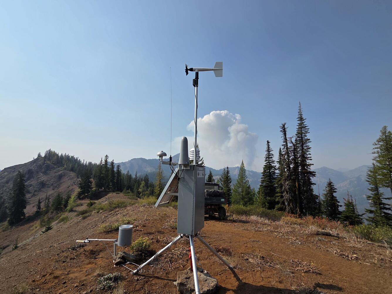
Large fires can be some of the most damaging, costly, and difficult to contain. A team of scientists set out to tackle the question of why some wildfire grows so fast, what the consequences are, and what can be done to protect people and places from these extreme events. While drought can make fire more likely, local conditions probably drive “blow-ups” and incredibly rapid spread. In the Southwest, fast-spreading fires tend to burn the landscape more severely and consistently, reducing the patchiness that maintains habitats and helps them recover from fire. Additionally, forest diversity can reduce fire spread. For example, aspen stands slow fire spread in southwestern forests, making them a potential nature-based firebreak on public lands and around communities.
Researchers & partners: Colorado State University, Western Colorado University, U.S. Forest Service, Bureau of Land Management, Colorado State Forest Service, Southwest Fire Science Exchange, Southern Rockies Fire Science Network
Reducing Risk and Managing Ecosystems
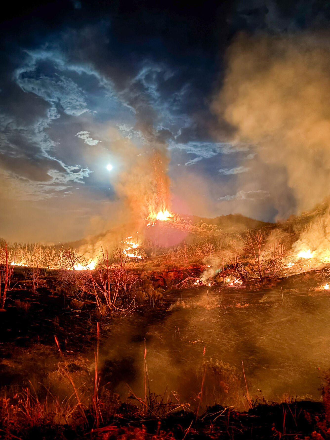
Wildfire is a fact of life in much of the West, and land managers include fire in their planning to conserve species and resources and to help manage other threats, like invasive species. Understanding how fire burns through different kinds of habitats helps managers identify places that might serve as refugia for plants, birds, and wildlife. Research on the effectiveness of prescribed fire – fires that are intentionally set under controlled conditions to reduce future risks or improve habitat conditions – supports managers’ understanding of when, where, and how often to use prescribed fire to meet their goals.
Our Science
Mapping Safe Havens in Old-Growth Forest
Dense, often old-growth forests from northern California through western Oregon and Washington provide important habitats for species like the marbled murrelet. Although infrequent, when fire burns in these forests, it is often severe, burning into the crown, killing many of the trees, and damaging important wildlife habitats. To assist managers in resource planning, researchers used remote sensing and field studies of past fires to predict fire refugia – places where these forests are least likely to burn severely and that create havens for plants and animals. Interestingly, old growth patches with large trees were common fire refugia. In less fire-prone forests, timber harvest reduced the chances of preserving fire refugia by making the forest more uniform.
Researchers & partners: Oregon State University, USGS Oregon Cooperative Fish & wildlife Research Unit, U.S. Forest Service, USGS Forest & Rangeland Ecosystem Science Center
Prescribed Fire in the Prairie
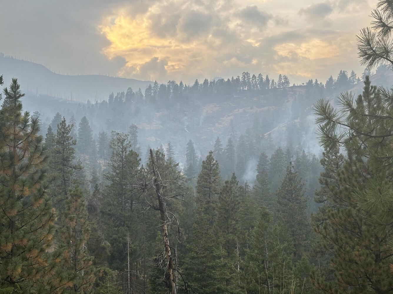
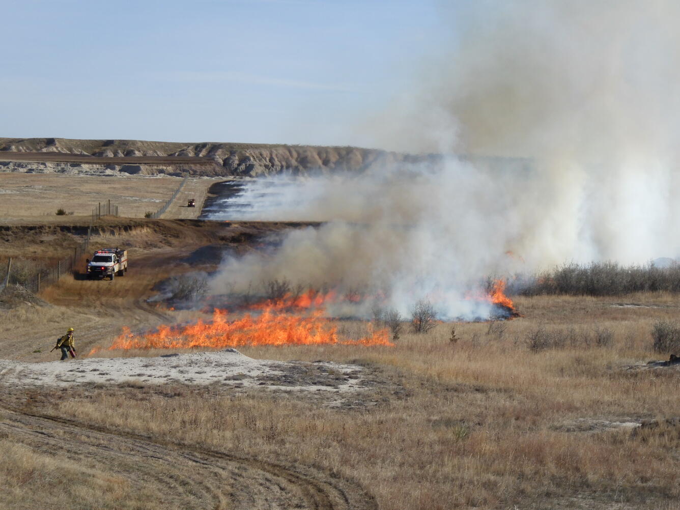
Planned fire is often used for prairie restoration, notably for controlling invasive grasses. Managers can only burn safely and effectively when the weather conditions are right, which, in the northern plains, is usually in spring and fall. But weather conditions on the day of the fire are just part of the picture. USGS researchers are using long-term monitoring data to understand how weather conditions in the months before and immediately after fire in different seasons influence plant responses to prescribed fire. Of particular interest are weather conditions that have high probability of reducing invasive species or, on the other hand, risk increasing the unwanted species. The goal of this work is to help managers refine their burning practices for even better prairie restoration outcomes.
Researchers & partners: USGS Northern Prairie Wildlife Research Center, U.S. Forest Service, National Park Service, U.S. Fish and Wildlife Service
Post-Fire Recovery and Management
Post-fire recovery is essential for reducing risks, restoring ecosystems and the services they provide, and preventing future fires. Some wildfires are fundamentally changing ecosystems, such as from ponderosa pine forest to shrubland and from chaparral to non-native grasses. Land and resource managers need information about how fires might transform ecosystems, along with practical strategies to support them in managing these emerging and rapidly changing landscapes.
Improving the Odds of Sagebrush Recovery
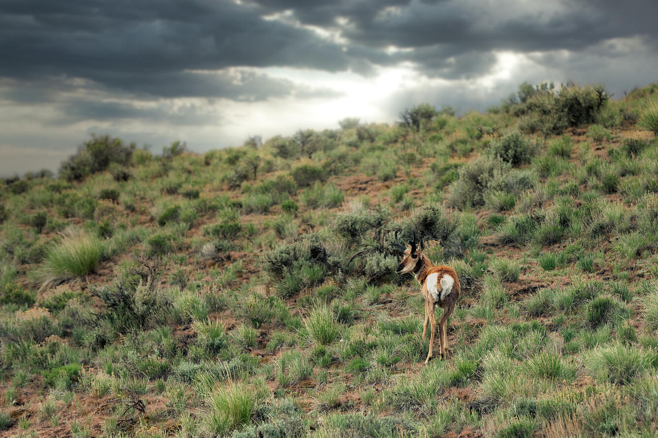
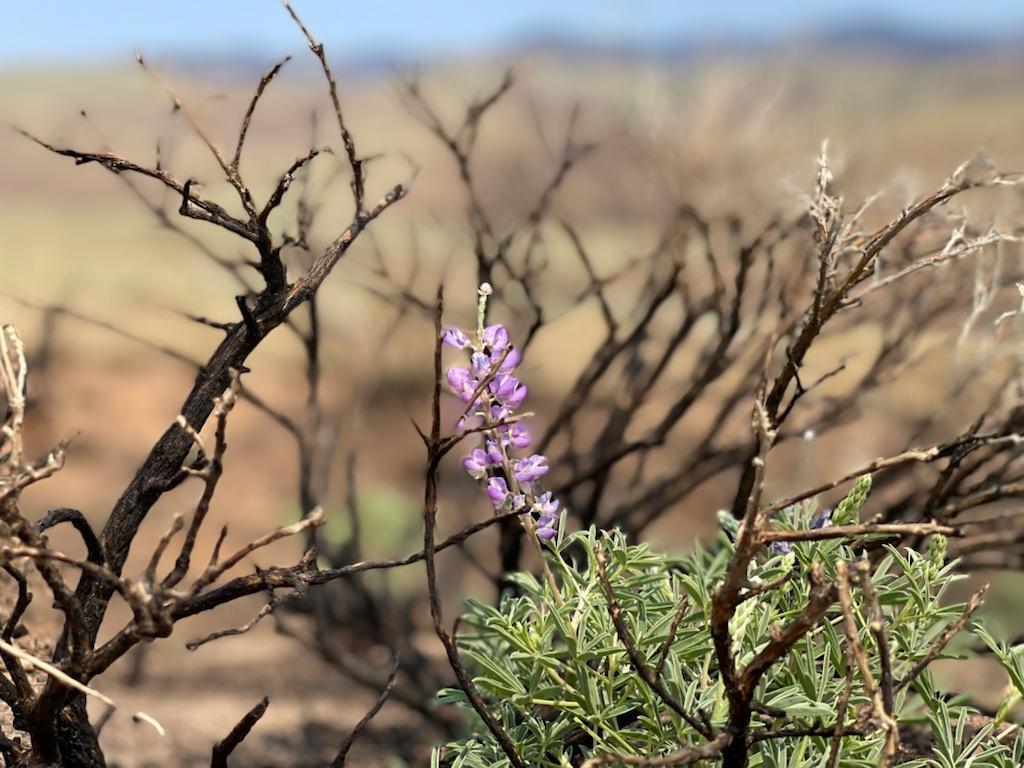
Significant time, expense, and effort are put into post-fire restoration in sagebrush ecosystems. However, seeding and planting efforts often fail to produce effective recovery, increasing the chance that flammable invasives, like cheatgrass, will establish and raise the risk of future fire. In collaboration with managers, scientists used existing maps and data to examine how weather conditions in the year following restoration efforts influenced success. They found that sagebrush restoration was effective during drought. This spurred them to incorporate the capacity for tracking soil moisture drought in the Land Treatment Exploration Tool to improve the chances that restoration will be successful.
Researchers & partners: USGS
Our Science
A RAD Response to Post-fire Restoration
The Resist-Accept-Direct (RAD) framework outlines broad approaches that land and resource managers can use to respond to changing conditions. They can resist changes and try to preserve historical ecosystem characteristics, accept the changes and deal with the transformation as it occurs, or direct the changes toward a new, but preferred state. Post-fire restoration creates particularly challenging decisions for managers. Making choices about how to approach transformation is more effective with information about how conditions are likely to change. Scientists are leading an effort to provide sets of plausible future vegetation and wildfire regime scenarios that managers can use in thinking through when and how to employ RAD.
Researchers & partners: University of Montana, Conservation Science Partners, The Nature Conservancy, U.S. Forest Service, National Park Service, Washington State Department of Natural Resources, Bureau of Land Management
Fuel, Fire, and Forest Futures
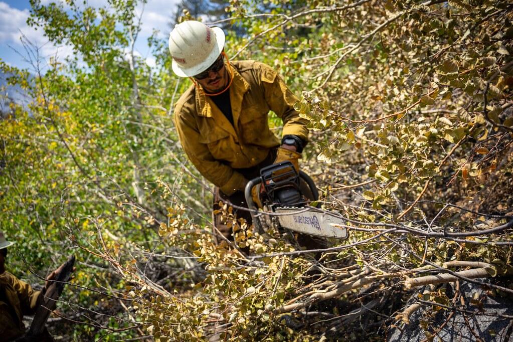
In California, like in much of the West, wildland fires were historically common and ecologically beneficial. Recently, however, fires in California have grown larger and more destructive, threatening health and safety, local economies, and the resilience of public lands. Forest managers are exploring new ways to reduce the risks of destructive fire and respond to fires in ways that support healthy recovery. To do that, researchers are revisiting long-term research plots to measure fuels (vegetation and debris available to burn) in places that have burned and those that have not. The resulting maps will provide federal land managers throughout the Sierra Nevada with the accurate information they need to make decisions about fuel reduction treatments. They will also help managers understand recovery trajectories, identify areas that might transition from forest to other vegetation, and better quantify how quickly burned areas accumulate new fuel.
Researchers & partners: USGS Western Ecological Research Center; National Park Service; University of Washington; University of California, Berkeley; University of California, Davis; Michigan State University; U.S. Forest Service
Indigenous Fire Management
Indigenous peoples have used fire to cultivate healthy ecosystems for millennia. Over much of the 20th century, regulations aimed at reducing fire risk limited Tribes’ ability to use fire in ways that supported resilient, safe, and healthy communities and continued traditions. Recent years have seen renewed efforts to restore “good fire” and document the outcomes using both Indigenous and western science approaches. Many of these efforts also focused on building community capacity and learning networks. These initiatives highlight the importance of Indigenous leadership and cultural practices in addressing climate effects on wildfire and fostering sustainable land management.
Our Science
Tribal-Led Renewal of Black Oak Traditions
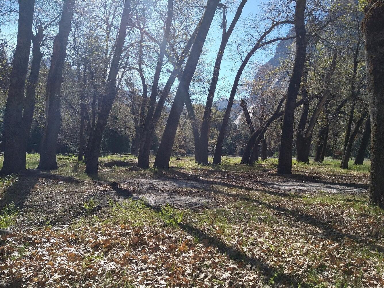
Tribes in and around Yosemite Valley have long tended the black oak groves found there. This cultivation maintained the health of the forest and the animals that live there while also providing communities with nutritious foods. Traditional management practices, including intentional burning, were largely prohibited after these groves were included in Yosemite National Park. Since then, the health of the oaks, forest, and local communities have all diminished. Local Tribal members and Yosemite National Park staff are learning together how to re-establish traditional cultivation after many years without it, to share that knowledge with others, and to document the health of the oak groves throughout the process.
Researchers & Partners: National Park Service, Calaveras Health Impact Product Solutions
NPS video: Restoring Tribal Tending of Black Oaks in Yosemite Valley
Community-Led Solutions to Wildfire Risk
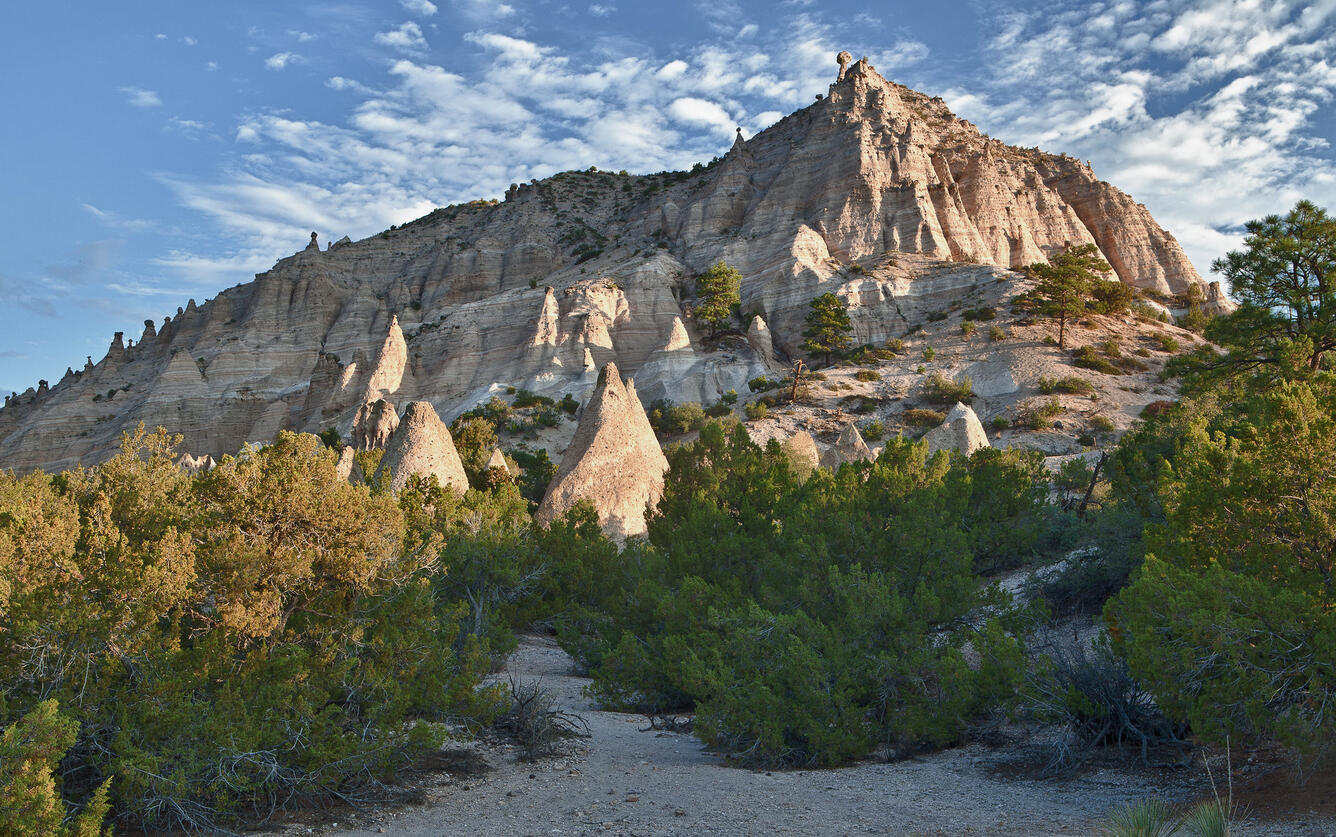
Pueblo de San Ildefonso, like many communities in northern New Mexico, has recently experienced wildfires that were larger or more severe than expected from historical patterns. One unique consequence of wildfire in this area is increased erosion and transport of sediments that can contain contaminants from the nearby Los Alamos National Laboratory. Fire risk is only growing as conditions become warmer and drier and flammable invasive species spread. Protecting the community, local ecosystems, and cultural resources from future fires and their aftermath is a high priority. The Pueblo engaged community members and turned to the western scientific literature to develop priorities and research questions about how effectively different invasive species control techniques could reduce wildfire risk without negatively impacting native plants and birds. In doing so, they developed a shareable library of landscape management resources.
Researchers & partners: Pueblo de San Ildefonso
Learn More
More Deep Dives
About the Southwest CASC
About the North Central CASC
About the Northwest CASC
In the West, fire is beneficial to many ecosystems and many of the region’s Tribes have used fire for millennia to support healthy environments. Yet wildfire can also threaten life, safety, property, and ecosystems. Explore how CASC science helps managers reduce wildfire risks, safely and effectively implement prescribed and cultural fire, and support post-wildfire restoration.
In much of the western United States, wildfire is vital for keeping ecosystems healthy and reducing the risk of catastrophic fires. Although historically common across much of the region, wildfire also poses significant threats to public safety, local economies, ecosystems and the services they provide, and puts firefighters and other responders at risk. In recent years, the U.S. has experienced devastating wildfires, while the number of people, homes, and businesses in the wildland-urban interface (WUI) has grown. The USGS Climate Adaptation Science Centers (CASCs) address the wildland fire challenge by supporting science informing fire prevention, response, restoration, and resilience strategies.
Managing wildland fire in the context of environmental change is a complex and increasingly urgent challenge. Rising temperatures, prolonged droughts, and earlier snowmelt, combined with increased amounts of fuel from flammable invasive species and past management activities, have created conditions that are conducive to large, destructive fires and a longer fire season. These fires not only threaten lives and property but also disrupt habitats and can alter entire landscapes. Recent warming has worsened risks already posed by historical fire suppression practices and the expansion of communities into fire-prone areas.
The economic costs of wildland fires are substantial and growing. Nearly a decade ago, direct costs and losses were already between \$71B and \$348B per year. These costs included preparing for and fighting wildfire, property damage, deaths and injuries, the impact on real estate prices, and loss of timber. Costs that could not be well quantified, like loss of income and damage to ecosystem services, were not included and as a result, the real cost of wildfire is likely much higher. In the western U.S., the financial burden may be particularly heavy because of the region's large fires and vast public lands. Addressing these challenges requires a comprehensive approach that integrates forecasting, fire management, climate adaptation, and community resilience strategies.
CASC Science
Since 2012, the Southwest, North Central, and Northwest CASCs have supported research that addresses the many challenges posed by wildland fires in the context of climate change. These projects focus on multiple aspects of wildfire science and management, from improved forecasting and risk management to post-fire recovery and the reintroduction of Indigenous burning practices to improve community and ecosystem health. By leveraging innovative approaches and fostering collaboration among researchers, managers, and emergency responders, these projects strive to reduce the severity of wildfires, mitigate their economic and ecological impacts, and improve Tribal, state, and local preparedness.
Forecasting Fire Risk
Reducing Risk & Managing Ecosystems
Post-Fire Recovery and Management
Indigenous Fire Management
Forecasting Fire Risk
Effective wildfire management begins with prevention and preparedness. Improved forecasting of when wildfire is likely to be severe improves preparedness and may even help prevent fires by encouraging greater caution during risky weather. Understanding the drivers of past big fire years can inform fire management planning for the coming season. Communities can use near-term forecasts of fuel and weather conditions to manage ignition risk and response. These forecasts can also support fire suppression efforts, allowing firefighters to choose tactics that effectively control fire while keeping personnel safer.
Our Science
Weather, Winds, and Wildfire Risk
To better anticipate extreme fire events and update fire-danger warnings, this project addressed ecological, meteorological, and social aspects of fire. One component of the study focused on describing California’s fire regimes, patterns of wildfire frequency, season, severity, and size that vary from place to place. Another aspect of the research evaluated the role of weather conditions, including Santa Ana winds in driving the occurrence and spread of fires in Southern California. Researchers also engaged with stakeholders to understand what is already helping communities reduce fire risk and identify barriers to increasing resilience. Programs that help communities identify and reduce risks are working, but significant challenges to reducing development in fire-prone areas remain.
Researchers & partners: USGS Western Ecological Research Center, Desert Research Institute, Scripps Institution of Oceanography
The Science Behind Extreme Wildfire
Large fires can be some of the most damaging, costly, and difficult to contain. A team of scientists set out to tackle the question of why some wildfire grows so fast, what the consequences are, and what can be done to protect people and places from these extreme events. While drought can make fire more likely, local conditions probably drive “blow-ups” and incredibly rapid spread. In the Southwest, fast-spreading fires tend to burn the landscape more severely and consistently, reducing the patchiness that maintains habitats and helps them recover from fire. Additionally, forest diversity can reduce fire spread. For example, aspen stands slow fire spread in southwestern forests, making them a potential nature-based firebreak on public lands and around communities.
Researchers & partners: Colorado State University, Western Colorado University, U.S. Forest Service, Bureau of Land Management, Colorado State Forest Service, Southwest Fire Science Exchange, Southern Rockies Fire Science Network
Reducing Risk and Managing Ecosystems
Wildfire is a fact of life in much of the West, and land managers include fire in their planning to conserve species and resources and to help manage other threats, like invasive species. Understanding how fire burns through different kinds of habitats helps managers identify places that might serve as refugia for plants, birds, and wildlife. Research on the effectiveness of prescribed fire – fires that are intentionally set under controlled conditions to reduce future risks or improve habitat conditions – supports managers’ understanding of when, where, and how often to use prescribed fire to meet their goals.
Our Science
Mapping Safe Havens in Old-Growth Forest
Dense, often old-growth forests from northern California through western Oregon and Washington provide important habitats for species like the marbled murrelet. Although infrequent, when fire burns in these forests, it is often severe, burning into the crown, killing many of the trees, and damaging important wildlife habitats. To assist managers in resource planning, researchers used remote sensing and field studies of past fires to predict fire refugia – places where these forests are least likely to burn severely and that create havens for plants and animals. Interestingly, old growth patches with large trees were common fire refugia. In less fire-prone forests, timber harvest reduced the chances of preserving fire refugia by making the forest more uniform.
Researchers & partners: Oregon State University, USGS Oregon Cooperative Fish & wildlife Research Unit, U.S. Forest Service, USGS Forest & Rangeland Ecosystem Science Center
Prescribed Fire in the Prairie
Planned fire is often used for prairie restoration, notably for controlling invasive grasses. Managers can only burn safely and effectively when the weather conditions are right, which, in the northern plains, is usually in spring and fall. But weather conditions on the day of the fire are just part of the picture. USGS researchers are using long-term monitoring data to understand how weather conditions in the months before and immediately after fire in different seasons influence plant responses to prescribed fire. Of particular interest are weather conditions that have high probability of reducing invasive species or, on the other hand, risk increasing the unwanted species. The goal of this work is to help managers refine their burning practices for even better prairie restoration outcomes.
Researchers & partners: USGS Northern Prairie Wildlife Research Center, U.S. Forest Service, National Park Service, U.S. Fish and Wildlife Service
Post-Fire Recovery and Management
Post-fire recovery is essential for reducing risks, restoring ecosystems and the services they provide, and preventing future fires. Some wildfires are fundamentally changing ecosystems, such as from ponderosa pine forest to shrubland and from chaparral to non-native grasses. Land and resource managers need information about how fires might transform ecosystems, along with practical strategies to support them in managing these emerging and rapidly changing landscapes.
Improving the Odds of Sagebrush Recovery
Significant time, expense, and effort are put into post-fire restoration in sagebrush ecosystems. However, seeding and planting efforts often fail to produce effective recovery, increasing the chance that flammable invasives, like cheatgrass, will establish and raise the risk of future fire. In collaboration with managers, scientists used existing maps and data to examine how weather conditions in the year following restoration efforts influenced success. They found that sagebrush restoration was effective during drought. This spurred them to incorporate the capacity for tracking soil moisture drought in the Land Treatment Exploration Tool to improve the chances that restoration will be successful.
Researchers & partners: USGS
Our Science
A RAD Response to Post-fire Restoration
The Resist-Accept-Direct (RAD) framework outlines broad approaches that land and resource managers can use to respond to changing conditions. They can resist changes and try to preserve historical ecosystem characteristics, accept the changes and deal with the transformation as it occurs, or direct the changes toward a new, but preferred state. Post-fire restoration creates particularly challenging decisions for managers. Making choices about how to approach transformation is more effective with information about how conditions are likely to change. Scientists are leading an effort to provide sets of plausible future vegetation and wildfire regime scenarios that managers can use in thinking through when and how to employ RAD.
Researchers & partners: University of Montana, Conservation Science Partners, The Nature Conservancy, U.S. Forest Service, National Park Service, Washington State Department of Natural Resources, Bureau of Land Management
Fuel, Fire, and Forest Futures
In California, like in much of the West, wildland fires were historically common and ecologically beneficial. Recently, however, fires in California have grown larger and more destructive, threatening health and safety, local economies, and the resilience of public lands. Forest managers are exploring new ways to reduce the risks of destructive fire and respond to fires in ways that support healthy recovery. To do that, researchers are revisiting long-term research plots to measure fuels (vegetation and debris available to burn) in places that have burned and those that have not. The resulting maps will provide federal land managers throughout the Sierra Nevada with the accurate information they need to make decisions about fuel reduction treatments. They will also help managers understand recovery trajectories, identify areas that might transition from forest to other vegetation, and better quantify how quickly burned areas accumulate new fuel.
Researchers & partners: USGS Western Ecological Research Center; National Park Service; University of Washington; University of California, Berkeley; University of California, Davis; Michigan State University; U.S. Forest Service
Indigenous Fire Management
Indigenous peoples have used fire to cultivate healthy ecosystems for millennia. Over much of the 20th century, regulations aimed at reducing fire risk limited Tribes’ ability to use fire in ways that supported resilient, safe, and healthy communities and continued traditions. Recent years have seen renewed efforts to restore “good fire” and document the outcomes using both Indigenous and western science approaches. Many of these efforts also focused on building community capacity and learning networks. These initiatives highlight the importance of Indigenous leadership and cultural practices in addressing climate effects on wildfire and fostering sustainable land management.
Our Science
Tribal-Led Renewal of Black Oak Traditions
Tribes in and around Yosemite Valley have long tended the black oak groves found there. This cultivation maintained the health of the forest and the animals that live there while also providing communities with nutritious foods. Traditional management practices, including intentional burning, were largely prohibited after these groves were included in Yosemite National Park. Since then, the health of the oaks, forest, and local communities have all diminished. Local Tribal members and Yosemite National Park staff are learning together how to re-establish traditional cultivation after many years without it, to share that knowledge with others, and to document the health of the oak groves throughout the process.
Researchers & Partners: National Park Service, Calaveras Health Impact Product Solutions
NPS video: Restoring Tribal Tending of Black Oaks in Yosemite Valley
Community-Led Solutions to Wildfire Risk
Pueblo de San Ildefonso, like many communities in northern New Mexico, has recently experienced wildfires that were larger or more severe than expected from historical patterns. One unique consequence of wildfire in this area is increased erosion and transport of sediments that can contain contaminants from the nearby Los Alamos National Laboratory. Fire risk is only growing as conditions become warmer and drier and flammable invasive species spread. Protecting the community, local ecosystems, and cultural resources from future fires and their aftermath is a high priority. The Pueblo engaged community members and turned to the western scientific literature to develop priorities and research questions about how effectively different invasive species control techniques could reduce wildfire risk without negatively impacting native plants and birds. In doing so, they developed a shareable library of landscape management resources.
Researchers & partners: Pueblo de San Ildefonso