U.S. flag

An official website of the United States government

A selection of coastal and ocean videos and photographs from across the USGS.

Map of subtropical southwest Atlantic Ocean; water in blue, landmasses in black, and ocean currents as animated white arrows.
Gulf Stream Animation from NASA Perpetual Ocean
Cartoon image of a sediment core, coral slab x-ray, clam shell, and a foramnifera
Coral, Clam, Core, and Foram!
people using long pole to retrieve small floating piece of equipment in the ocean
Mendocino RROBS Retrieval
back of a ship on the ocean during the day
Mendocino RROBS Retrieval
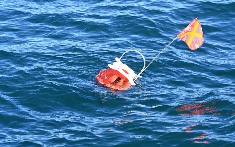
equipment floating in the ocean
Mendocino RROBS Retrieval
The Research Vessel Parke Snavely conducting a bathymetric survey near the Santa Cruz waterfront.
RV Parke Snavely - Santa Cruz waterfront
Two USGS scientists on a boat, wearing orange personal floatation devices, hold half of a clamshell found in Tampa Bay.
USGS scientists holding Tampa Bay clamshell
large piece of equipment in warehouse
BOBSled
A camera system sits on a boat deck with all its components attached to a frame sits on a boat deck.
BOBSled with its major components labeled
Three people working on a big piece of equipment inside
Learning about BOBSled
Person walks along shoreline carrying a backpack used for surveying elevation.
Elevation data collected on a beach
Person drives a personal water craft near the shoreline.
Elevation data collected from a personal water craft

Get Our News

These items are in the RSS feed format (Really Simple Syndication) based on categories such as topics, locations, and more. You can install an RSS reader browser extension, software, or use a third-party service to receive immediate news updates depending on the feed that you have added. If you click the feed links below, they may look strange because they are simply XML code. An RSS reader can easily read this code and push out a notification to you when something new is posted to our site.

Was this page helpful?