



Postfire Landslide Monitoring Station: “Pasadena Glen” (2025 Eaton Fire) near Pasadena Glen, CA
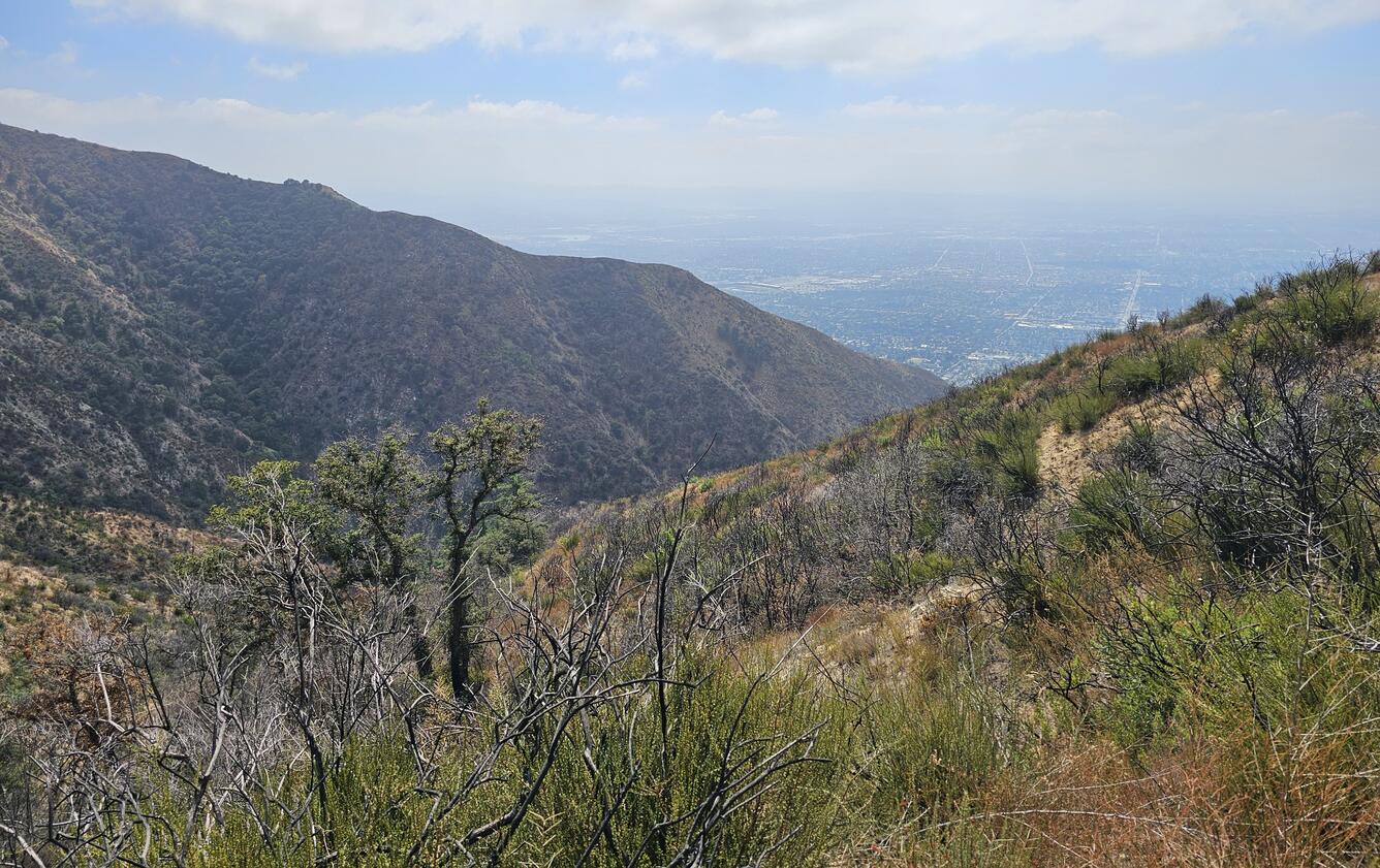
Wildfire can increase landslide susceptibility in mountainous terrain. The USGS maintains postfire landslide monitoring stations to track hillslope hydrologic conditions in the years following fire.
Recent Conditions
Instrumentation was installed within the footprint of the 2025 Eaton Fire in the San Gabriel Mountains of southern California. The surface and subsurface data are used to monitor and detect changes in local hillslope hydrologic conditions. Soil-water content, soil suction, soil temperature, and groundwater level are measured in a single nest on the same hillslope. Telemetered data for the site include:
- Rainfall
- Air temperature and relative humidity
- Soil-water content, soil suction, soil temperature, and groundwater level
- Battery voltage
Data are recorded every minute and updated on the graphs every 60 minutes.
Project Background
To resolve process-based controls on landslide-generated debris flows and to contribute to the development of antecedent soil moisture and rainfall thresholds for the region, a monitoring station is maintained in the Pasadena Glen drainage area within the Angeles National Forest. The surface and near-surface hydrologic monitoring will provide valuable constraints on the conditions leading up to, and during, rainstorms that produce landslides. This monitoring effort is being conducted in collaboration with the California Geological Survey, Burned Watershed Geohazards Program.
Wildfire can increase landslide susceptibility in mountainous terrain. The USGS maintains postfire landslide monitoring stations to track hillslope hydrologic conditions in the years following fire.
Recent Conditions
Instrumentation was installed within the footprint of the 2025 Eaton Fire in the San Gabriel Mountains of southern California. The surface and subsurface data are used to monitor and detect changes in local hillslope hydrologic conditions. Soil-water content, soil suction, soil temperature, and groundwater level are measured in a single nest on the same hillslope. Telemetered data for the site include:
- Rainfall
- Air temperature and relative humidity
- Soil-water content, soil suction, soil temperature, and groundwater level
- Battery voltage
Data are recorded every minute and updated on the graphs every 60 minutes.
Project Background
To resolve process-based controls on landslide-generated debris flows and to contribute to the development of antecedent soil moisture and rainfall thresholds for the region, a monitoring station is maintained in the Pasadena Glen drainage area within the Angeles National Forest. The surface and near-surface hydrologic monitoring will provide valuable constraints on the conditions leading up to, and during, rainstorms that produce landslides. This monitoring effort is being conducted in collaboration with the California Geological Survey, Burned Watershed Geohazards Program.