
Mapping the Grand Canyon in 1923: The Birdseye Expedition, part 2
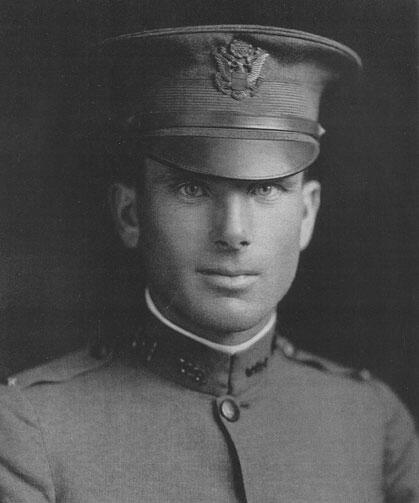
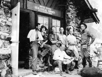
In the summer of 1923, the USGS organized an expedition to make a new map of the Grand Canyon, which was the last stretch of the Colorado River that had not been accurately surveyed. Up until that time, only 27 men were known to have traversed the length of Marble and Grand canyons and of those, only two had any scientific knowledge (one of those two men was John Wesley Powell, the second director of the USGS, who led the first expedition down the river in 1869).
Media

Sources/Usage: Public Domain. View Media Details
Media
Sources/Usage: Public Domain. View Media Details
Media

Sources/Usage: Public Domain. View Media Details
Media
Sources/Usage: Public Domain. View Media Details
Media

Sources/Usage: Public Domain. View Media Details