



Research Drilling Program Areas
The Research Drilling Program supplies the boreholes, cores, and downhole geophysical data behind investigations across USGS mission areas and partner agencies. The work concentrates in remote, complex, or poorly characterized settings, where subsurface conditions are uncertain and direct physical evidence is needed to answer the scientific question.
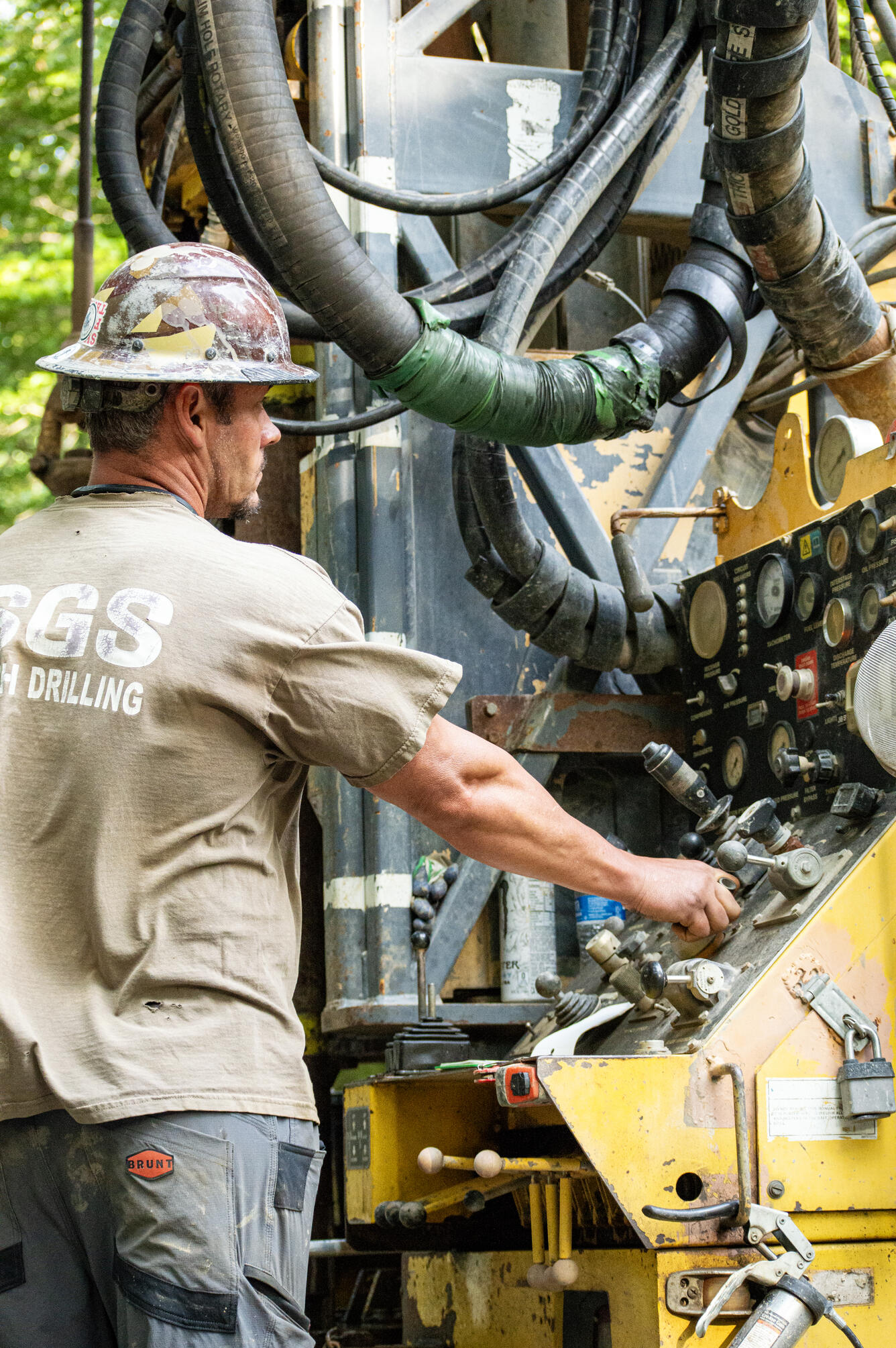
Groundwater and Aquifer Systems
Groundwater assessments use RDP drilling to install multi-depth monitoring wells, collect hydrogeologic data, and characterize aquifer systems. Multi-depth installations place separate measurement points at different levels within a single borehole, so water levels and water quality can be tracked in each water-bearing zone rather than averaged across all of them. This work supports water-availability modeling, groundwater management, and regional monitoring networks spanning multiple States and science centers.
Energy, Minerals, and Geothermal
Energy and mineral resource investigations use RDP drilling to collect geologic cores, evaluate subsurface structure, and assess stratigraphy. Targets include mineral-bearing formations, geothermal prospects, and sedimentary basins. Cores from these holes show the actual sequence, thickness, and composition of rock units at depth, which is the evidence used to refine conceptual geologic models and estimate the extent of a resource.
Land-Surface Change and Subsidence
RDP installs extensometers and related subsurface instruments that measure land subsidence, aquifer compaction, and vertical ground motion. An extensometer anchored at depth records how much the sediment column between that anchor and the land surface compacts or expands over time, which distinguishes permanent compaction from seasonal movement. These records support long-term studies of land-surface change and monitoring of land deformation hazards.
Hazards, Environmental, and Geologic Framework
Studies of geologic hazards, tectonics, structural geology, and environmental conditions use RDP to reach subsurface environments that are otherwise inaccessible. Boreholes yield direct samples of fault zones, stratigraphy, and contaminated intervals, and they accommodate instruments installed at depth. The resulting data go into risk assessments, hazard models, and geologic framework studies describing the structure of a region below the surface.
Interagency and Cooperative Research
Through reimbursable agreements and shared science activities, RDP supports projects with Federal partners, State agencies, Tribal nations, universities, and research consortia that require subsurface data. These arrangements give cooperators access to drilling capability and crews that would be costly to maintain independently, and the resulting data inform planning, resource management, and research beyond the USGS.
RDP maintains drilling crews, geophysical logging tools, and sampling systems that deploy nationwide, with staging and storage hubs in Nevada, Colorado, and West Virginia.