



Water
Water
Increased water use, coupled with long-term drought conditions and a warming climate, have resulted in historic low water levels at saline lakes and associated ecosystems across the Great Basin in California, Nevada, Oregon, and Utah. The Saline Lake Ecosystems IWAA Team works with partners to understand local water conditions and identify science needs and knowledge gaps.
Filter Total Items: 5
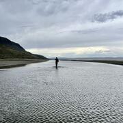
Water Quantity in the Great Basin
The Saline Lake Ecosystems Integrated Water Availability Assessment studied long-term changes in water levels across the Great Basin’s terminal lake systems and how variability in water supply and demand affect the water available to support critical bird habitat.
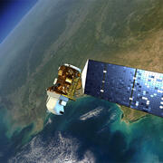
Remote Sensing in the Great Basin
The Saline Lake Ecosystems Integrated Water Availability Assessment is enhancing data collected on the ground with current and historic data collected from far above using satellite remote sensing.
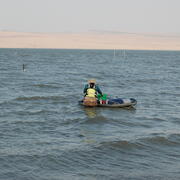
Continuous water quality datasets
View continuous datasets collected by the Saline Lake Ecosystems Integrated Water Availability Assessment Water Quality Team. During the 2024 and 2025 field seasons, the Water Quality Team collected 63 datasets at saline lakes across the Great Basin. Each dataset is a single parameter recorded continuously during the field season - April through October - or until the lake levels became too...

Water Quality in the Great Basin
The USGS, in partnership with multiple other groups, is learning about water-quality conditions across time and space in terminal lakes across the Great Basin. This effort is part of the Saline Lake Ecosystems Integrated Water Availability Assessment.

Waterbird Ecology and Movement in the Terminal Lakes Across the Great Basin
How do changing conditions in the terminal lakes of the Great Basin effect the migratory birds that depend on them? USGS scientists investigate bird movement and habitat use to find out.