
Advancing wildfire science and technology capacity through increased DoW and USGS collaboration within an Innovation Landscapes Network
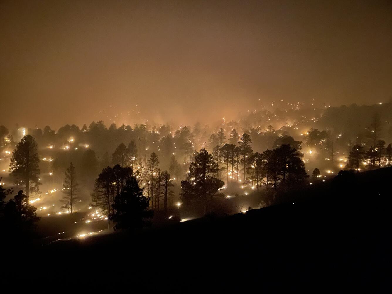
USGS scientists have teamed up with Department of War (DoW) in a suite of studies to innovate and demonstrate wildfire-related management strategies on military installations and DoW lands.
The USGS is collaborating with the DoW on a series of projects funded by the DoW's Environmental Security Technology Certification Program (ESTCP). The USGS is developing and field-testing several new technologies for the DoW that will be used in managing wildfire-resilient military bases and surrounding lands. These strategies include:
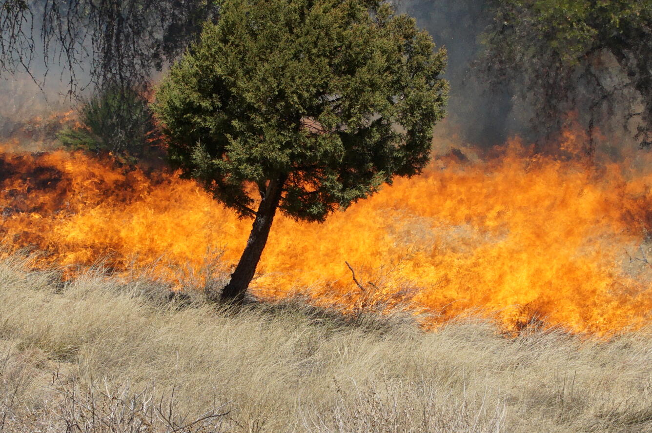
- identifying the factors that make fuel treatment and prescribed fire effective in reducing fire risk on both non-forested and forested lands,
- developing a fire risk map based on fire behavior modeling using different fuel types and conditions, and
- transferring information, data, and new technical tools for the DoW to develop fire management plans as well as plan for fuel treatments that reduce and mitigate fire risk on DoW lands.
The overarching goal of this project is to advance wildland fire science and technology capacity and to demonstrate and employ innovative technologies in military installation management through several interrelated tasks.
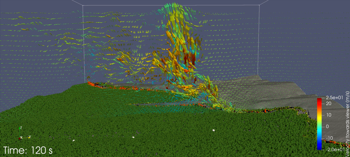
Feasibility of Remote Sensing Data Sets for Evaluation of Next Generation Fire Behavior Models
Aimed at developing a conceptual framework for the data collection, reporting, and curation of fire environment and behavior data sets that can be used to evaluate next-generation fire behavior modeling tools.
Fire Behavior and Effects Model Evaluation and Demonstration across Innovation Landscapes
Aimed at demonstrating the feasibility of utilizing remote sensing data linked with other fire environmental data sets to evaluate next-generation fire models and then use next-generation fire behavior models to assist land management within the Southwestern and Southeastern Innovation Landscapes.
Demonstrating Improved Risk Assessment Approaches on Department of War Landscapes
The overarching goal of this objective is to demonstrate the ability for improved wildfire risk assessment methods in decision-making that explicitly consider DoW mission-critical values on DoW landscapes.
Terrestrial LiDAR Scanning Demonstration and Support across DoW and the Innovation Landscape Network
The overarching goal of this objective is to demonstrate the ability for improved wildfire risk assessment methods in decision-making that explicitly consider DoW mission-critical values on DoW landscapes.

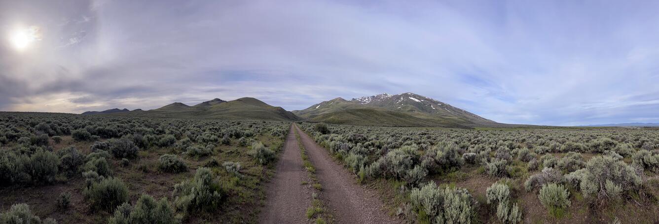
Technical Transfer for DoW installations in the Sagebrush Biome
Defines pervasive natural resource issues in the sagebrush biome and identifies the types of science and tools needed to support the DoW, including Technical Transfer materials to increase awareness, understanding, and application of USGS science, data, and tools.
USGS scientists have teamed up with Department of War (DoW) in a suite of studies to innovate and demonstrate wildfire-related management strategies on military installations and DoW lands.
The USGS is collaborating with the DoW on a series of projects funded by the DoW's Environmental Security Technology Certification Program (ESTCP). The USGS is developing and field-testing several new technologies for the DoW that will be used in managing wildfire-resilient military bases and surrounding lands. These strategies include:
- identifying the factors that make fuel treatment and prescribed fire effective in reducing fire risk on both non-forested and forested lands,
- developing a fire risk map based on fire behavior modeling using different fuel types and conditions, and
- transferring information, data, and new technical tools for the DoW to develop fire management plans as well as plan for fuel treatments that reduce and mitigate fire risk on DoW lands.
The overarching goal of this project is to advance wildland fire science and technology capacity and to demonstrate and employ innovative technologies in military installation management through several interrelated tasks.
Feasibility of Remote Sensing Data Sets for Evaluation of Next Generation Fire Behavior Models
Aimed at developing a conceptual framework for the data collection, reporting, and curation of fire environment and behavior data sets that can be used to evaluate next-generation fire behavior modeling tools.
Fire Behavior and Effects Model Evaluation and Demonstration across Innovation Landscapes
Aimed at demonstrating the feasibility of utilizing remote sensing data linked with other fire environmental data sets to evaluate next-generation fire models and then use next-generation fire behavior models to assist land management within the Southwestern and Southeastern Innovation Landscapes.
Demonstrating Improved Risk Assessment Approaches on Department of War Landscapes
The overarching goal of this objective is to demonstrate the ability for improved wildfire risk assessment methods in decision-making that explicitly consider DoW mission-critical values on DoW landscapes.
Terrestrial LiDAR Scanning Demonstration and Support across DoW and the Innovation Landscape Network
The overarching goal of this objective is to demonstrate the ability for improved wildfire risk assessment methods in decision-making that explicitly consider DoW mission-critical values on DoW landscapes.
Technical Transfer for DoW installations in the Sagebrush Biome
Defines pervasive natural resource issues in the sagebrush biome and identifies the types of science and tools needed to support the DoW, including Technical Transfer materials to increase awareness, understanding, and application of USGS science, data, and tools.