
Concentration data for 12 elements of concern in surface water of three hydrologic basins (Delaware River, Illinois River and Upper Colorado River) – A data visualization tool
September 6, 2023
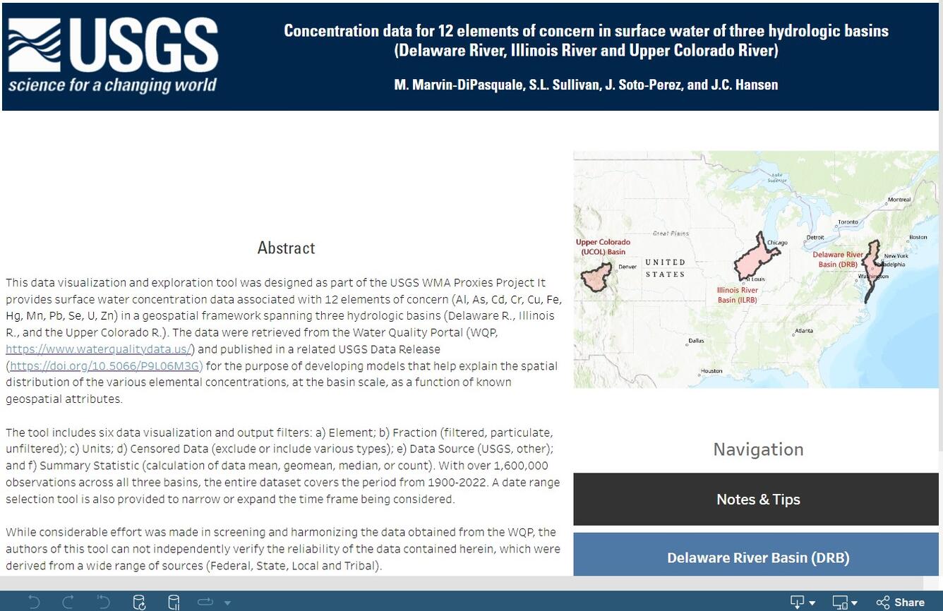
This tool includes six data visualization and output filters: a) Element; b) Fraction (filtered, particulate, unfiltered); c) Units; d) Censored Data (exclude or include various types); e) Data Source (USGS, other); and f) Summary Statistic (calculation of data mean, geomean, median, or count). With over 1,600,000 observations across all three basins, the entire database covers the period from 1900-2022.
Media
Sources/Usage: Public Domain. View Media Details
Related
Below are related Science objects.

Proxies Project
The Proxies Project is a series of studies to improve our understanding of water contaminants and water quality hazards. These studies develop models and technical approaches for estimating concentrations and assessing risk associated with: - harmful algal blooms (HABs) - per- and polyfluoroalkyl substances (PFAS) - 12 elements of concern (EoC)
Related
Below are related Science objects.
Proxies Project
The Proxies Project is a series of studies to improve our understanding of water contaminants and water quality hazards. These studies develop models and technical approaches for estimating concentrations and assessing risk associated with: - harmful algal blooms (HABs) - per- and polyfluoroalkyl substances (PFAS) - 12 elements of concern (EoC)