
Land Product Characterization System
March 16, 2023
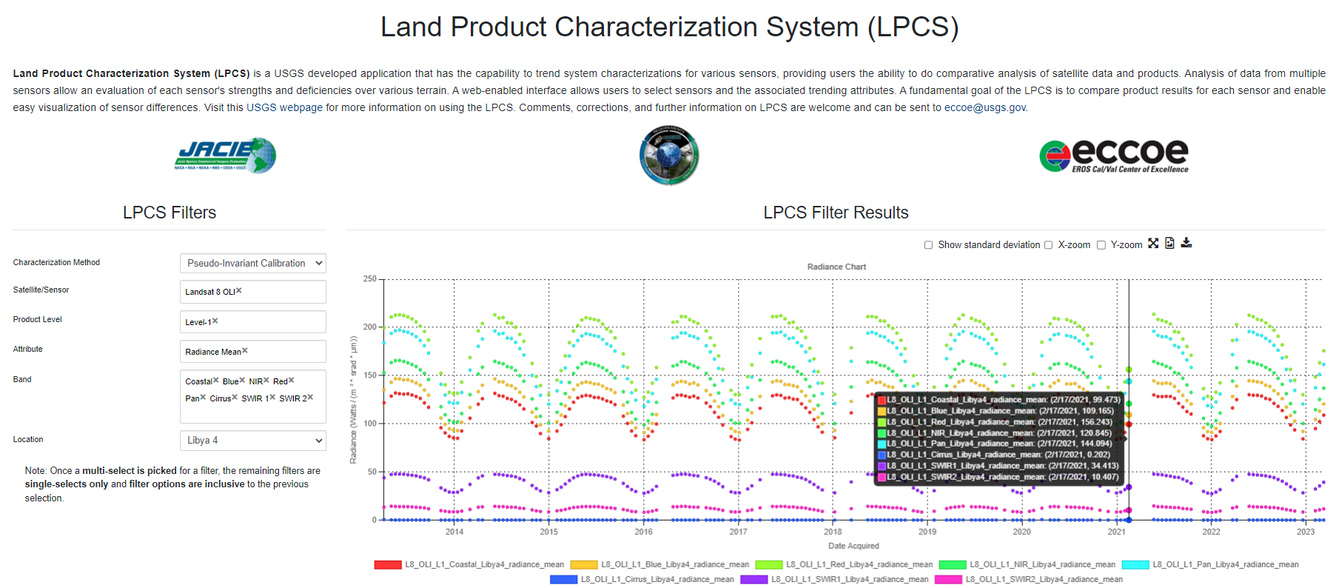
The Land Product Characterization System (LPCS) is a USGS developed application that has the capability to trend system characterizations for various sensors, providing users the ability to do comparative analysis of satellite data and products. Analysis of data from multiple sensors allow an evaluation of each sensor's strengths and deficiencies over various terrain. A web-enabled interface allows users to select sensors and the associated trending attributes. A fundamental goal of the LPCS is to compare product results for each sensor and enable easy visualization of sensor differences.
LPCS is developed and is managed by the USGS Requirements, Capabilities and Analysis for Earth Observation (RCA-EO) team.
Sources/Usage: Public Domain. View Media Details