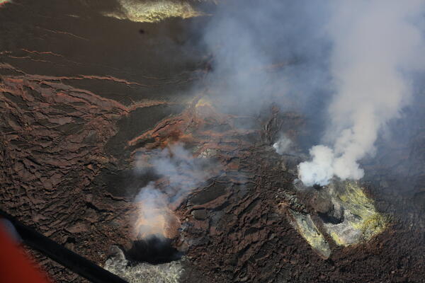
February 4, 2026 — Kīlauea monitoring overflight of the summit
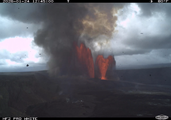
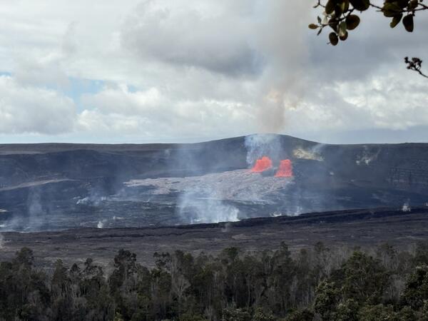
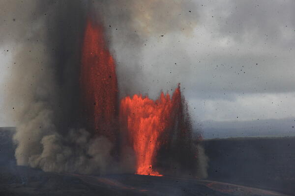
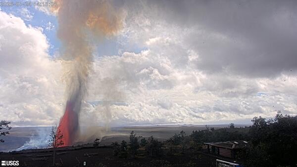
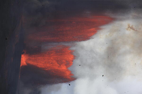
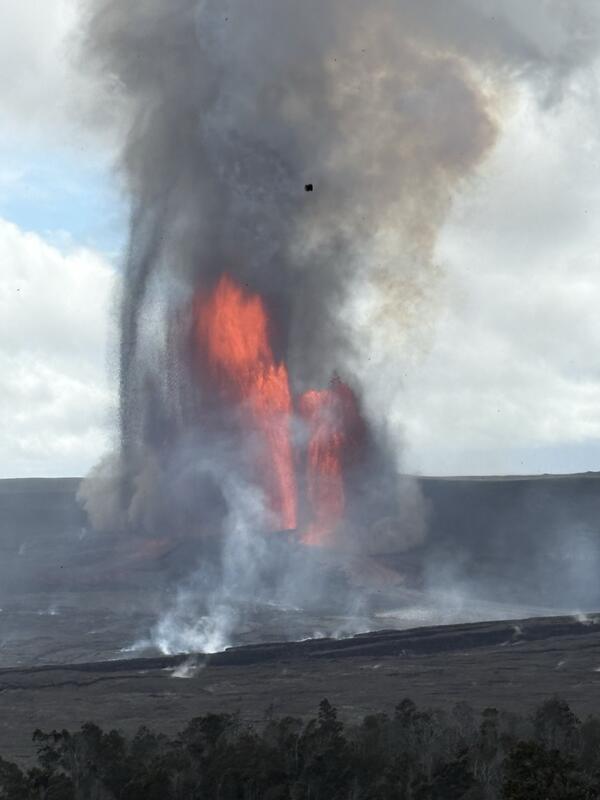
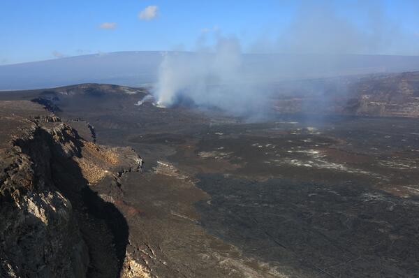
February 4, 2026 — Kīlauea monitoring overflight of the summitUSGS Hawaiian Volcano Observatory staff participated in a monitoring overflight of Kīlauea summit caldera, Kaluapele, the morning of February 4, 2026, to investigate and collect samples of the episode 41 lava flows that were emplaced on January 24, 2026. These lava flows covered most of the crater floor during the lava fountaining episode. USGS photo by D.