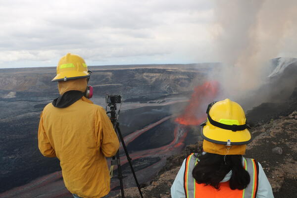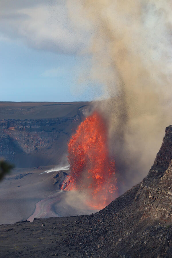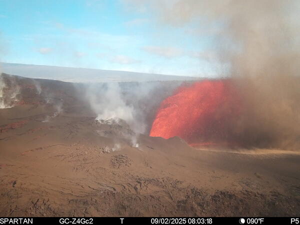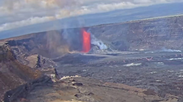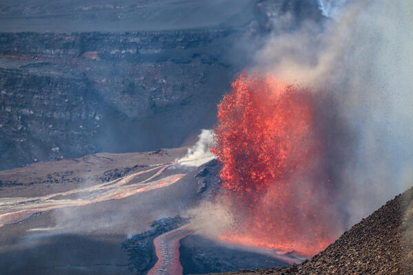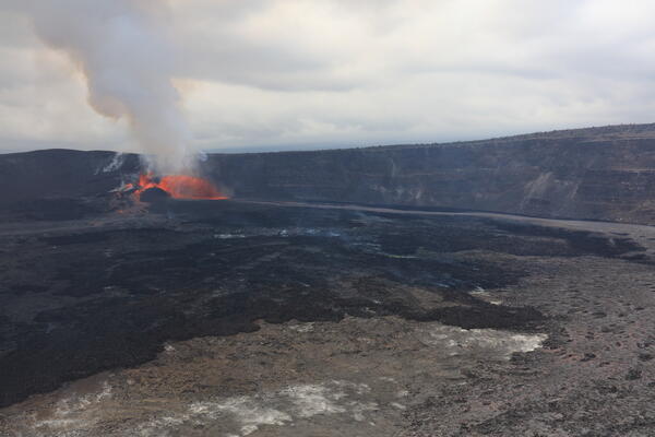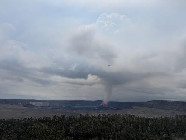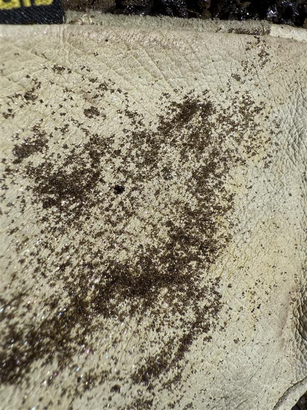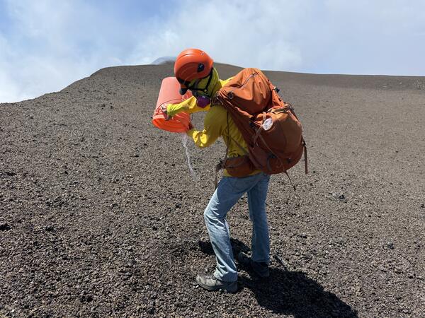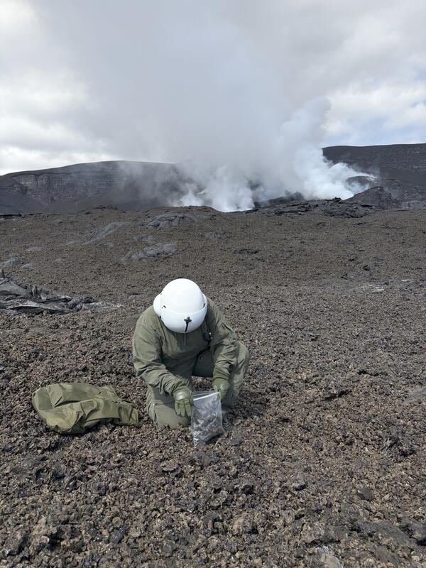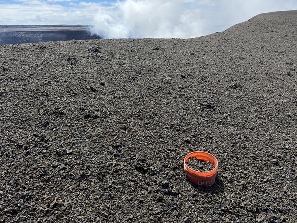
September 3, 2025 — Kīlauea summit tephra collection bucket
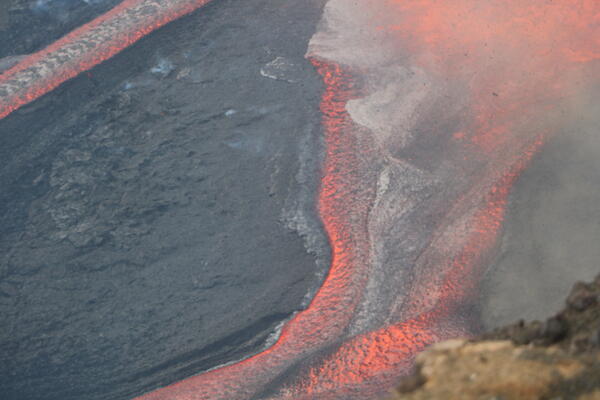
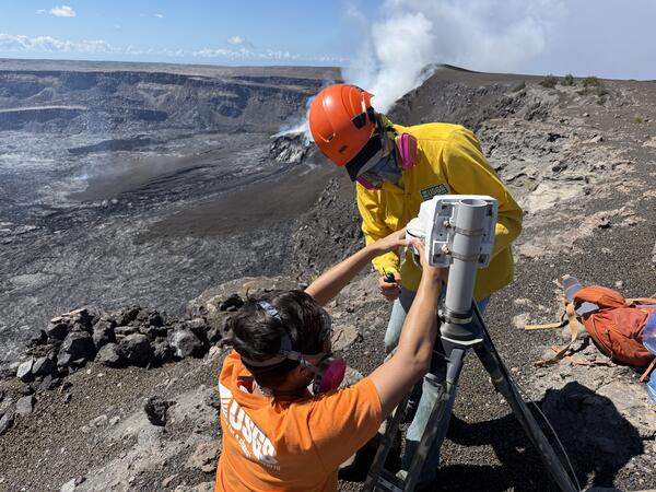
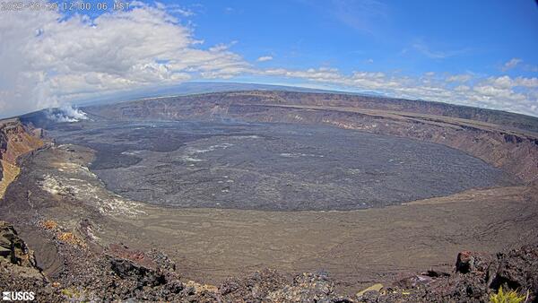
September 3, 2025 — Kīlauea summit tephra collection bucketTephra is the material erupted that travels through the air before falling on the ground. During the ongoing eruption of Kīlauea, tephra from each episode of lava fountaining tells us about the magma storage conditions leading to the eruption.