
Photo and Video Chronology - Kīlauea - September 25, 2019
By Kīlauea
September 25, 2019
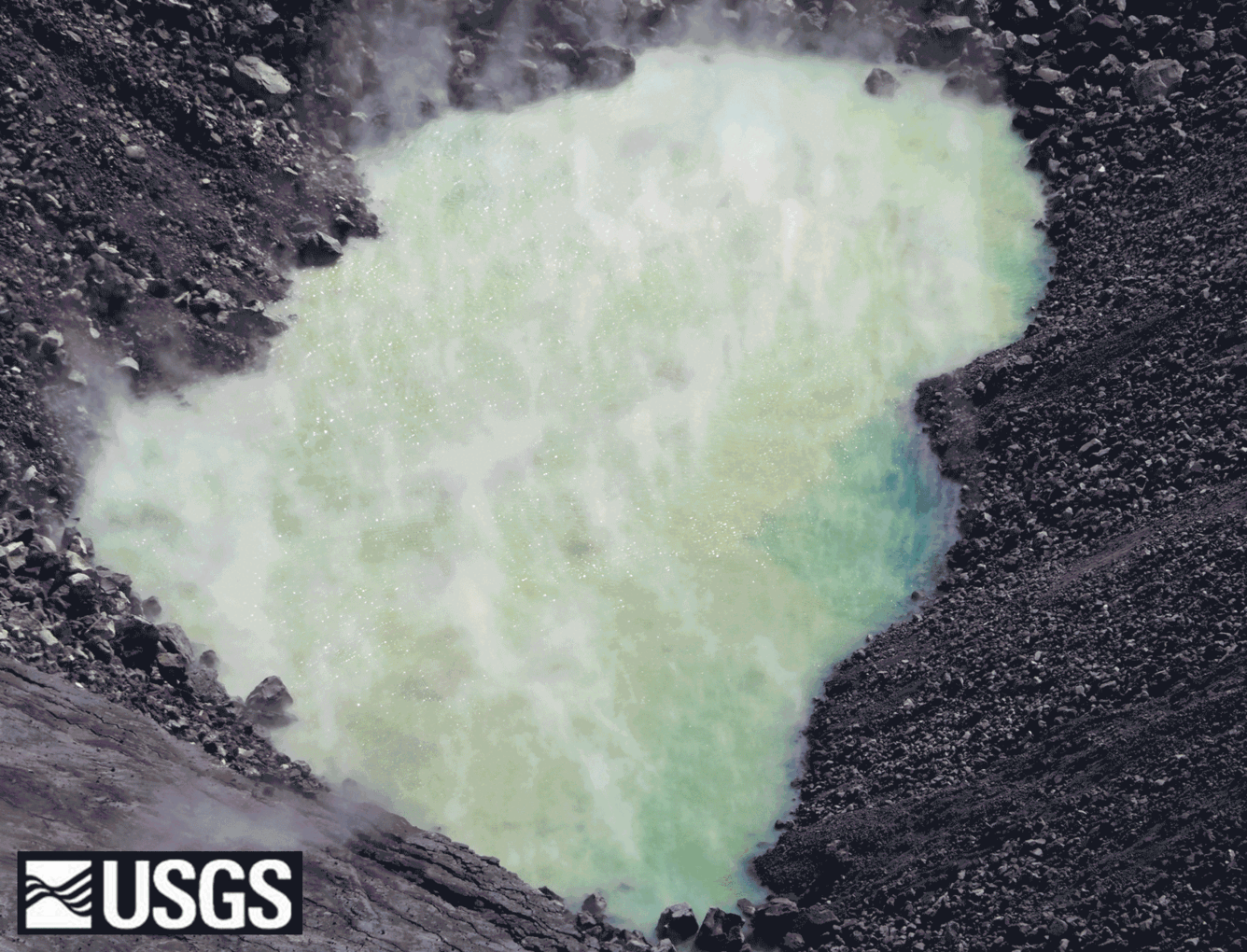
Halema‘uma‘u water pond on September 25—two months and still rising
Media
Sources/Usage: Public Domain. View Media Details
Media

Sources/Usage: Public Domain. View Media Details
Media

Sources/Usage: Public Domain. View Media Details