
Landsat Update January 2021
Landsat Updates are prepared periodically and distributed electronically to provide information about Landsat activities and related topics of interest.
Landsat Collection 2
Landsat Collection 2 Level-1 and Level-2 scene-based products are available for download from EarthExplorer. Landsat Collection 2 introduces improvements in data processing, algorithm development, data access, and distribution capabilities. New for Collection 2 are global Level-2 products for surface reflectance and surface temperature starting with the Thematic Mapper sensor from 1982 to present.

Landsat Collections ensures that all Landsat Level-1 data are consistently calibrated and processed and retain traceability of data quality provenance.
It’s that pixel-by-pixel certainty that makes higher-level Landsat-based science a reality, according to Dr. Christopher Crawford, the USGS Landsat Project Scientist at EROS.
“Ultimately, what a collections strategy does is to enable time-series analysis,” Crawford said. “It’s all about where you geolocate the pixels on the Earth’s surface. Better geometric alignment between the different instruments over time allows you to more reliably detect land surface change, and it reduces the uncertainty in what’s driving variability and change.”
Visit the Landsat Collection 2 webpage to review summaries of the characteristics of Landsat Collection 2 Level-1 and Level-2 products.
Landsat Collection 2 Analysis Ready Data (ARD) and Level-3 Science Products (Burned Area, Dynamic Surface Water Extent and Fractional Snow Covered Area) are in development for availability in 2021. Future announcements on the development and anticipated public availability of these products will be made later in the year.
EROS Acquires Mission Operation Center
Hardware arrival for the backup Landsat Multi-Satellite Operations Center (bLMOC) started this past November. “Network connectivity between Maryland and EROS now enables high-speed replication across the two mission operation centers,” Sauer said. “In addition, the bMOC will be closely connected to the ground station at EROS—one of Landsat’s five primary satellite ground stations. And, because the Landsat Mission Operations Project is managed from EROS, hosting emergency backup operations at the Center makes sense,” Sauer said.
Having a bLMOC means staff at the center, either on site or remotely, can now handle emergency operations, send commands, or receive telemetry data. The back-up also ensures readiness and facilitate maintenance when required. The primary LMOC is at the NASA Goddard Space Flight Center in Greenbelt, Maryland. Goddard’s facilities were recently upgraded in preparation for the launch of Landsat 9.

Landsat Missions Status
Landsat 9
Landsat 9 has a launch-readiness date of September 2021 and will launch from Vandenberg Air Force Base in California. NASA develops the space and launch segments, and the USGS develops the ground segment and operates the mission after launch. Visit the Landsat 9 Mission web page to learn more.
The original date for the Landsat 9 launch of December 2020 slipped. What does a delay in launch mean for science? A few Landsat Science Team members have shared their insights; here are their thoughts on the mission status.
Landsat 7 and Landsat 8
The Landsat 7 and Landsat 8 satellites continue to perform nominally and collect about 1,200 new images per day. Additionally, the Landsat Global Archive Consolidation effort continues to add international scenes to the archive. To date, the USGS Landsat archive at EROS holds over 9 million scenes! Visit this Landsat Data Access page to discover where to download Landsat data, including the new Collection 2 products.
USGS Landsat Archive Reaches 9 Million Scenes
On September 25, 2020, the Landsat archive surpassed the 9 millionth scene mark! These scenes are available from the USGS Landsat inventory for download. Data spanning nearly 50 years and Earth observations spanning the entirety of the planet contribute to the depth and value of the Landsat archive. Data from the Landsat archive are downloadable at no cost to users since 2008.
Landsat 9 Road to Launch StoryMap

Data acquired by the Landsat series of satellites are integral to land management for both government and the private sector. Landsat data provides scientists and decision makers critical information about the status of the world around us. For more information on what it takes to develop a Landsat satellite, check out the Landsat 9 Road to Launch StoryMap. This illustrated and interactive digital story describes what it takes to plan, build and launch the latest Landsat satellite and how it will extend the USGS’s unbroken record of our planet to over half a century.
For additional information on the status of Landsat 9 launch preparations visit the Landsat 9 Mission page or Landsat Mission Headlines.
LandsatLook Redesign
The LandsatLook viewer is getting a complete redesign to allow for direct Landsat Collection 2 Level-2 surface reflectance access. This updated viewer has many new features like AOI, band subsetting and includes the ability to create time lapse animated gifs. Collection 1 and Sentinel 2 remain available from their respective viewers. LandsatLook Viewer.
Upcoming Meetings and User Conferences
American Association of Geographers (AAG) April 7-11, 2021, Virtual
Environmental Systems Research Institute (ESRI) International User Conference (UC) July 12-16, 2021, San Diego, CA
International Geoscience and Remote Sensing Symposium (IGARSS) July 11-16, 2021, Brussels, Belgium
Ecological Society of America (ESA) August 1-6, 2021, Long Beach, CA
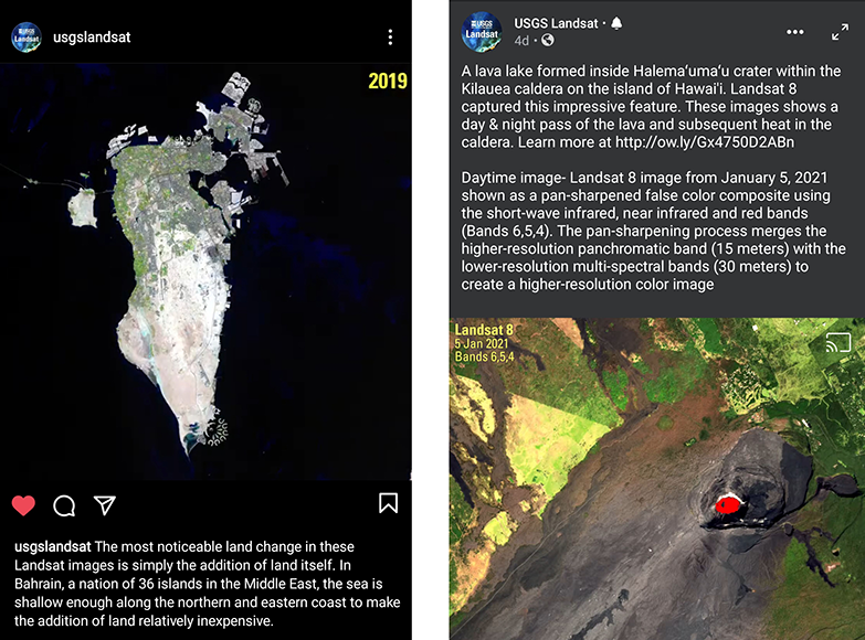
Recent Popular Social Media Posts
Landsat in the News
How the future of satellites might affect life on Earth
Managing Earth’s Resources from Space
Researchers Explore COVID-19’s Environmental Impact
The Landsat Legacy Continues
USGS Supports the 2020 National Space Policy
Landsat Podcasts
Eyes on Earth Episode 31 – Landsat 7 Operations
Eyes on Earth Episode 33 – Global Land Change
Eyes on Earth Episode 38 – Time Series Analysis with Landsat
Eyes on Earth Episode 40 – Landsat Collection 2
Eyes on Earth is a podcast on remote sensing, Earth observation, land change, and science brought to you by the USGS Earth Resources Observation and Science (EROS) Center.
Connect/Interact/Contact
USGS EROS Customer Services:
Email: custserv@usgs.gov
Phone: 1-800-252-4547