
NEW Mapping Challenge: City / Town Hall Structures in OH and WV
We've launched a new Mapping Challenge! This challenge will focus on City / Town Hall structures in Ohio and West Virginia.
Overview
Our volunteers certainly enjoy collecting city / town halls, so why stop now? City / town halls are now being added to upcoming revisions of US Topo maps. Because this is a relatively new feature to TNMCorps, with minimal seed data, there is a lot of work to be done to get the data ready ahead of map revisions. We know our amazing volunteers are up to the challenge! Here’s a new challenge for city / town halls, this time in Ohio and West Virginia.
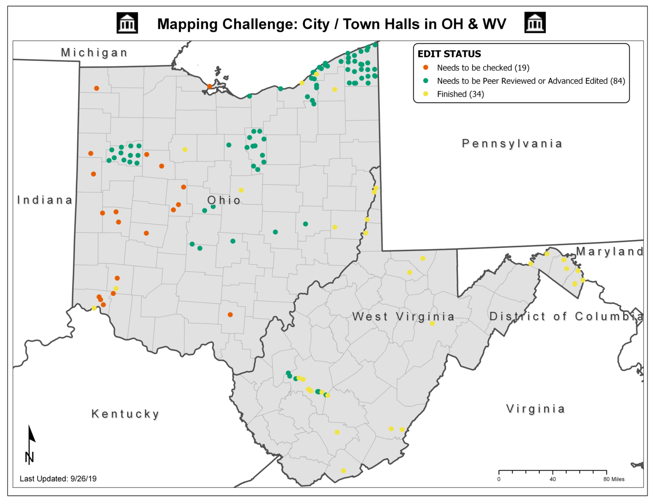
As you can see from this map, there are many points still to be collected. Like our previous city/town hall challenges, most of the features for this challenge will be collected from scratch.
Tips and tricks for this challenge:
Incorporated Places
- Most of the city / town hall structures will fall within incorporated places. See the Cities vs. Towns vs. Villages article in our September 2019 newsletter for more on incorporated places.
- Local government in Ohio consists of cities, villages and townships; cities and villages are incorporated while townships are not.
- Incorporated places in West Virginia consist primarily of cities, towns, and villages. West Virginia does not have townships.
- There may be multiple city / town hall structures in each county.
- A good starting place is to search Wikipedia for a list of municipalities or incorporated places in each county.
- Remember that these Wikipedia lists are only a starting point and are not an authoritative source.
- Therefore, as you work through the list to map each entry, be sure to confirm each feature with an authoritative source such as the city’s website.
- See the Ensuring Data Completeness article in our July 2019 newsletter for more on assembling a checklist of structures to research.
- State websites are another good starting place.
Proper Point Placement
- Our November 2018 newsletter includes an article on aerial interpretation for City / Town hall structures. This article walks readers through how to find the correct building to place a point on when examining aerial photography.
Interested in collecting city/town halls elsewhere?
Remember that we’re collecting city/town halls nationally, so feel free to research these features throughout the entire U.S. Other priority states include (in order of priority): MI, NM, UT, WA, OR, ID, MT, and ND. However, note that only city/town halls for Ohio and West Virginia will count towards this challenge.
What about the other mapping challenges? Are they still open?
Our mapping challenge for Colorado is closed, but our challenge for schools in Wayne County, MI is still open as of this post. Feel free to participate in either challenge, and check back frequently for updates on each.
Questions?
Reach out to us at nationalmapcorps@usgs.gov with questions. Thanks for all that you do, and Happy Mapping!