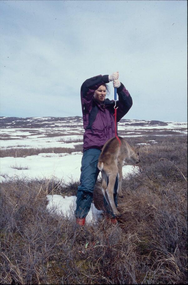
Return to Ecosystems >> Wildlife Tracking Data Collection
USGS Alaska Science Center scientists collect data from wildlife tracking devices to: determine locations of animals throughout their annual cycles, understand patterns of habitat use, quantify time spent on various behaviors, and identify geographic areas repeatedly used by wildlife that may indicate sites of importance to species and populations. Tracking data from other wildlife species can be found at: https://doi.org/10.5066/P9VYSWEH
Data Packages and Tracking Maps
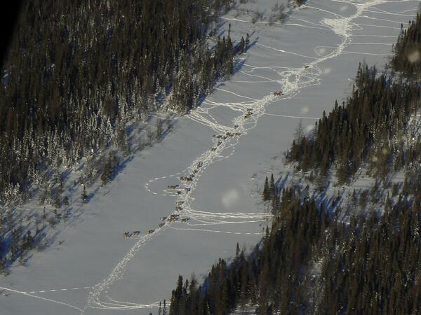
Fortymile Caribou Herd
Map
Suggested Citation
Joly, K., and McCabe, T.R., 2024, GPS Tracking Data for Caribou (Rangifer tarandus granti) from the Fortymile Herd, Alaska, 1998-1999: U.S. Geological Survey data release, https://doi.org/10.5066/P13E7X8F.
Nelchina Caribou Herd
Map
Suggested Citation
Joly, K., Dale, B.W., Collins, W.B., and Adams, L.G., 2025, GPS Tracking Data for Caribou (Rangifer tarandus granti) from the Nelchina Herd, Alaska, 1999-2002: U.S. Geological Survey data release, https://doi.org/10.5066/P1365EPK.
Denali Caribou Herd
Map
Suggested Citation
Adams, L.G., Roffler, G.H., Gustine, D.D., Cambier, T., Meier, T.J., Johnson, H.E., 2025, GPS tracking data for caribou (Rangifer tarandus granti) from the Denali Herd, Alaska, 2010-2018: U.S. Geological Survey data release, https://doi.org/10.5066/P1TSDZVK.