
Seagrass Vulnerability to Environmental Conditions Under Changing Temperature Regimes Active
Seagrasses are among the most productive ecosystems on the planet. Water quality degradation and direct human disturbance have caused loss of nearly a third of the seagrass habitat worldwide. These threats are exacerbated by stresses associated with a changing global climate. Predicting how seagrass distribution, abundance, and species composition will change in response to increased temperature regimes will help resource managers develop effective strategies for seagrass conservation.
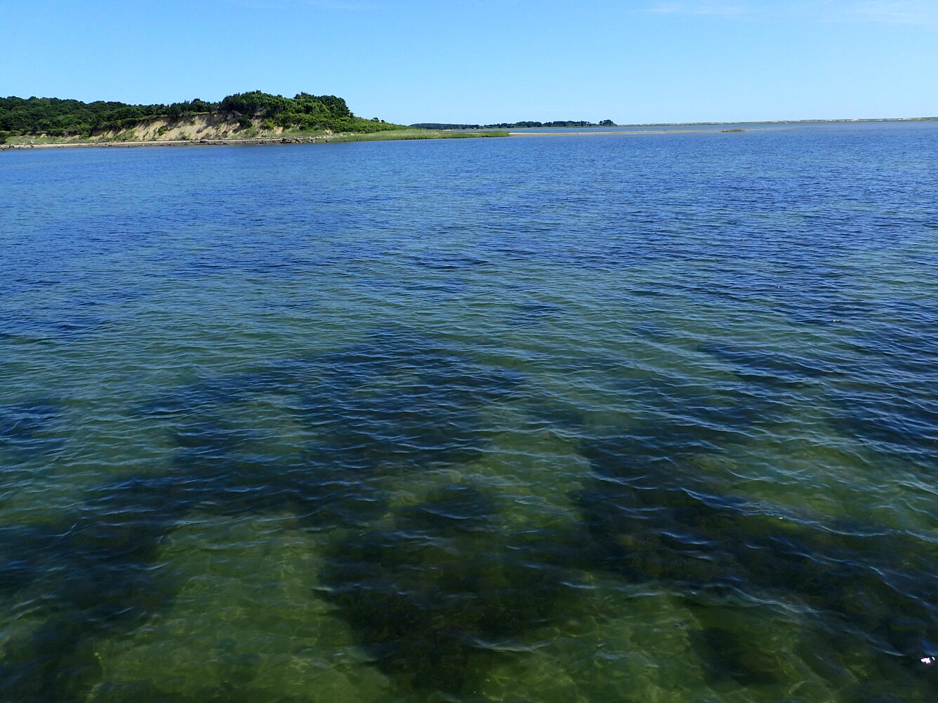
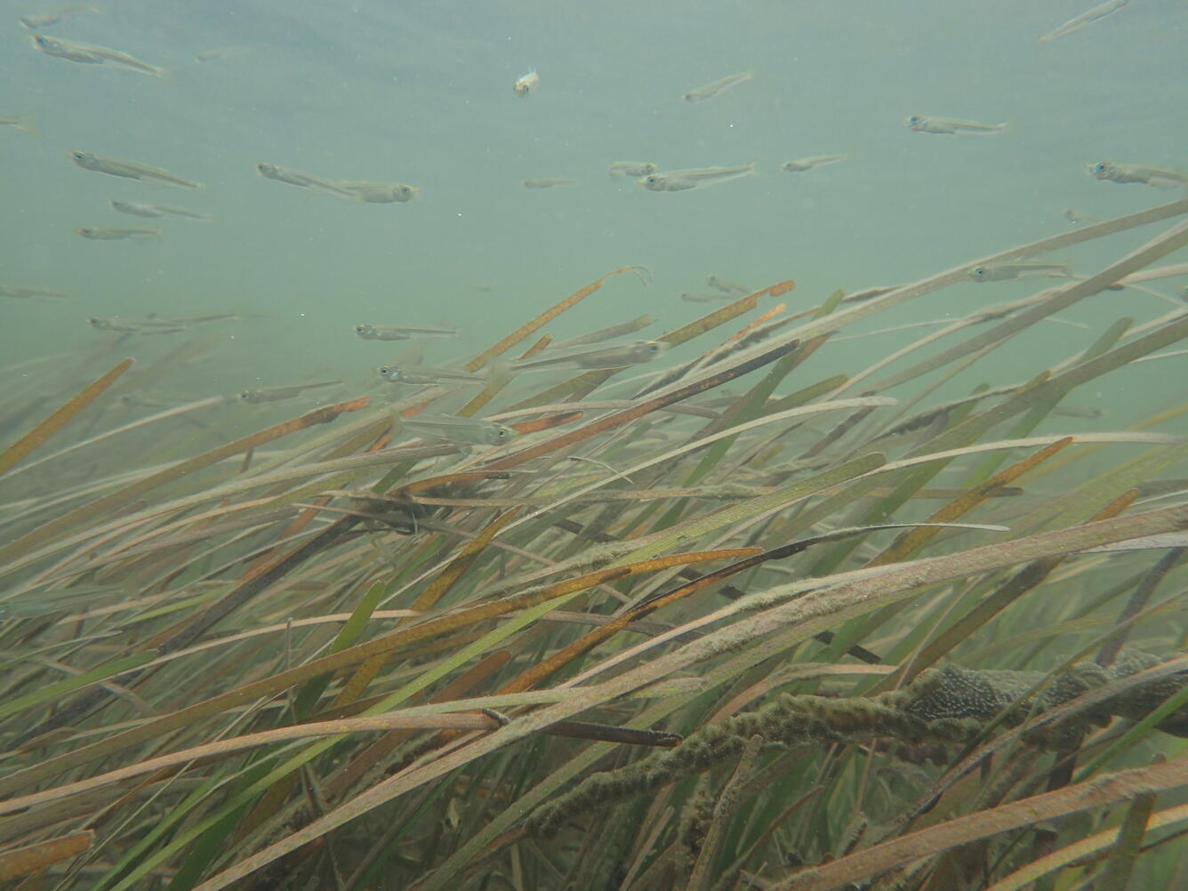
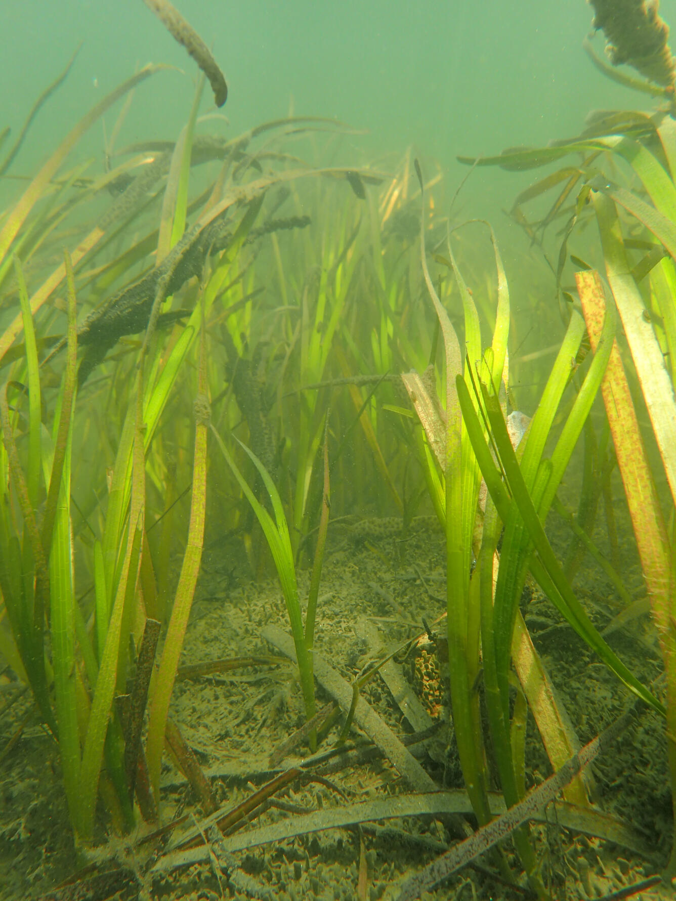
The Challenge: Extensive seagrass meadows are located within the boundaries of three northeastern national park units: Cape Cod National Seashore, Fire Island National Seashore, and Assateague Island National Seashore. Water quality and seagrass monitoring at these parks suggests that resilience of the foundation seagrass species, eelgrass (Zostera marina), decreases at higher temperatures, and that shifts to communities dominated by widgeon grass (Ruppia maritima) may occur. Widgeon grass is characterized by lower biomass overall than eelgrass, with much less extensive roots and rhizomes. Therefore, replacement of eelgrass by widgeon grass may result in reduced ecosystem services such as primary production and sediment stabilization.
The Science: Long-term seagrass and water quality data have been collected through the Vital Signs Monitoring Program of the NPS Northeast Coastal and Barrier Network. These data will be integrated in a predictive modeling framework to estimate future seagrass distribution and condition under increasing temperature regimes. This will be accomplished through specific tasks: (1) combine water quality monitoring data and satellite imagery to generate the spatial distribution of environmental drivers (temperature, sediment texture, bathymetry, and variables associated with light transmission through the water column); (2) integrate seagrass monitoring data collected at multiple scales to develop the spatial distribution of eelgrass and widgeon grass biomass; (3) generate empirical relationships between seagrass biomass and environmental drivers; and (4) use empirical and mechanistic relationships to predict spatial seagrass distribution in response to the direct and interactive effects of environmental drivers at increased temperature regimes.
The Future: This project will produce digital maps of predicted eelgrass and widgeon grass biomass at each park under different temperature regimes. This information will allow natural resource managers to locate seagrass habitat most sensitive to climate factors, and conversely, areas where management efforts to protect and conserve seagrass would be most effective.

Seagrasses are among the most productive ecosystems on the planet. Water quality degradation and direct human disturbance have caused loss of nearly a third of the seagrass habitat worldwide. These threats are exacerbated by stresses associated with a changing global climate. Predicting how seagrass distribution, abundance, and species composition will change in response to increased temperature regimes will help resource managers develop effective strategies for seagrass conservation.
The Challenge: Extensive seagrass meadows are located within the boundaries of three northeastern national park units: Cape Cod National Seashore, Fire Island National Seashore, and Assateague Island National Seashore. Water quality and seagrass monitoring at these parks suggests that resilience of the foundation seagrass species, eelgrass (Zostera marina), decreases at higher temperatures, and that shifts to communities dominated by widgeon grass (Ruppia maritima) may occur. Widgeon grass is characterized by lower biomass overall than eelgrass, with much less extensive roots and rhizomes. Therefore, replacement of eelgrass by widgeon grass may result in reduced ecosystem services such as primary production and sediment stabilization.
The Science: Long-term seagrass and water quality data have been collected through the Vital Signs Monitoring Program of the NPS Northeast Coastal and Barrier Network. These data will be integrated in a predictive modeling framework to estimate future seagrass distribution and condition under increasing temperature regimes. This will be accomplished through specific tasks: (1) combine water quality monitoring data and satellite imagery to generate the spatial distribution of environmental drivers (temperature, sediment texture, bathymetry, and variables associated with light transmission through the water column); (2) integrate seagrass monitoring data collected at multiple scales to develop the spatial distribution of eelgrass and widgeon grass biomass; (3) generate empirical relationships between seagrass biomass and environmental drivers; and (4) use empirical and mechanistic relationships to predict spatial seagrass distribution in response to the direct and interactive effects of environmental drivers at increased temperature regimes.
The Future: This project will produce digital maps of predicted eelgrass and widgeon grass biomass at each park under different temperature regimes. This information will allow natural resource managers to locate seagrass habitat most sensitive to climate factors, and conversely, areas where management efforts to protect and conserve seagrass would be most effective.