Collecting soil samples in a cheatgrass-invaded landscape
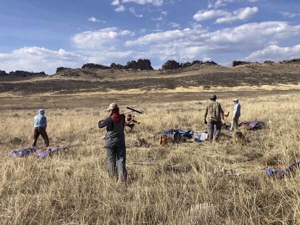
Collecting soil samples in a cheatgrass-invaded landscapeField technicians collect soil samples and monitor plants in an invasive grass dominated sagebrush steppe ecosystem in Colorado. The team measured carbon levels at two soil depths at undisturbed sites, sites that have been burned and invaded, areas that are unburned but invaded, and sites that were burned but not invaded.