In The Flow - USGS MD-DE-DC Water Science Center Newsletter - Spring 2023
The second edition of "In The Flow," the newsletter of the Maryland, Delaware, Washington, D.C. Water Science Center focused on water science issues and solutions in our region.
Rapid Storm Data Provides More Information For Emergency Managers and Public
When a major storm is forecasted to affect the Delmarva region, up-to-date information is vital for storm response.
That’s when USGS crews spring into action, setting up rapid deployment gages that provide additional surge, wave, and tide hydrodynamics (SWaTH) data that augments our existing streamgage network.
See the data in the USGS Flood Event Viewer.
Seeking Innovative Solutions To Remediate Contaminated Sites
Using cutting-edge science, the Fate and Bioremediation Team studies the transportation of contaminants throughout the environment, and looks for new methods of remediation and restoration, primarily through natural microbial processes.
Vote For Maryland’s Gage In #GageGreatness
Gage Greatness is a national gage bracket tournament hosted by the USGS Water Mission Area on Twitter. Maryland is competing against Water Science Centers from New England, South Atlantic, Upper Midwest, Central Midwest, Kansas, Idaho, and California.
Follow our Twitter @USGS_MD_DE_DC for updates and vote for Maryland’s gage, Potomac River at Shepherdstown, WV (01618000), in Round 2 and beyond! Share with family, friends, coworkers, students, professors, and all who may be interested.
May the greatest gage win!
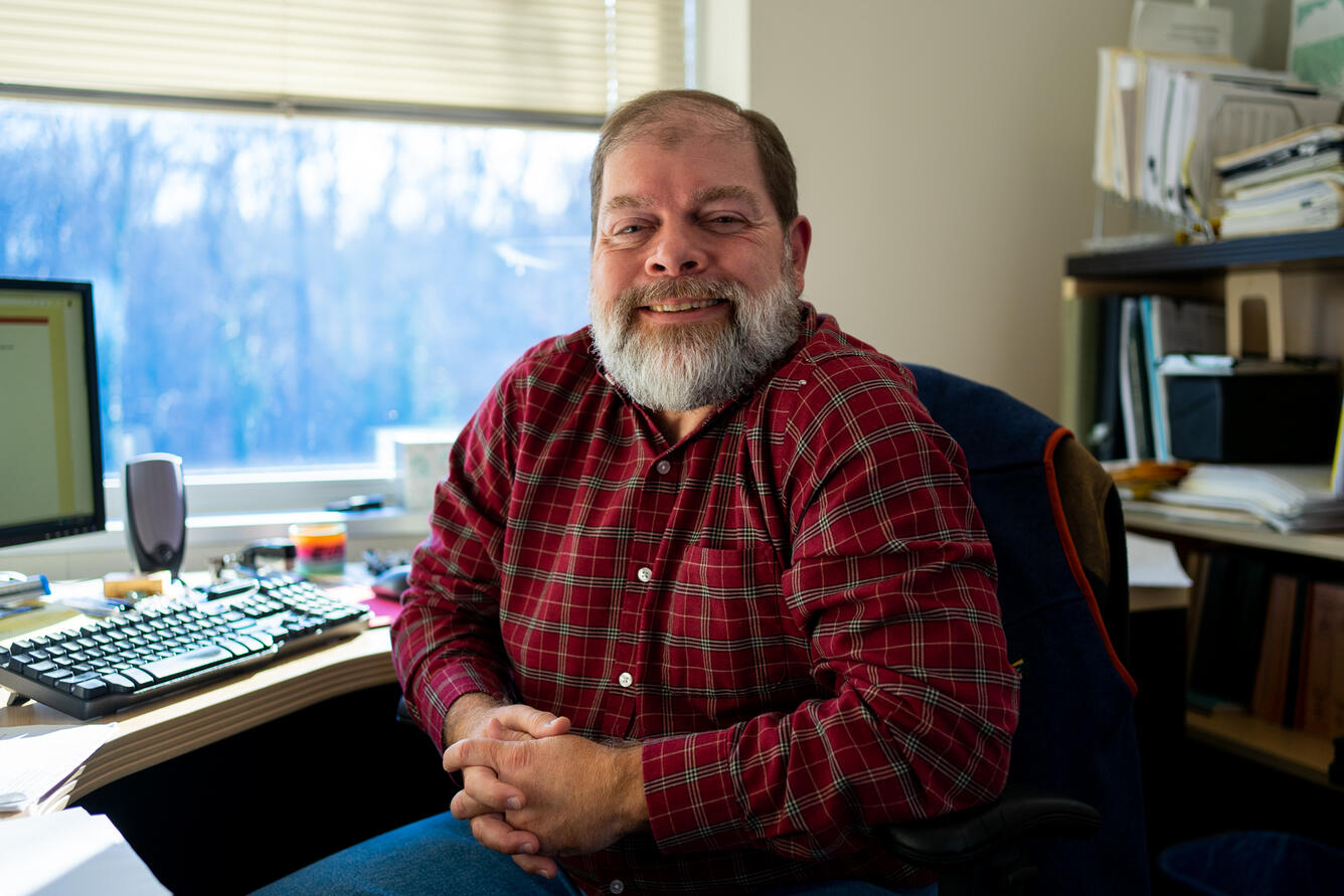
Jon Dillow Retires After 30 Years With The USGS MD-DE-DC Center
We wish to make the bittersweet announcement that Jonathan Dillow has retired.
Jon started his USGS career in 1992 as a hydraulic engineer, working on numerous surface water and groundwater studies before becoming the supervisor of the Surface Water Section and the Center’s Data Chief.
Jon most recently served as the Center’s Surface Water Specialist. In addition to his technical expertise, he showed exceptional supervisory and mentoring leadership in his roles as supervisor, associate director, and acting Deputy Director.
Some of Jon's many scientific achievements included completing statistical hydrology studies for Maryland and Delaware, groundwater/surface water/water quality of the Maryland coastal bays, synoptic sampling and groundwater optimization modeling, and stream restoration studies at Minebank Run.
Jon has also worked on all aspects of the stream gage network, including construction, field trips, flood measurements, records computation, review and approval of data, flagging high water marks, and indirect computation and reviews.
In addition to his scientific work, Jon was an invaluable coach and mentor to other supervisors and employees in the Center. He helped numerous employees find successful paths for their careers and served as a mentor to new supervisors through the Office of Employee Development.
In these various roles, Jon represented the USGS to many partners in Maryland, Delaware, and the District of Columbia, as well as to numerous Federal colleagues, many of whom sought out his advice on surface water and groundwater problems and challenges.
His service as an Associate Director in the Maryland-Delaware-D.C. Water Science Center was instrumental in significant improvements in the Center’s workforce plan and work processes. His leadership and mentoring left a positive mark on the USGS that will last for many years to come.
We wish Jon the very best in his next adventure!
Pristine lakes, remote lighthouses, and more on Season 2 of USGS On The Road
What’s day-to-day like for our field crew? Our web-series USGS On The Road highlights the work we do to advance water science. WATCH SEASON 2
MD-DE-DC Seminar Series Resumes
Our monthly MD-DE-DC seminar series is back from hiatus. Our first talk, “Measuring Stream Restoration Success,” was presented by Katrina Napora of the Florence Bascom Geoscience Center. Visit our seminar series webpage to learn more and sign up to receive updates about future talks.
Stay Up-To-Date On Our Latest Science
Get Our News
These items are in the RSS feed format (Really Simple Syndication) based on categories such as topics, locations, and more. You can install and RSS reader browser extension, software, or use a third-party service to receive immediate news updates depending on the feed that you have added. If you click the feed links below, they may look strange because they are simply XML code. An RSS reader can easily read this code and push out a notification to you when something new is posted to our site.


