
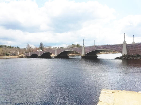
USGS Develops Water-Quality Monitoring Strategy for Mount Hope Bay and the Taunton River Estuary in Massachusetts
The U.S. Geological Survey (USGS), in cooperation with the Watershed Planning Program within the Massachusetts Department of Environmental Protection (MassDEP), have published a water-quality monitoring strategy (WQMS) for Mount Hope Bay and the Taunton River Estuary in southeastern Massachusetts.
The published report provides an overview of the environmental settings of Mount Hope Bay and the Taunton River Estuary, reviews historical and existing monitoring efforts, and identifies locations where dissolved oxygen and nutrient-related water-quality conditions could be monitored before and after upgrades are made to wastewater treatment facilities.
“These future monitoring efforts would not only benefit the local environment but could also be used to support the development of a statewide monitoring approach for estuaries across Massachusetts,” said lead study author USGS Scientist Emeritus David Armstrong.
Monitoring Strategy Supports State Goals
The WQMS provides science-based recommendations for future monitoring approaches in Mount Hope Bay and the Taunton River Estuary that are designed to support several MassDEP water resource management goals under the Clean Water Act.
One of these objectives is monitoring coastal and marine dissolved oxygen in estuaries. The strategy identifies locations where water-quality data could be collected to best characterize dissolved oxygen variability in Mount Hope Bay and the Taunton River Estuary.
Another MassDEP goal is to monitor portions of Mount Hope Bay and the Taunton River Estuary that share similar characteristics, defined as waterbody assessment units, to assess whether these segments are meeting applicable water-quality criteria and attaining designated uses as established in the Massachusetts Surface Water Quality Standards (314 Code of Massachusetts Regulations [CMR] 4.00). The WQMS identifies monitoring station locations and constituents that could be used to evaluate water-quality conditions in the assessment units.
Additionally, the WQMS supports MassDEP’s goals of defining the freshwater and saltwater boundaries and the head-of-tide (the furthest inland point where a river is affected by tides) in the Taunton River Estuary. Because saltwater is denser than freshwater, saltwater remains at the bottom of the estuary and freshwater flows on top of it, forming a salt wedge. The WQMS pinpoints a reach of the Taunton River where salinity data could be collected to shed light on the location and movement of the salt front, which is where salinity begins to encroach on freshwater. Furthermore, the WQMS identifies a reach of the Taunton River where water-level data could be collected to reveal the location and movement of the head-of-tide.
Lastly, the WQMS identifies USGS streamgages where water-quality monitoring and streamflow data could be used to calculate nutrient loading into Mount Hope Bay and the Taunton River Estuary. The strategy also determines what data would be needed to build hydrodynamic and water-quality models for both waterbodies.
In addition to the WQMS supporting MassDEP’s plan for monitoring Mount Hope Bay and the Taunton River Estuary, it can be used as a baseline approach to inform the monitoring of other estuaries and coastal areas in the northeastern United States with comparable water-quality issues.

Related

Development of a Water Quality Monitoring Strategy for Mount Hope Bay and the Taunton River Estuary, Massachusetts
Related