



The New England Water Science Center applies landscape science to understand water-resource challenges at the scales where decisions are made—from a local stream or aquifer to an entire watershed, river basin, or region.
We combine long-term monitoring, field studies, laboratory analysis, mapping, modeling, and data delivery. By linking hydrologic, water-quality, ecological, climate, and land-use information, we help partners understand current conditions, identify trends, and prepare for future change.
Gulf of Maine Projects
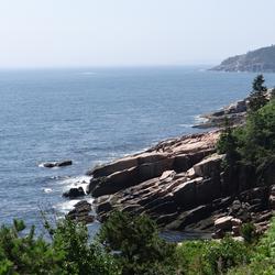
Gulf of Maine
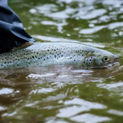
Thermal Imaging to Detect Cold-Water Habitat for Atlantic Salmon and Brook Trout at Katahdin Woods and Waters National Monument
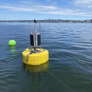
Coastal Water-Quality Monitoring in Massachusetts

December 2023 Flood in Maine

Investigating Connections Between Socioeconomic Data and Populations Susceptible to Private Well-Water Concerns in New Hampshire

Detailed Characterization of the Savage Superfund Site, New Hampshire

USGS Assessment of Water Resources near Hanscom Air Force Base

Erosion Potential and Flood Vulnerability of Streams and Stream Crossings at Acadia National Park, Maine

Water Resources Inventory and Assessment at Katahdin Woods and Waters National Monument

Water Quality Monitoring in the Cambridge Drinking-Water Source Area, Massachusetts

Flood Documentation and Inundation Mapping of the January and March 2018 Nor’easters in Coastal Massachusetts

Herring River Water Quality

USGS Publications on the Water Resources of Cape Cod and Southeastern Massachusetts

Groundwater and Surface-Water Monitoring in the Mill Creek Watershed, Wellfleet and Truro, Massachusetts

Development of Streamflow Record Extension Equations in New Hampshire

Development of Regional Regression Equations to Estimate the Magnitude of Peak Flows for Selected Annual-Exceedance Probabilities in Maine
The New England Water Science Center applies landscape science to understand water-resource challenges at the scales where decisions are made—from a local stream or aquifer to an entire watershed, river basin, or region.
We combine long-term monitoring, field studies, laboratory analysis, mapping, modeling, and data delivery. By linking hydrologic, water-quality, ecological, climate, and land-use information, we help partners understand current conditions, identify trends, and prepare for future change.
Gulf of Maine Projects
Gulf of Maine
Thermal Imaging to Detect Cold-Water Habitat for Atlantic Salmon and Brook Trout at Katahdin Woods and Waters National Monument
Coastal Water-Quality Monitoring in Massachusetts
December 2023 Flood in Maine
Investigating Connections Between Socioeconomic Data and Populations Susceptible to Private Well-Water Concerns in New Hampshire
Detailed Characterization of the Savage Superfund Site, New Hampshire
USGS Assessment of Water Resources near Hanscom Air Force Base
Erosion Potential and Flood Vulnerability of Streams and Stream Crossings at Acadia National Park, Maine
Water Resources Inventory and Assessment at Katahdin Woods and Waters National Monument
Water Quality Monitoring in the Cambridge Drinking-Water Source Area, Massachusetts
Flood Documentation and Inundation Mapping of the January and March 2018 Nor’easters in Coastal Massachusetts
Herring River Water Quality
USGS Publications on the Water Resources of Cape Cod and Southeastern Massachusetts
Groundwater and Surface-Water Monitoring in the Mill Creek Watershed, Wellfleet and Truro, Massachusetts
Development of Streamflow Record Extension Equations in New Hampshire