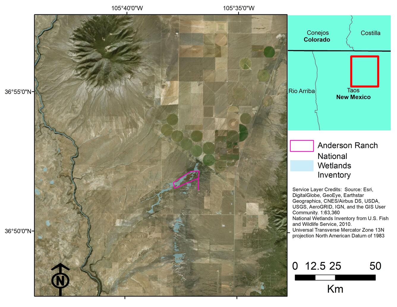
The Anderson Ranch Wetlands (AR Wetlands), located in Taos County, north-central New Mexico, may be at risk from changes in climate patterns, from shifts in available water supply, and from agricultural groundwater pumping adjacent to the wetlands. To help guide management decisions, the USGS is completing an initial hydrologic characterization of the wetlands.

Project Details:
The Anderson Ranch property (Anderson Ranch) has been transferred to the Bureau of Land Management (BLM) as part of a Natural Resource Damage Assessment Restoration settlement. Anderson Ranch supports both freshwater emergent wetlands and freshwater ponds (U.S. Fish and Wildlife Service, 2010). Wetland landscapes are rare in New Mexico, and wetland habitat in New Mexico has shrunk in the last 200 years (Fretwell and others, 1996). Wetlands provide unique habitat for diverse ecosystems and many organisms, notably migratory waterfowl and wading birds (Fretwell and others, 1996; U.S. Environmental Protection Agency, 2017). Based on the location of the AR Wetlands within the Rio Grande Flyway, it is well-positioned to attract numerous bird species. Assessing the water resources is essential for planning the best use of the property and enhancing the existing resources. An initial hydrologic characterization of the AR Wetlands is the first step in obtaining this information.
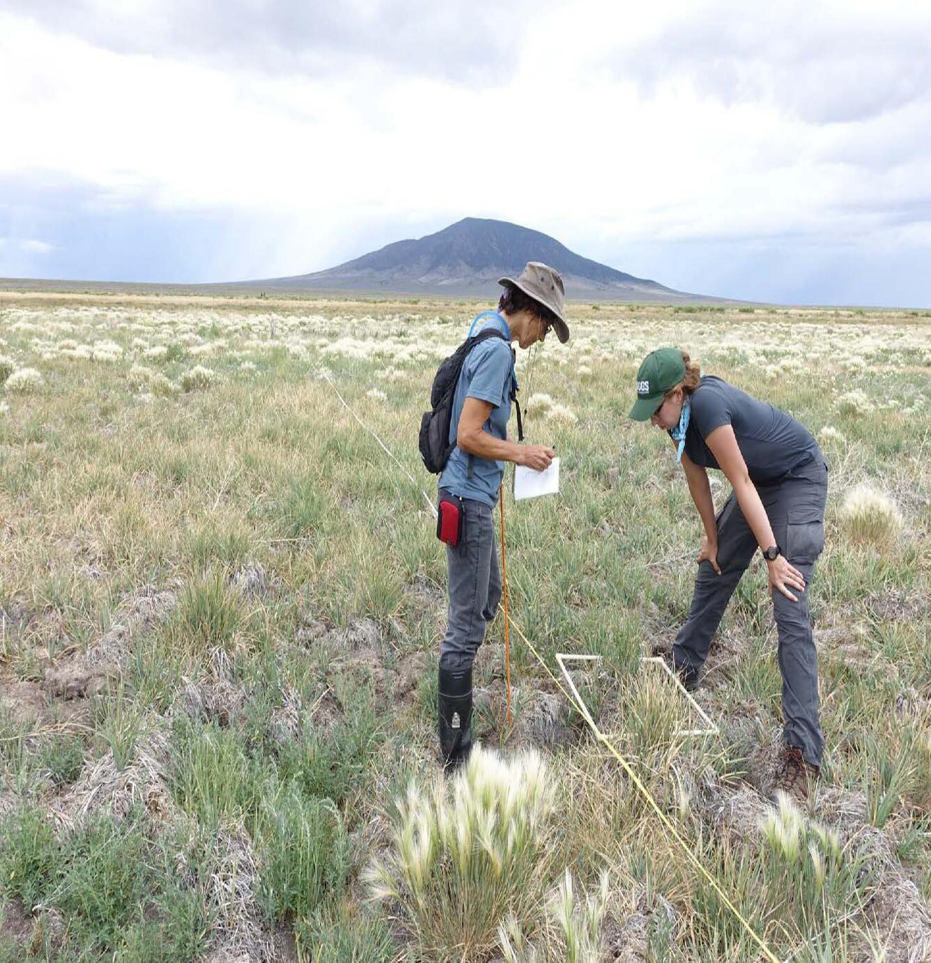
The objective of this project is to provide a hydrologic characterization of the AR Wetlands that will guide the best management strategy for property. The characterization will provide scientifically-defensible information to the BLM as a basis for requesting further resources (such as a water right, additional funding, additional land, or habitat improvement), if needed, to maintain and enhance the AR Wetlands. Tasks to support the hydrologic characterization include: installation of five groundwater monitoring wells, collection of groundwater-level data (continuous and discrete), geochemical sampling, and completion of a vegetation survey.
Groundwater-level data and geochemical data are available on the USGS National Water Information System (http://waterdata.usgs.gov/nwis). An open-file report will be published detailing the vegetation survey data as well as a summary of the project results.

Data associated with the project:
Data have been collected for the following sites. Links below are for the USGS National Water Information System. Period of record and type of data can be selected for each site.
Continuous groundwater levels at installed monitoring wells:
Discrete groundwater levels at installed monitoring wells:
Discrete groundwater levels at nearby wells:
Geochemistry data:

References:
Fretwell, J.D., Williams, J.S., and Redman, P.J., 1996, National water summary on wetland resources: USGS Water-Supply Paper 2425, 431 p.
U.S. Environmental Proection Agency, 2017, Wetlands Protection and Restoration, Accessed August 2016 at https://www.epa.gov/wetlands.
U.S. Fish & Wildlife Service, 2010, Classification of wetlands and deepwater habitats of the United States: Washington, D.C., U.S. Dept. of the Interior, Fish and Wildlife Service, 1:24,000.
Below are partners associated with this project.
The Anderson Ranch Wetlands (AR Wetlands), located in Taos County, north-central New Mexico, may be at risk from changes in climate patterns, from shifts in available water supply, and from agricultural groundwater pumping adjacent to the wetlands. To help guide management decisions, the USGS is completing an initial hydrologic characterization of the wetlands.

Project Details:
The Anderson Ranch property (Anderson Ranch) has been transferred to the Bureau of Land Management (BLM) as part of a Natural Resource Damage Assessment Restoration settlement. Anderson Ranch supports both freshwater emergent wetlands and freshwater ponds (U.S. Fish and Wildlife Service, 2010). Wetland landscapes are rare in New Mexico, and wetland habitat in New Mexico has shrunk in the last 200 years (Fretwell and others, 1996). Wetlands provide unique habitat for diverse ecosystems and many organisms, notably migratory waterfowl and wading birds (Fretwell and others, 1996; U.S. Environmental Protection Agency, 2017). Based on the location of the AR Wetlands within the Rio Grande Flyway, it is well-positioned to attract numerous bird species. Assessing the water resources is essential for planning the best use of the property and enhancing the existing resources. An initial hydrologic characterization of the AR Wetlands is the first step in obtaining this information.
The objective of this project is to provide a hydrologic characterization of the AR Wetlands that will guide the best management strategy for property. The characterization will provide scientifically-defensible information to the BLM as a basis for requesting further resources (such as a water right, additional funding, additional land, or habitat improvement), if needed, to maintain and enhance the AR Wetlands. Tasks to support the hydrologic characterization include: installation of five groundwater monitoring wells, collection of groundwater-level data (continuous and discrete), geochemical sampling, and completion of a vegetation survey.
Groundwater-level data and geochemical data are available on the USGS National Water Information System (http://waterdata.usgs.gov/nwis). An open-file report will be published detailing the vegetation survey data as well as a summary of the project results.

Data associated with the project:
Data have been collected for the following sites. Links below are for the USGS National Water Information System. Period of record and type of data can be selected for each site.
Continuous groundwater levels at installed monitoring wells:
Discrete groundwater levels at installed monitoring wells:
Discrete groundwater levels at nearby wells:
Geochemistry data:

References:
Fretwell, J.D., Williams, J.S., and Redman, P.J., 1996, National water summary on wetland resources: USGS Water-Supply Paper 2425, 431 p.
U.S. Environmental Proection Agency, 2017, Wetlands Protection and Restoration, Accessed August 2016 at https://www.epa.gov/wetlands.
U.S. Fish & Wildlife Service, 2010, Classification of wetlands and deepwater habitats of the United States: Washington, D.C., U.S. Dept. of the Interior, Fish and Wildlife Service, 1:24,000.
Below are partners associated with this project.

