
Saturated thickness mapping of the Southern High Plains Aquifer in Eastern New Mexico
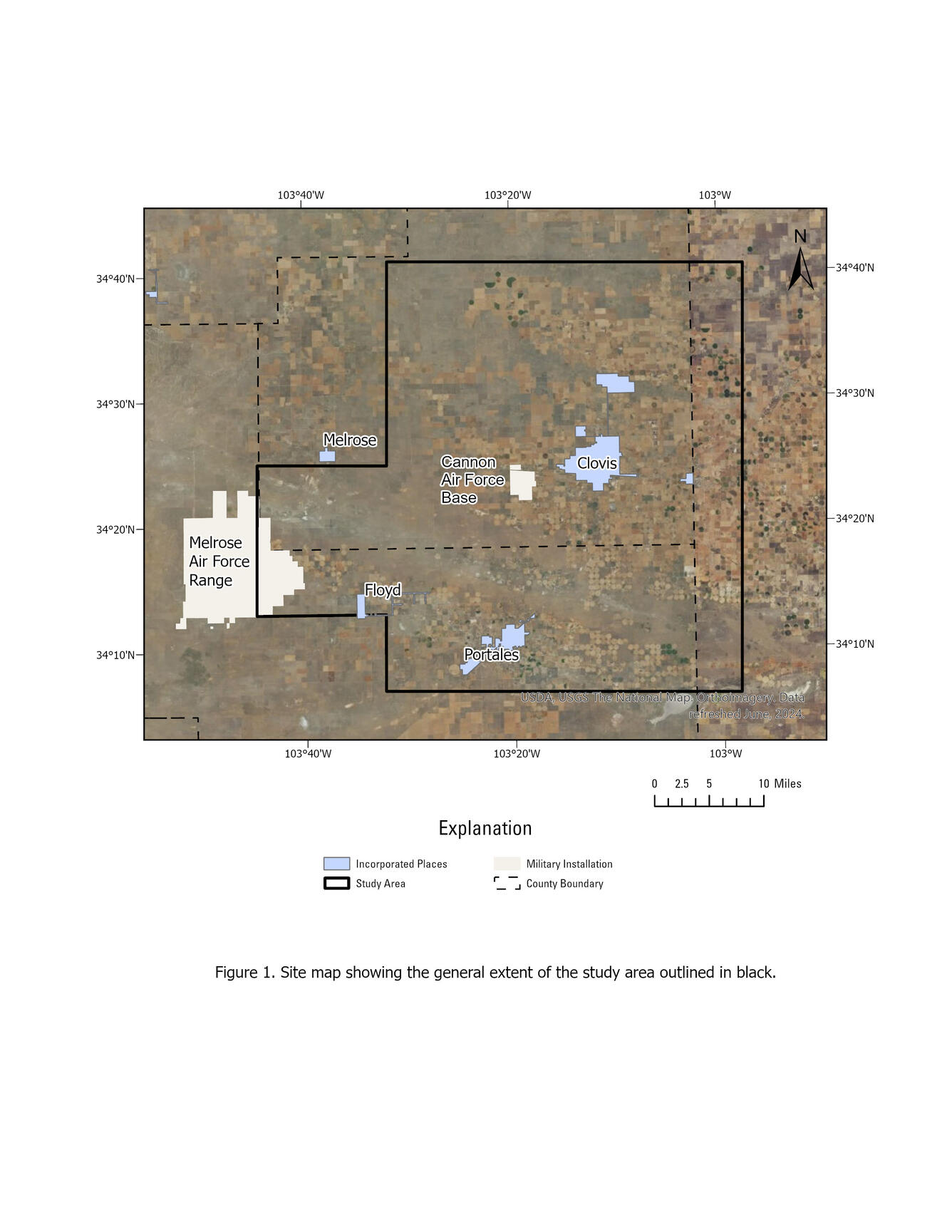
The overall objective of this study is to assist Cannon AFB in understanding and interpreting current and local hydrological conditions by developing an estimate of saturated thickness of the aquifer underlying Cannon AFB and surrounding areas. The Southern High Plains aquifer is the principal source of water for Cannon AFB, the nearby towns of Clovis and Portales, and the local agriculture. The Ogallala Formation is the principal geologic unit comprising the Southern High Plains Aquifer in Eastern New Mexico. Groundwater levels have been measured by the U.S. Geological Survey (USGS) across the study area since the 1950's. A map of the study area is shown below. An airborne electromagnetic survey of the subsurface will be completed to map the top of the Chinle Formation. Groundwater level measurements and the elevation data for the top of the Chinle Formation will be used to determine the saturated thickness of the Southern High Plains aquifer in the study area.
Water levels will be measured by the USGS from December 2025 to February 2026 to expand and update regional groundwater maps. Any questions about the water level fieldwork can be directed to Michael Whiting (mwhiting@usgs.gov, (505) 537-1504) or Allison Flickinger (aflickinger@usgs.gov, (763) 250-9157).