
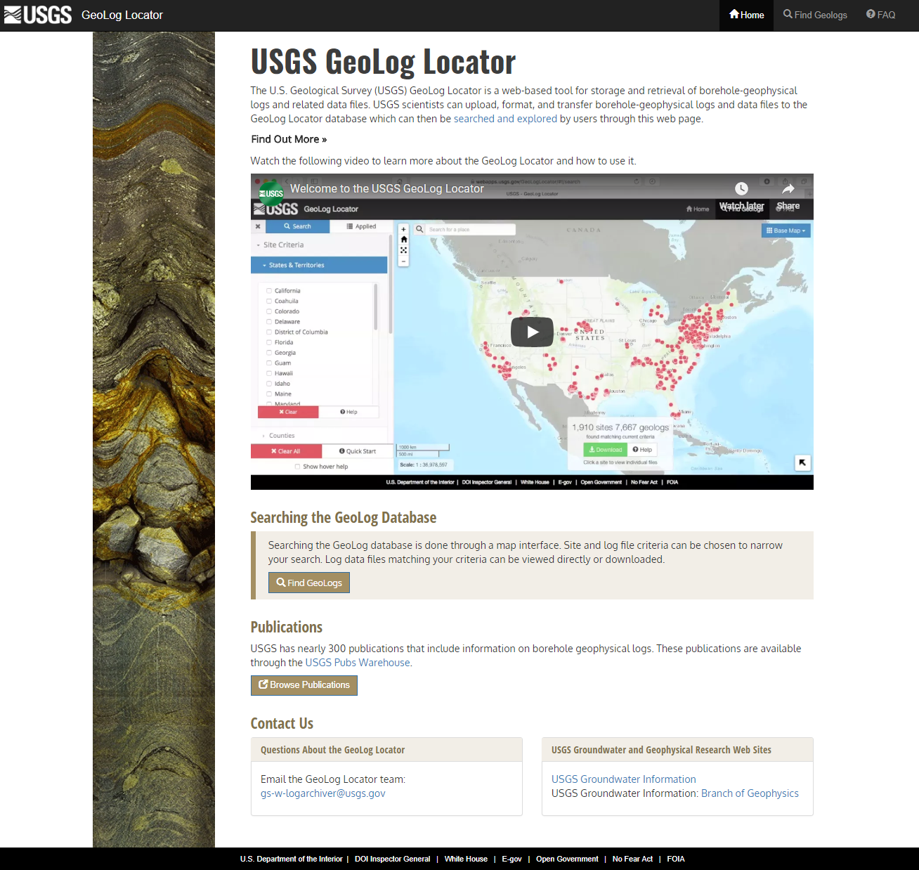
The Geolog Locator allows users to search more than 7,000 digital borehole geophysical logs at over 1,700 locations. Users like hydrogeologists, groundwater hydrologists, and geologists can search and explore the online database, which primarily includes information collected by the USGS, as well some data compiled from other sources with permission.
At the map interface, users can zoom and click on individual borehole locations to view and download available logs. The interface is fully searchable by state, county, USGS National Water Information System, or NWIS, site number or station name, or by using a geographic bounding area. Users can search by log criteria, such as log category (generally logging tool type), file format, minimum logging depth, or log collection date range. Logs can be downloaded in batches that result from search criteria or can be downloaded individually.
A wide range of borehole log types are available, including acoustic, caliper, electric, electromagnetic, fluid, lithologic, nuclear, optical, well construction, or a combination or composite of these types. File formats include ASCII, DOC, IMG, LAS, PDF and original. Where possible, geophysical logs are available in Log ASCII Standard (LAS) v2.0, a format developed by the Canadian Well Logging Society. The LAS format is a widely accepted standard for storage and transmittal of log data in the geophysical and groundwater science community. Image logs typically are exported in other formats where features can be delineated. As new logs become available, they will be added to the database.