
Investigation of Drivers of Harmful Algal Blooms on Lake Anna, Virginia
Lake Anna, Virginia
Access real-time water-quality data
Monitoring the Lake in All Conditions
USGS scientists explore factors driving HABs
Upstream Influences?
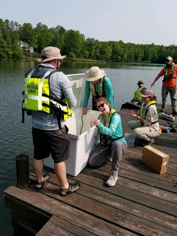
Tributaries upstream of Lake Anna are monitored to evaluate their effects on HABs
The U.S. Geological Survey (USGS), in cooperation with the Viriginia Department of Environmental Quality (DEQ) is monitoring harmful algal blooms (HABs) on Lake Anna in Virginia. The hydrology, water-quality, and weather conditions are evaluated both continuously and discretely to analyze the causes, persistence, and decline of HABs in two tributaries and along Lake Anna. Synoptic monitoring of tributaries and the lake, near-shore lake transects, and lake bed samples will identify hot spots of nutrient and algal growth. The overall objective of the study is to provide data to understand the driving factors and their interactions of hydrology, water chemistry, and meteorology on HABs formation, persistence, and decline over time.
Overview
Excessive growth of algae can have detrimental effects on aquatic ecosystems, reduce the quality of water resources, and can pose significant human and pet health risks through skin contact or by ingesting contaminated water or shellfish. Impacts of HABs include degradation of water quality, accumulation of scums, algal production of toxins that are potent enough to poison both aquatic and terrestrial organisms, and algal production of taste-and-odor compounds that cause unpalatable drinking water and fish.
Lake Anna is a reservoir in central Virginia that serves as a popular destination for water recreational activities. The riverine and portions of the transitional areas of the lake have had consistent elevated cell counts of potential toxigenic species starting in the mid-summer each year since 2018, resulting in Virginia Department of Health (VDH) HAB advisories each year, advising the public to avoid primary contact recreation (e.g., swimming) for portions of the lake. There are many potential factors that could impact the development, persistence, and decline of HABs, including nutrients, temperature, climate, wave action, geochemistry, and light in rivers and lakes. However, these factors and the interactions among these factors that can proliferate HABs are unknown and requires further investigation.
Objectives
The objectives of the discrete and continuous monitoring network in both the tributaries and Lake Anna itself are to:
- Identify and understand the factors and processes leading to HAB initiation, persistence, and decline;
- Identify primary sources of the factors contributing to the formation of HABs; and
- Identify technologies or approaches to help predict or provide early detection of a HAB event
Active Monitoring Sites
Click the links below to view active site data:
Tributary sites:
- Site ID: 016701405 N Anna River at Rt 669 near Monrovia, VA
- Site ID: 01670200 Pamunkey Creek at Rt 651 near Lahore, VA
Lake sites:
Title
Active Monitoring Sites
Click the links below to view active site data:
Tributary sites:
- Site ID: 016701405 N Anna River at Rt 669 near Monrovia, VA
- Site ID: 01670200 Pamunkey Creek at Rt 651 near Lahore, VA
Lake sites:

Harmful Algal Blooms Investigations at the Virginia and West Virginia Water Science Center

Investigation of Drivers of Harmful Algal Blooms on Lake Anna, Virginia


Harmful Algal Blooms Investigations at the Virginia and West Virginia Water Science Center