
Chehalis Watershed Suspended Sediment Monitoring
The USGS monitored sediment loads in the Chehalis River and its major tributaries, allowing comparisons with historical monitoring. As a result, we now have a better understanding of modern sediment loads and how those loads have changed since the 1960s in response to improved land use practices. This information helps the U.S. Army Corps of Engineers maintain shipping access in Grays Harbor.
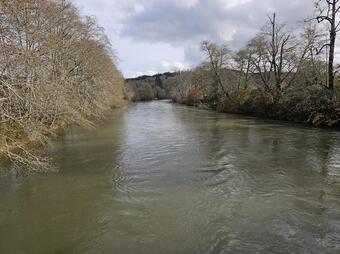
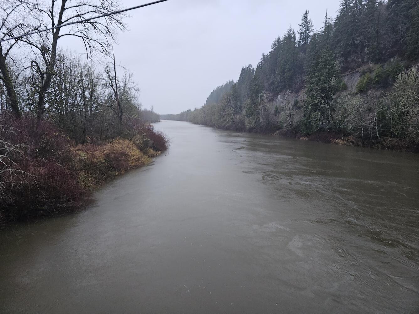
The USGS investigated sediment dynamics in the Chehalis River Basin. The Chehalis River deposits sediment in Grays Harbor, which the U.S. Army Corps of Engineers regularly dredges to maintain shipping access. The sources and overall volumes of sediment transport in the lower river were last assessed in the 1960s, and updated information was needed for planning.
Over the past 50 years, land use practices in the Chehalis River Basin have shifted, in part due to regulations designed to reduce sediment loads in rivers. New information will help managers continue to operate and plan for healthy rivers and communities.
Three questions guided the USGS’s effort:
- How did the relationship between sediment and streamflow change from the 1960s to the modern era?
- How have changes in streamflow and flooding influenced sediment delivery?
- How do geographic and geologic factors impact the relative rate of sediment delivery?
Monitoring sediment
To answer these questions, the USGS needed to gather more data about how much sediment moves through the rivers. We embarked on a multi-year data collection campaign from 2019-2022.

First, we installed sensors to monitor turbidity throughout the year at three existing USGS streamgages. We also collected suspended sediment concentration (SSC) samples at a variety of flow rates, which allowed us to develop statistical relationships between SSC, turbidity, and streamflow (discharge).
Turbidity and streamflow data are available on our Water Data for the Nation monitoring location webpages.
- Chehalis River at Porter, WA - USGS Water Data for the Nation
- Satsop River Near Satsop, WA - USGS Water Data for the Nation
- Wynoochee River Above Black Creek NR Montesano, WA - USGS Water Data for the Nation
These datasets built upon work done by our predecessors in the 1960s, allowing for a comparison after 50 years.
Assessing sediment dynamics
Using the sediment monitoring data, the USGS analyzed sediment dynamics in the Wynoochee, Satsop, and mainstem Chehalis Rivers. The findings of this analysis are published in the journal Geomorphology.
Major findings from this study:
The Satsop and Wynoochee Rivers experienced substantial declines in suspended sediment concentration-discharge relations. That means that, overall, there is less sediment in each gallon of water exiting these watersheds than there was 50 years ago. This finding indicates that efforts to reduce sediment worked. Because of reduced sediment from these two watersheds, the average sediment load entering Grays Harbor has dropped by half since the 1960s.
The mainstem Chehalis River carries much less sediment than the Satsop and Wynoochee Rivers. However, SSC-discharge relations in the mainstem Chehalis have shifted upwards since the 1960s, meaning that, on average, more sediment was carried with each gallon of water. Though the three watersheds are similar in many regards, the underlying rocks and soils are different. Differences in geology likely have a significant impact on sediment transport and sensitivity to land use impacts, even within a small geographic region.

The USGS monitored sediment loads in the Chehalis River and its major tributaries, allowing comparisons with historical monitoring. As a result, we now have a better understanding of modern sediment loads and how those loads have changed since the 1960s in response to improved land use practices. This information helps the U.S. Army Corps of Engineers maintain shipping access in Grays Harbor.
The USGS investigated sediment dynamics in the Chehalis River Basin. The Chehalis River deposits sediment in Grays Harbor, which the U.S. Army Corps of Engineers regularly dredges to maintain shipping access. The sources and overall volumes of sediment transport in the lower river were last assessed in the 1960s, and updated information was needed for planning.
Over the past 50 years, land use practices in the Chehalis River Basin have shifted, in part due to regulations designed to reduce sediment loads in rivers. New information will help managers continue to operate and plan for healthy rivers and communities.
Three questions guided the USGS’s effort:
- How did the relationship between sediment and streamflow change from the 1960s to the modern era?
- How have changes in streamflow and flooding influenced sediment delivery?
- How do geographic and geologic factors impact the relative rate of sediment delivery?
Monitoring sediment
To answer these questions, the USGS needed to gather more data about how much sediment moves through the rivers. We embarked on a multi-year data collection campaign from 2019-2022.
First, we installed sensors to monitor turbidity throughout the year at three existing USGS streamgages. We also collected suspended sediment concentration (SSC) samples at a variety of flow rates, which allowed us to develop statistical relationships between SSC, turbidity, and streamflow (discharge).
Turbidity and streamflow data are available on our Water Data for the Nation monitoring location webpages.
- Chehalis River at Porter, WA - USGS Water Data for the Nation
- Satsop River Near Satsop, WA - USGS Water Data for the Nation
- Wynoochee River Above Black Creek NR Montesano, WA - USGS Water Data for the Nation
These datasets built upon work done by our predecessors in the 1960s, allowing for a comparison after 50 years.
Assessing sediment dynamics
Using the sediment monitoring data, the USGS analyzed sediment dynamics in the Wynoochee, Satsop, and mainstem Chehalis Rivers. The findings of this analysis are published in the journal Geomorphology.
Major findings from this study:
The Satsop and Wynoochee Rivers experienced substantial declines in suspended sediment concentration-discharge relations. That means that, overall, there is less sediment in each gallon of water exiting these watersheds than there was 50 years ago. This finding indicates that efforts to reduce sediment worked. Because of reduced sediment from these two watersheds, the average sediment load entering Grays Harbor has dropped by half since the 1960s.
The mainstem Chehalis River carries much less sediment than the Satsop and Wynoochee Rivers. However, SSC-discharge relations in the mainstem Chehalis have shifted upwards since the 1960s, meaning that, on average, more sediment was carried with each gallon of water. Though the three watersheds are similar in many regards, the underlying rocks and soils are different. Differences in geology likely have a significant impact on sediment transport and sensitivity to land use impacts, even within a small geographic region.