
Woods Hole Coastal and Marine Science Center in the Field
In the Field; Land, Sea, and Air
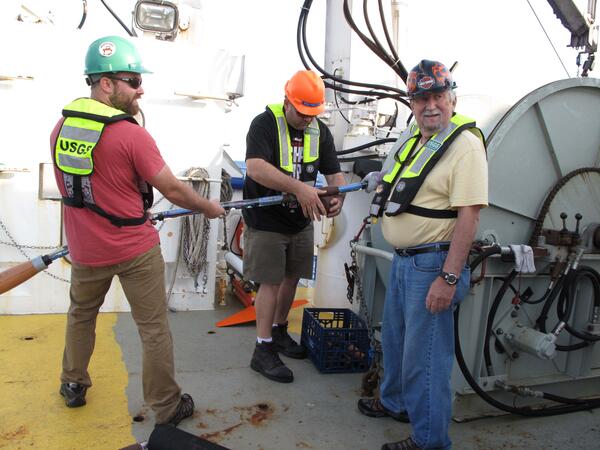
Woods Hole Coastal and Marine Science Center scientists and staff study coastal and ocean resources and processes from the land, sea, and air, to shorelines and estuaries to the continental shelf, deep sea, lake floor, river bottoms and shallow subsurfaces environments. We have implemented new safety and fieldwork processes to maintain social distancing to ensure the safety of our employees and communities while following guidance from federal, state and local authorities.
Woods Hole Coastal and Marine Science Center Field Activity Calendar
Location | Dates | Scientific Purpose | Information to be Derived |
|---|---|---|---|
Marconi Beach, Massachusetts | Throughout 2025 | To collect pre and post elevation data after fall and winter storms at the CoastCam equipment. | elevation profiles, photos for structure-from-motion, lidar data |
| Lake Skilak, Alaska | Winter-Spring 2025 | To measure site response of Skilak Lake basin for calibration of lacustrine paleoseismic record. | lake-bottom and land broadband seismograph data |
| Cape Cod National Seashore Herring River restoration, Massachusetts | Throughout 2025 | To collect data related to the restoration of the Herring River coastal ecosystem. | GHG fluxes, porewater salinity and elevation, geochemistry of water and sediments |
| New England coastline | Throughout 2025 | New England area study of cold season water and chemistry dynamics in salt marshes. | Surface and porewater chemistry, GHG fluxes |
| Long Island Sound | May 2025 | To collect ground truth sediment samples, video and photographs to help characterize the seafloor geology and biota. | grain size, seafloor character |


In the Field; Land, Sea, and Air
Woods Hole Coastal and Marine Science Center scientists and staff study coastal and ocean resources and processes from the land, sea, and air, to shorelines and estuaries to the continental shelf, deep sea, lake floor, river bottoms and shallow subsurfaces environments. We have implemented new safety and fieldwork processes to maintain social distancing to ensure the safety of our employees and communities while following guidance from federal, state and local authorities.
Woods Hole Coastal and Marine Science Center Field Activity Calendar
Location | Dates | Scientific Purpose | Information to be Derived |
|---|---|---|---|
Marconi Beach, Massachusetts | Throughout 2025 | To collect pre and post elevation data after fall and winter storms at the CoastCam equipment. | elevation profiles, photos for structure-from-motion, lidar data |
| Lake Skilak, Alaska | Winter-Spring 2025 | To measure site response of Skilak Lake basin for calibration of lacustrine paleoseismic record. | lake-bottom and land broadband seismograph data |
| Cape Cod National Seashore Herring River restoration, Massachusetts | Throughout 2025 | To collect data related to the restoration of the Herring River coastal ecosystem. | GHG fluxes, porewater salinity and elevation, geochemistry of water and sediments |
| New England coastline | Throughout 2025 | New England area study of cold season water and chemistry dynamics in salt marshes. | Surface and porewater chemistry, GHG fluxes |
| Long Island Sound | May 2025 | To collect ground truth sediment samples, video and photographs to help characterize the seafloor geology and biota. | grain size, seafloor character |