



Collection
Explore our Collection
Cores | Cuttings | Thin Sections | Photos
What is in our collection, and how can I find specific cores and cuttings?
What is in our collection?
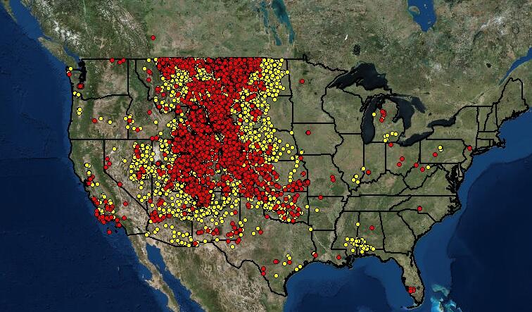
The Core Research Center is home to more than 9,900 rock cores and 53,000 cuttings wells from 36 states, which represent more than 252 million linear feet of drilling. All rock cores and cuttings are located on the Denver Federal Center in Lakewood, CO and can be accessed by appointment.
About 95% of the cores and cuttings were donated by the petroleum and mining industries, other Federal agencies, state geological surveys, and universities; and about 5% of the cores were drilled by the USGS.
Search for Cores and Cuttings
The Core Research Center Well Catalog contains metadata for every core and cutting in the collection. The Catalog allows users to find and search information about the locations, oil fields, wells, depths and geologic formations from which cores and cuttings were collected; the type of sample collected; and whether that core has been analyzed before. The Catalog also contains more than 36,000 photos and over 31,700 thin section scans.
Didn’t find the information that you are looking for? Try one of these other digital databases.
Collections Highlights: every core has a story!
Our collection contains some storied cores and collections, from samples that have helped answer important geologic questions about energy resources, natural hazards, and water resources - to some that are just plain cool. Explore a few here.
The Yellowstone Cores
The Yellowstone National Park collection consists of 13 cores drilled by the USGS in conjunction with the National Park Service and are taken from spots throughout the park. The cores range in length from 215 feet to 1088 feet, for a total of 5,413 feet of core.
With the recent explosion at Biscuit Basin on July 23, 2024, this collection has seen a plethora of Geologists coming in to view and sample these cores to understand more about the geology in the park and why that explosion happened.

Cajon Pass Collection
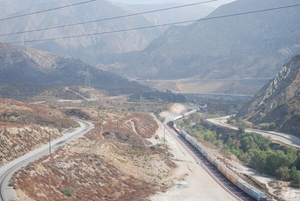
The Cajon Pass, CA collection, was drilled to determine fault motions and resistance to plate motion from two plates along the San Andreas fault, which runs along the U.S.'s west coast and has caused dangerous and destructive earthquakes in America's past.
Castle Pines and Kiowa Cores
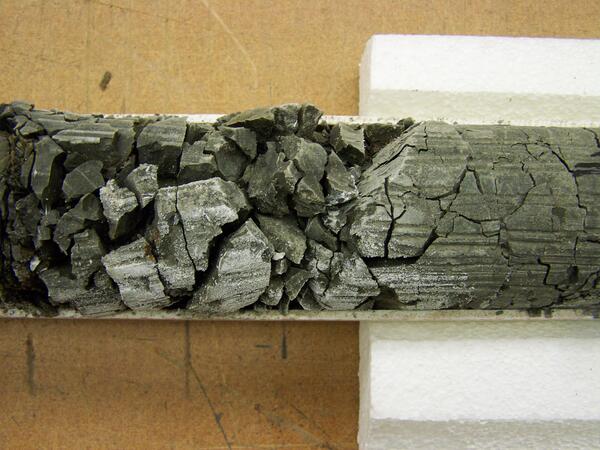
The Castle Pines and Kiowa cores have been used to examine spatial variation on yields for groundwater resources in the Denver Basin and to study how Earth's life has changed over time.

Enewetak Atoll Collection
Between 1946 and 1958, nuclear testing was conducted at Enewetak and Bikini Atolls. Sixty seven U.S. atmospheric and underwater detonations were performed leaving long-lasting environmental and geological impacts. The drilling programs that followed these tests recovered deep core samples that scientists still use today to study blast effects, reef structure, and long-term environmental change.
The Enewetak-Bikini Atoll collection at the CRC consists of 43 cores ranging in length from 50 feet to over 1,500 feet for a grand total of 14,258 feet of core!
Hawaii Island Cores
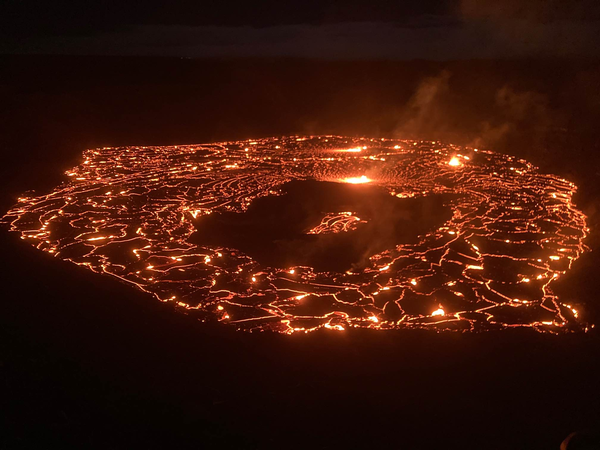
Our Hawaii core collection consists of eight cores, one donated in 1995 by the USGS, drilled by NSF and University of Hawaii. The other seven cores were recently donated to the CRC in December of 2025 by the Hawaii Volcano Observatory.
They were drilled for the purpose of studying lava lake cooling and for the installation of new monitoring equipment. They range in length from 165 feet to 392 feet for a total of 1,854 feet.