
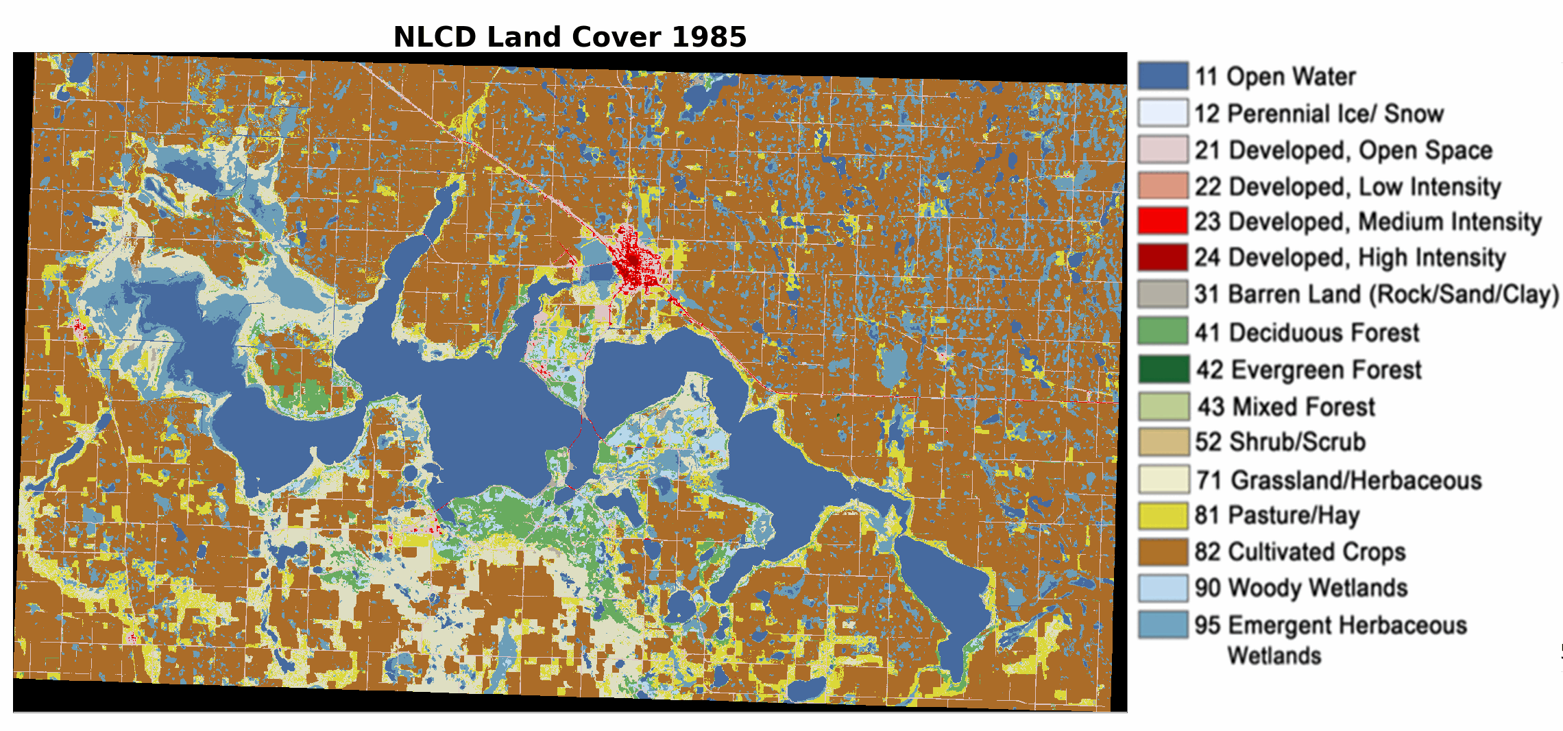
Annual NLCD animation of Devils Lake, North Dakota, from 1985 to 2023
Altered Content -
The Annual National Land Cover Database (NLCD) product uses AI in the process of characterizing land cover and land change data.
Detailed Description
An Annual National Land Cover Database (NLCD) animation of Devils Lake, North Dakota, from 1985 to 2023. Devils Lake is in the Prairie Pothole Region. Annual NLCD is produced at the USGS Earth Resources Observation and Science (EROS) Center.
Sources/Usage
Public Domain.