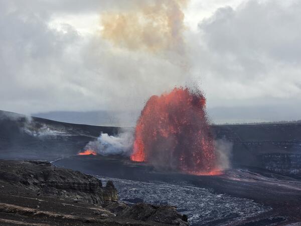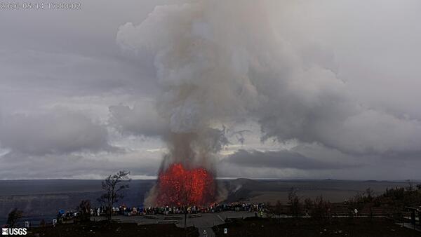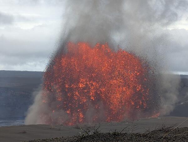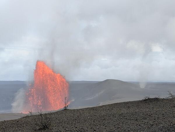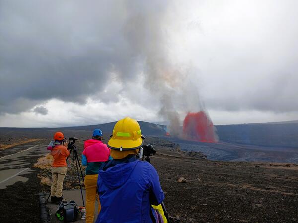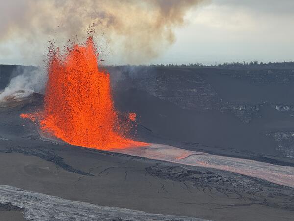
May 14, 2026 — Episode 47 north vent lava fountain and lava flows
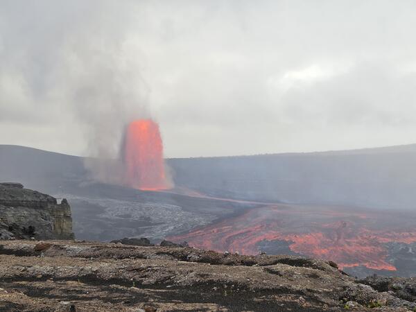
May 14, 2026 — Episode 47 north vent lava fountain and lava flowsMisty weather partially obscured views of episode 47 at the summit of Kīlauea on May 14, 2026. This photo was taken approximately 2 1/2 hours into the eruptive episode, which began at 3:27 p.m. HST. Only the north vent erupted a lava fountain, which fed channelized lava flows across the crater floor within Kaluapele. USGS photo by L. Forster.