U.S. flag

An official website of the United States government

July 25, 2025

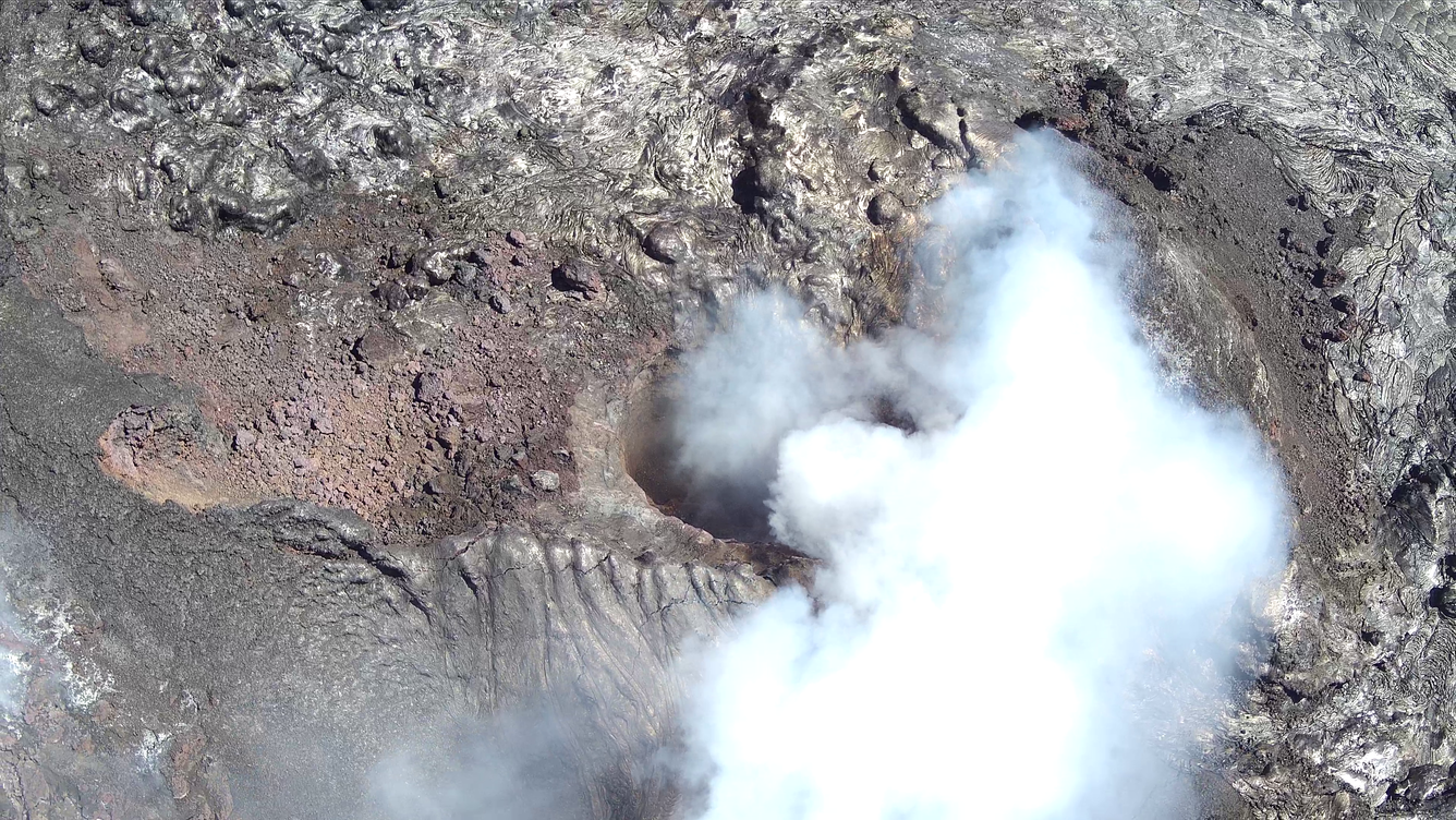
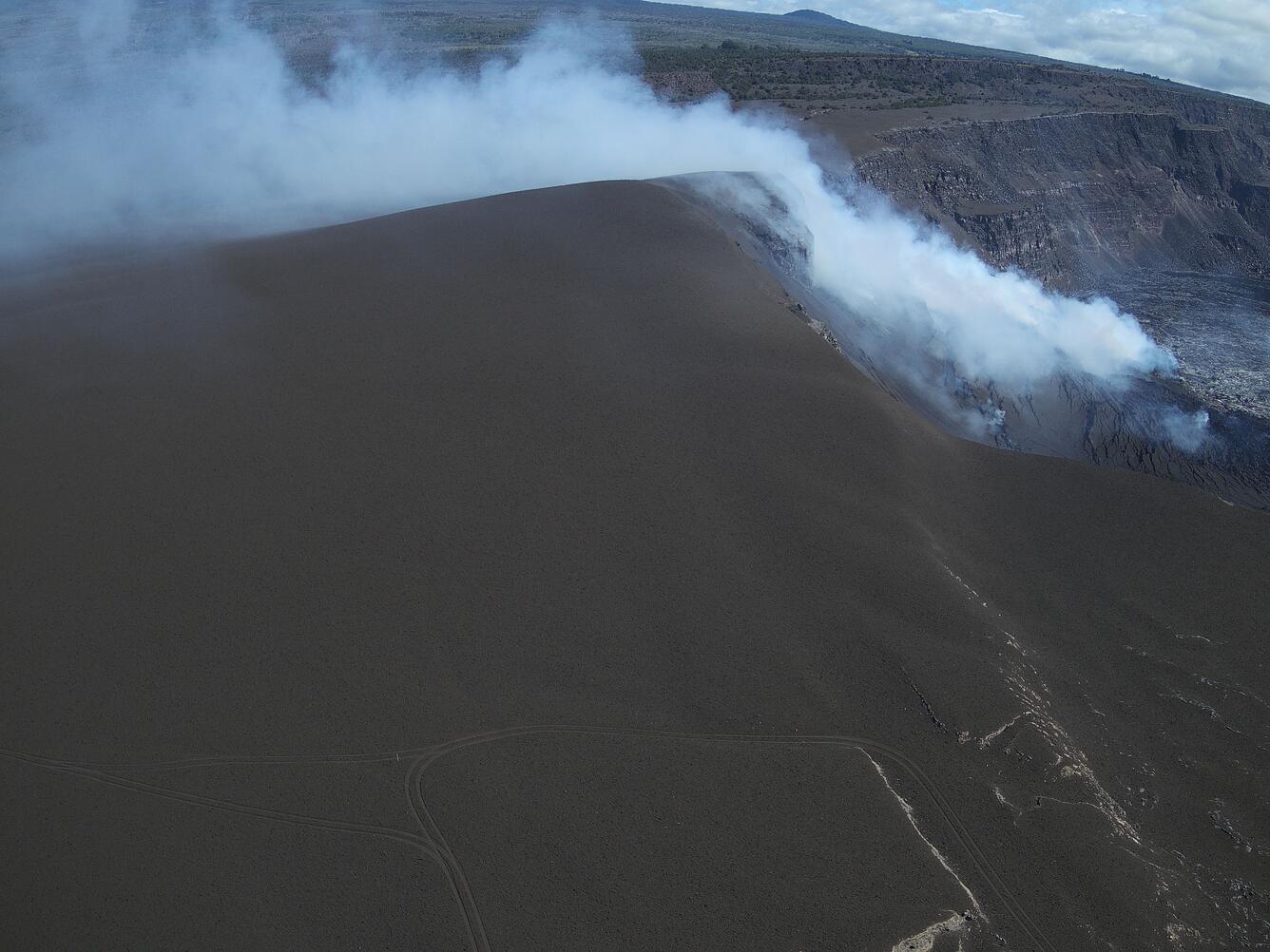
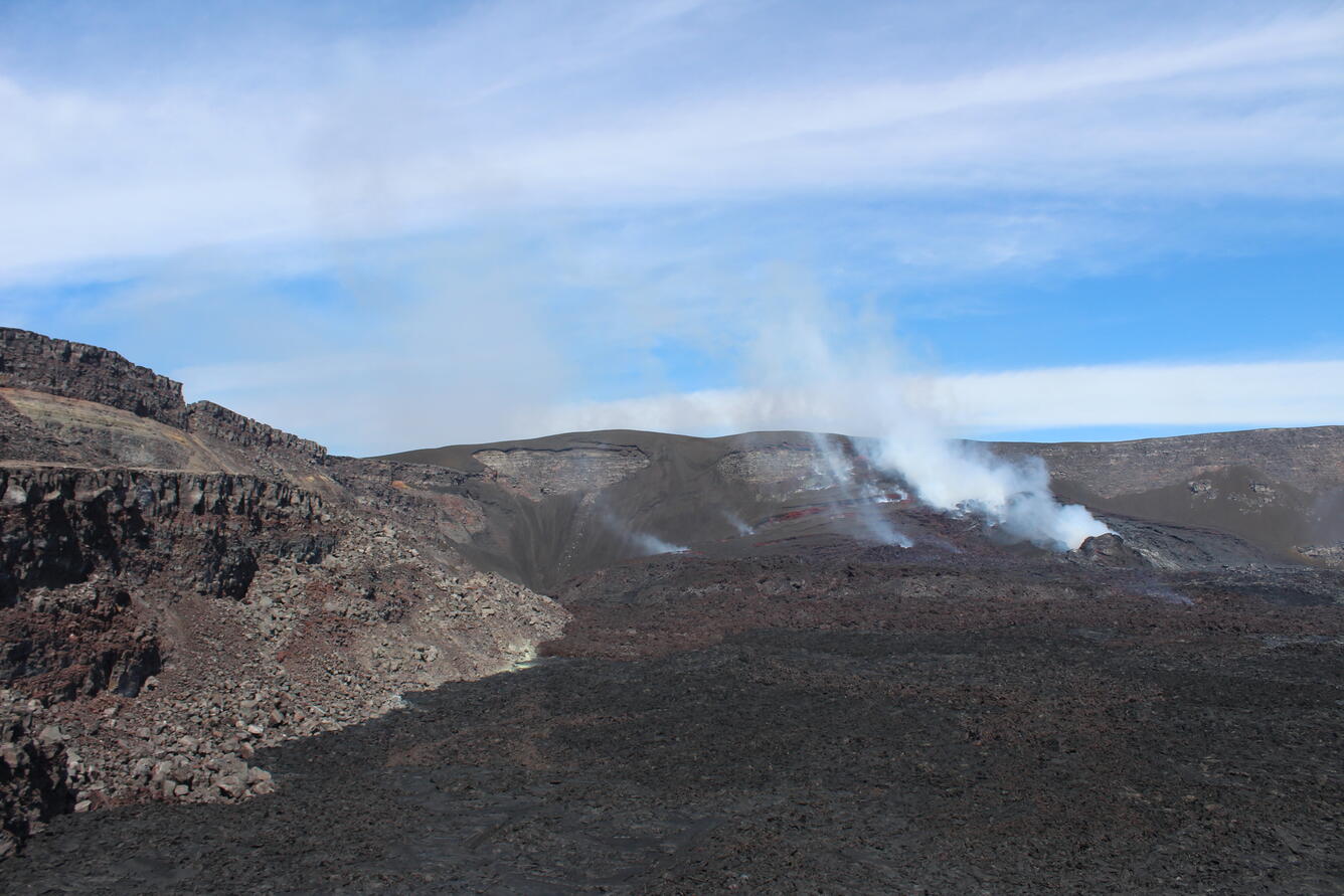
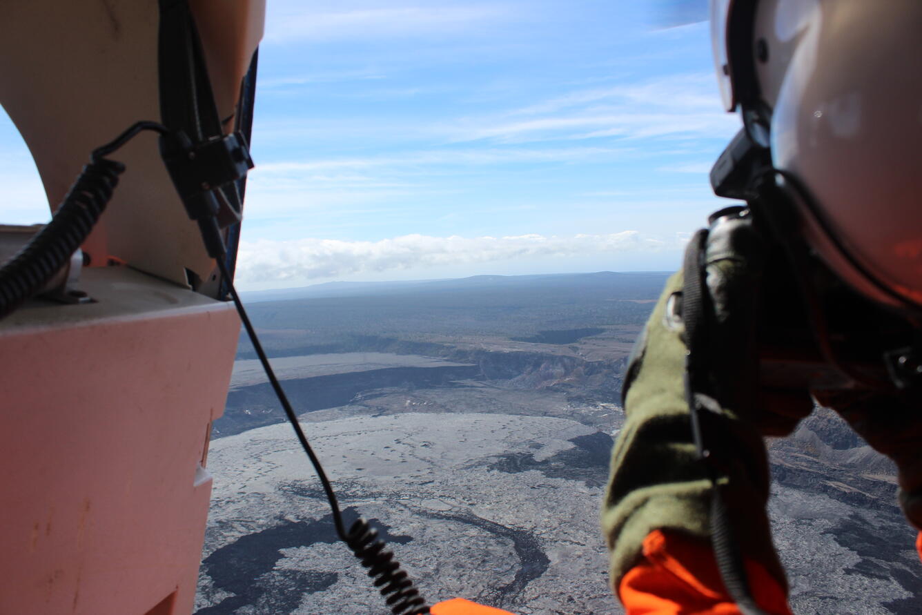
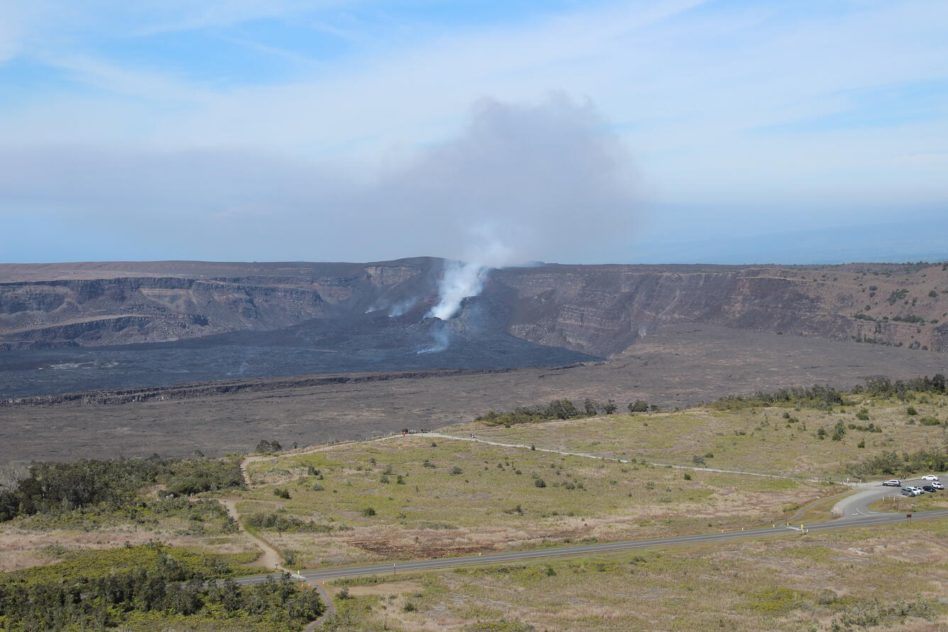
The ongoing Halemaʻumaʻu eruption is currently paused. USGS Hawaiian Volcano Observatory scientists made observations of the summit region on July 24 and 25. 


Media
Color photograph of volcanic vent
This oblique aerial view of the north vent within Halema‘uma‘u crater was captured during a USGS Hawaiian Volcano Observatory UAS (uncrewed aircraft systems) flight on July 25, 2025. The aircraft was flying about 150 m (500 ft) above the vent—about the height of the crater rim—with the image captured looking down to the northeast. Though degassing was strong, no active lava was visible in the vent; brief glimpses through thick fume only showed lava rock rubble on the floor of the conduit. These UAS flights were conducted with the permission of Hawai‘i Volcanoes National Park, owing to the Hawaiian Volcano Observatory's mission to monitor active volcanoes in Hawaii, assess their hazards, issue warnings, and advance scientific understanding to reduce the impacts of eruptions. Unauthorized launching, landing, or operating of a UAS from or on lands and waters administered by the National Park Service is prohibited under 36 CFR Closures & Public Use. USGS photo by A. Kekahuna and M. Zoeller.
Media
Color photograph of tephra cone
This oblique aerial view of the tephra cone from the ongoing Kīlauea summit eruption was captured during a USGS Hawaiian Volcano Observatory UAS (uncrewed aircraft systems) flight on July 25, 2025. The aircraft was flying about 120 m (400 ft) above ground level, with the image captured looking to the northeast. The featureless expanse spanning most of the image frame consists of tephra ejected from the eruptive vents (right background, within Halema‘uma‘u crater), with tire tracks in the foreground marking routes that scientists have been using to access monitoring equipment in the area. These UAS flights were conducted with the permission of Hawai‘i Volcanoes National Park, owing to the Hawaiian Volcano Observatory's mission to monitor active volcanoes in Hawaii, assess their hazards, issue warnings, and advance scientific understanding to reduce the impacts of eruptions. Unauthorized launching, landing, or operating of a UAS from or on lands and waters administered by the National Park Service is prohibited under 36 CFR Closures & Public Use. USGS photo by A. Kekahuna and M. Zoeller.
Media
Color photograph of volcanic vent on crater floor
This low-angle view of the crater complex that has built up since December 23, 2024, in western Halema‘uma‘u, was captured during a USGS Hawaiian Volcano Observatory monitoring helicopter overflight of Kīlauea volcano on July 24, 2025. The north vent is degassing on the right side of photo. The south vent is to the left of north vent but is not distinctive in this photo. USGS photo by A. Ellis.
Media
Color photograph of scientist taking photos from helicopter
A USGS Hawaiian Volcano Observatory scientist takes a series of photos at a constant angle and zoom during a summit overflight of Kīlauea volcano. These images are then processed using structure-from-motion photogrammetry methods to construct a new digital elevation model of the summit. Scientists use this data to track how the Halema‘uma‘u crater floor is rising and to measure the volume of lava erupted during eruptive episodes. USGS photo by A. Ellis.
Media
Color photograph of caldera with degassing vent within
USGS Hawaiian Volcano Observatory staff undertook a helicopter monitoring overflight of the summit of Kīlauea on July 24, 2025. This photo looking southwest shows the Steam Vents parking area in the bottom right with the trail to Wahinekapu (Steaming Bluff) going towards the middle of the photo. The vent complex that has developed since the eruption started on December 23, 2024 is in the center background, with north vent degassing. USGS photo by A. Ellis.
Was this page helpful?