
Mapping hotspots of first detections of non-native species
Every non-native species has a first record – the first place it was reported to occur in the wild in its non-native range. By analyzing the collection of first records across species, USGS researchers developed a novel approach for predicting where new invasive species will first establish, enabling early detection and control.
The cost of invasive control
Controlling invasive species is expensive, and the earlier a population is detected the more effective and efficient control can be. While management typically focuses on controlling species after they have spread, catching invasive species soon after they establish can make eradication possible. A key challenge is that species often aren’t noticed until they have spread widely. Identifying where new non-native species are most likely to establish first advances the ability to find invasive species’ populations quickly and limit their impacts.
Identifying hotspots of non-native species establishment
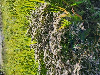
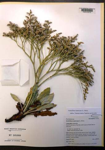
Detailed in a study in Ecography, USGS researchers introduced a new conceptual approach for identifying hotspots to survey for new invasive species. This approach uses the history of invasion across already-established species by analyzing where each species first arrived and spread. Species that arrive via the same pathway of introduction, for example species imported for ornamental use, can share commonalities in where they were first reported as naturalized.
USGS researchers developed the idea of understanding these commonalities to predict invasion hotspots using a first records distribution model (FRDM). An FRDM is a statistical model that analyzes how species’ first occurrence records relate to environmental conditions including climate and human infrastructure. It applies well-developed methods from the field of species distribution modeling but has a different goal: instead of predicting habitat suitability for a single species, FRDMs predict the risk of introduction and establishment for any species arriving via a focal pathway.
Adaptable model for management
First records distribution models formalize an intuitive approach: to look for new species where other non-native species were first found. These models can be developed at the spatial scale of a continent, state, region, or management unit. Within the chosen spatial unit, FRDMs produce outputs that are not tied to any single organism, but instead to a pathway of introduction used by many species. Mapped predictions from these models highlight how invasion risk differs across space and can direct biosurveillance towards the highest priority locations. Ongoing work is applying and testing this approach to confirm that it can guide survey efforts to detect invasive species earlier.