



Landsat MSS Level-1 Products Reprocessed to Correct Brightness Values
Several Landsat 2 and Landsat 3 Multispectral Sensor (MSS) Level-1 products were recently reprocessed to correct brightness value errors that were initially discovered in early 2025.
As reported in April 2025, about 44,000 Landsat MSS products were initially processed into the Collection 2 archive using incorrect gain and offset values. This caused slightly noticeable differences in pixel brightness values, specifically in Band 4 and Band 5 of Landsat 2 and Landsat 3 Level-1 products. As a result, those bands appeared brighter or darker than they should have. These products were recently reprocessed to correct the brightness values.
The reprocessing effort also corrected about 1,700 MSS products that were not only impacted by incorrect brightness values but were also initially processed with a bug in the solar elevation angle generation process. This led to 27,000 extra pixels (about 22 percent of each scene) being erroneously marked as cloud in the cloud mask, mostly located at the edges of clouds.
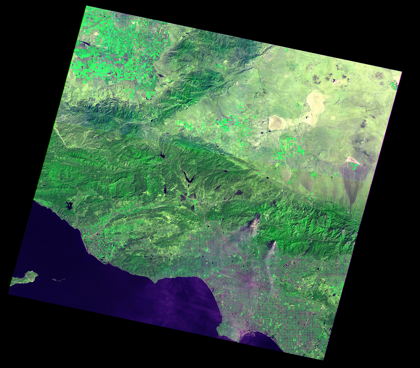
Correcting these issues meets the goal of continually providing high-quality products to the Landsat user community. The reprocessed products are available to download from the USGS Data Access portals and through the Commercial Cloud environment. Users are encouraged to verify the updated processing date displayed in the scene product identifiers if using these products.
The Landsat Reprocessing Events webpage will be updated to reflect the changes to these products soon after October 1, 2026.