
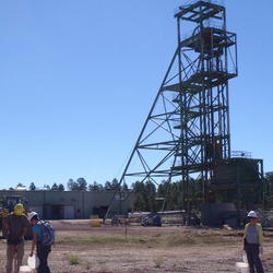
A map showing the locations of decision units at the Canyon Mine, AZ

Detailed Description
A map showing the locations of decision units surrounding the Canyon Mine, Arizona. The scientists used a incremental sampling methodology to collect samples from the predefined decision units. The points (squares and circles) indicate locations where surface soil subsamples were collected during June 2013. Modified from figure 2 from Naftz and Walton-Day, 2016.
Sources/Usage
Public Domain.
Related
U.S. Geological Survey Develops Approach to Assess Baseline Chemical and Radiological Conditions Prior to Uranium Mining near Grand Canyon National Park
U.S. Geological Survey (USGS) scientists developed an approach and collected baseline data to quantitatively assess offsite migration of mine-related contaminants and to identify critical contaminant exposure pathways that could result from uranium mining activities in the Grand Canyon region.