
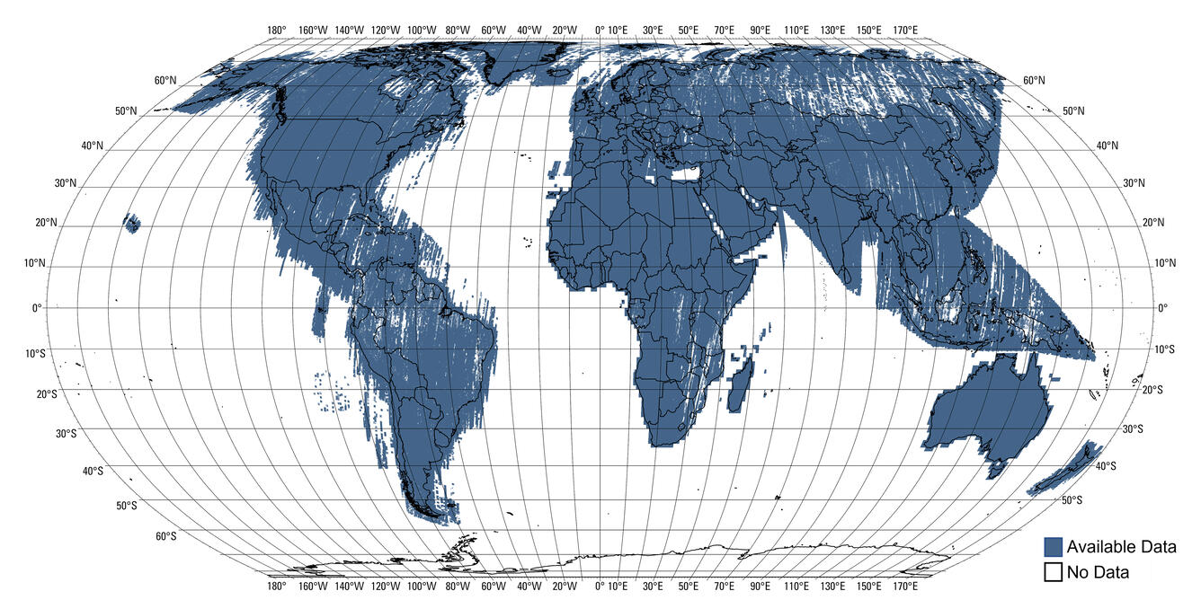
ASTER GED Emissivity Coverage
Detailed Description
This map shows the coverage of the Advanced Spaceborne Thermal Emission and Reflection Radiometer Global Emissivity Dataset (ASTER GED) Emissivity Coverage by Land Processes Distributed Active Archive Center (LP DAAC).
ASTER GED is used in the creation of Landsat Collection 2 Surface Temperature products. This map is useful in seeing the areas of the world where ASTER GED is is missing, which results in missing pixels in the Landsat Collection 2 Landsat Surface Temperature product.
Sources/Usage
Public Domain.