
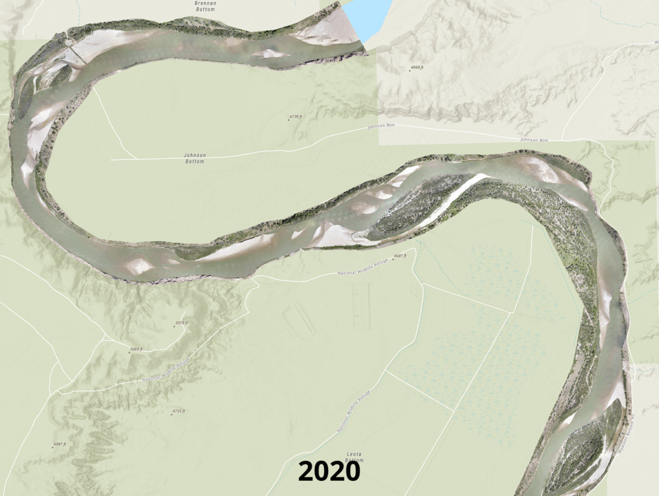
Channel and vegetation change along a 6-mile reach of the Middle Green River
Detailed Description
High resolution natural color imagery collected by uncrewed aircraft system (UAS) for mapping channel and vegetation change along a 6-mile reach of the Middle Green River at Ouray National Wildlife Refuge near Ouray, Utah from 2020-2024.
Sources/Usage
Public Domain.
Related
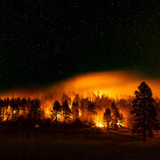
Ecosystem change science in support of wildfire management, water conservation, public land reclamation, and food security
FORT researchers provide sound science to support the Department of the Interior in its efforts to manage wildfires, conserve water, reclaim public lands for multiple uses, and promote food security. This research is developed in partnership with resource managers from local, State, Federal and Tribal governments, industry, and nongovernmental organizations, empowering local and rural communities...
Related
Ecosystem change science in support of wildfire management, water conservation, public land reclamation, and food security
FORT researchers provide sound science to support the Department of the Interior in its efforts to manage wildfires, conserve water, reclaim public lands for multiple uses, and promote food security. This research is developed in partnership with resource managers from local, State, Federal and Tribal governments, industry, and nongovernmental organizations, empowering local and rural communities...