
Coastal Everglades
Detailed Description
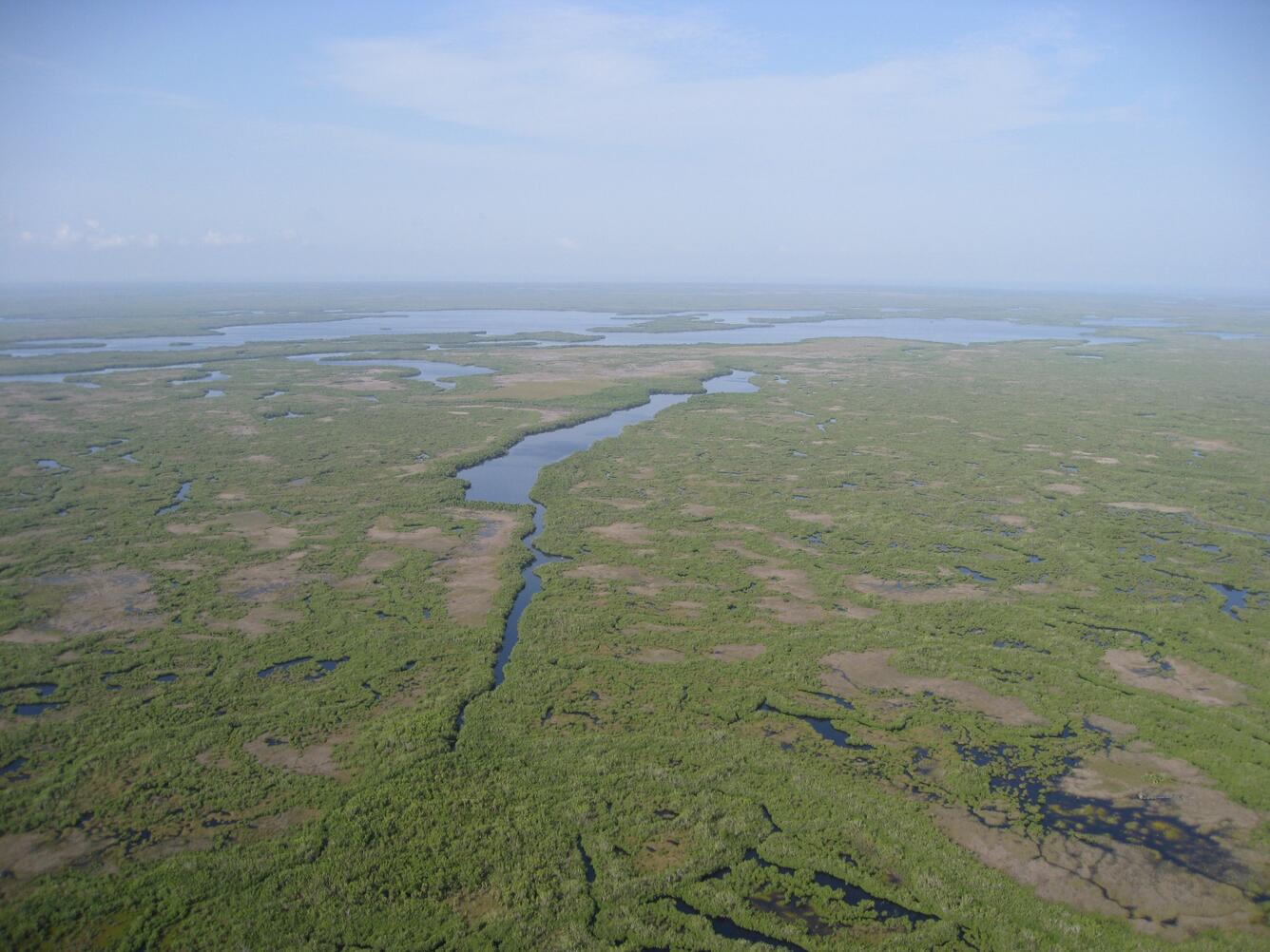
A panorama shot of Rocky Creek Bay in Everglades National Park.. In the lower right (hard to see) is one of my study locations, Lostmans River 2. The vegetation here has changed considerably over time due to Sea-Level Rise. The hard freezes of 2010 damaged much of the mangrove forest. Data from this site is being used by 2 USGS projects: LaFlorida (as I call my NCCWSC project) and Sea-Level Rise Impacts in the Coastal Everglades (led by Cathy Langtimm).
Sources/Usage
Public Domain.