
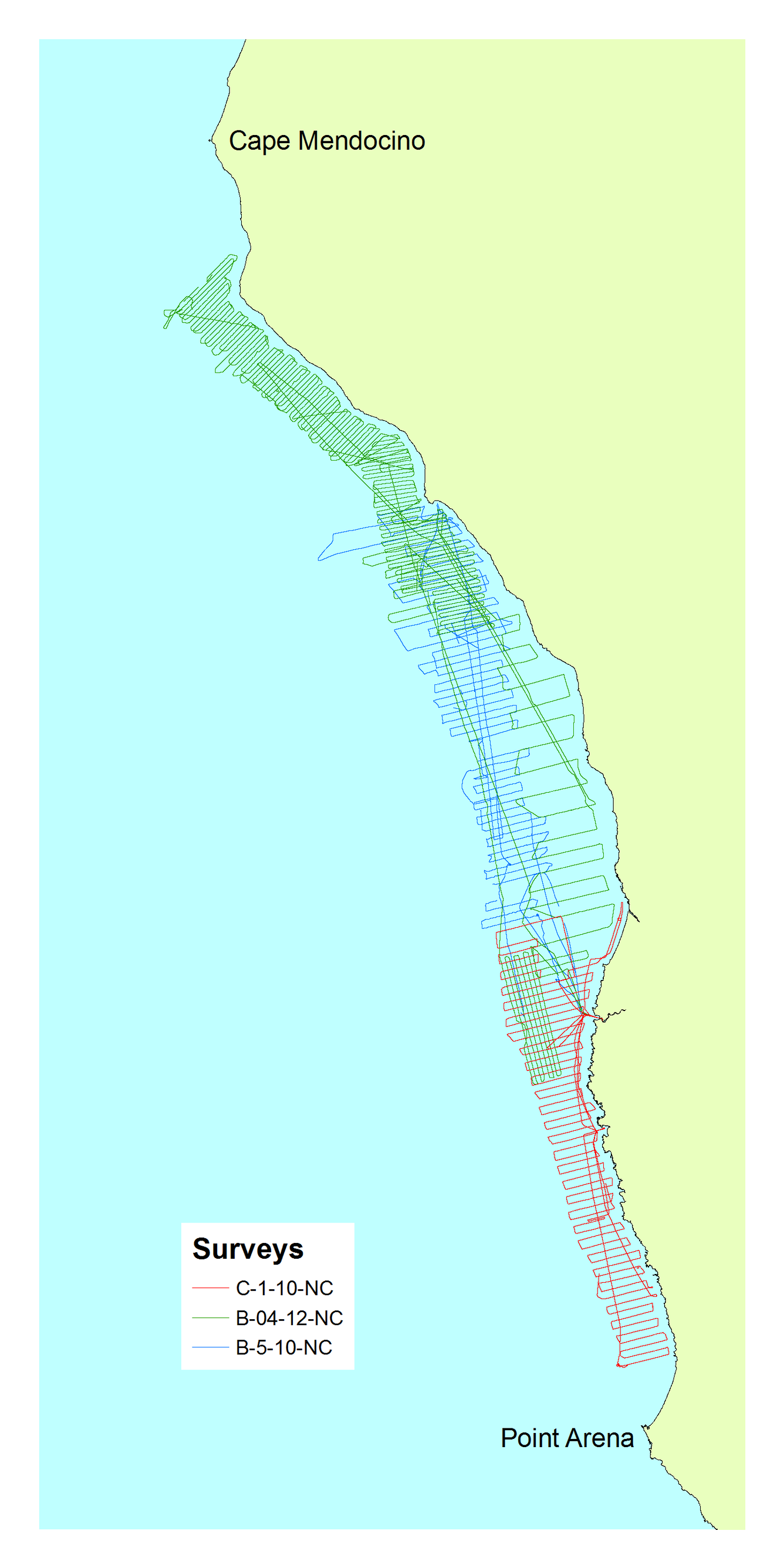
Data collected from Cape Mendocino to Point Arena
Detailed Description
Map shows where marine geophysical data was collected from Cape Mendocino to Point Arena
Sources/Usage
Public Domain.
USGS Data Release
Beeson, J.W., Johnson, S.Y., Goldfinger, C., and Hartwell, S.R., 2016, Marine geophysical data—Point Arena to Cape Mendocino: U.S. Geological Survey data release, https://doi.org/10.5066/F7GT5K8R.