
Dense point cloud derived from UAS images
By Coastal and Marine Hazards and Resources Program
July 2016 (approx.)
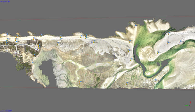
Detailed Description
Screenshot of the dense point cloud consisting of 430 million georeferenced, colored points derived from the rgb (red-green-blue) UAS images. The blue flags indicate ground control points used to constrain the photogrammetric reconstruction.
Sources/Usage
Public Domain.