
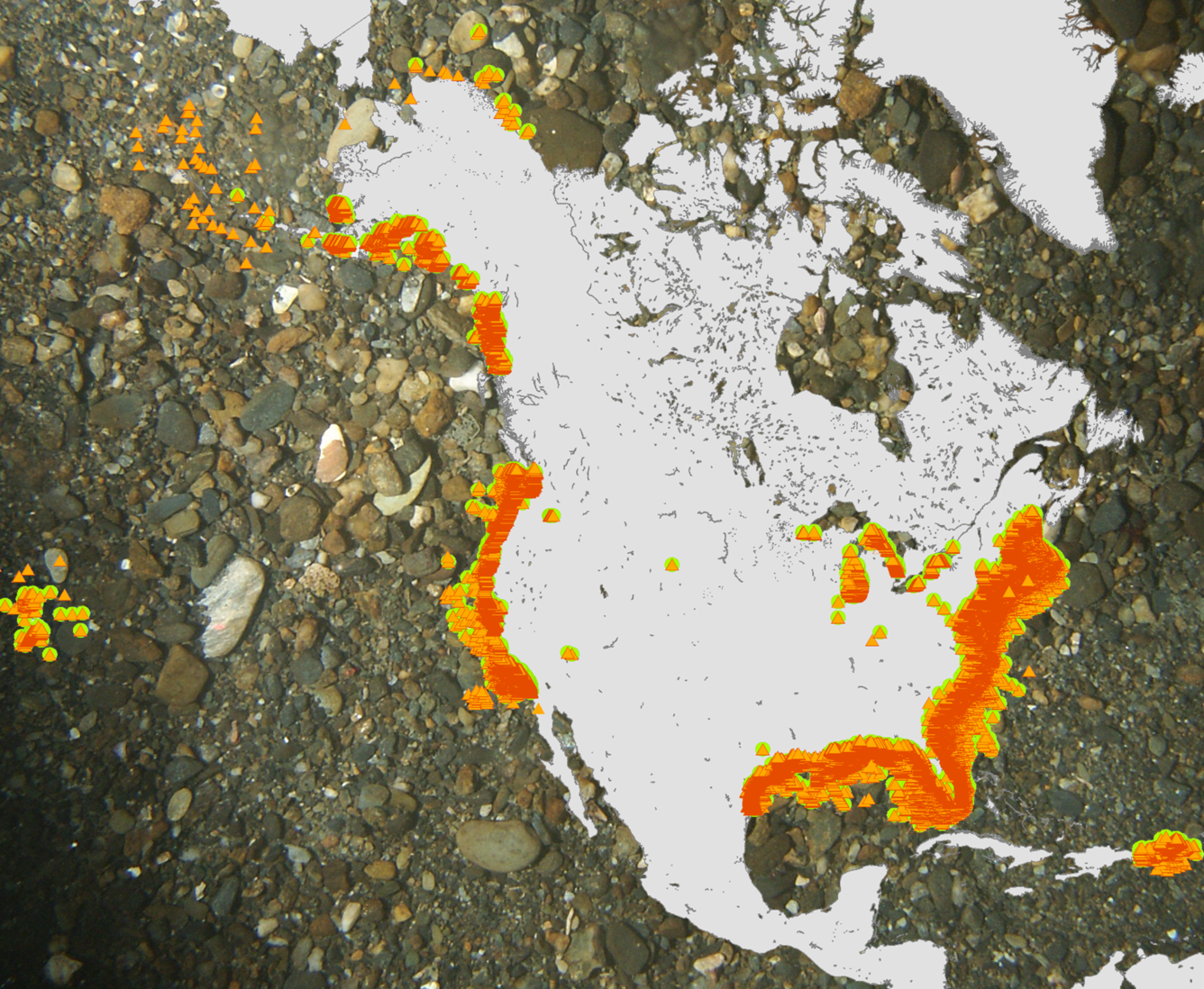
Distribution of usSEABED data output files
Detailed Description
Image showing the distribution of usSEABED data output files US9_ONE (orange triangles) and US9_FAC (green circles) around the continental United States, Hawai'i, and Puerto Rico. The image is superimposed over a photograph of gravelly seabed.
Sources/Usage
Public Domain.