
Dry Marsh Run near Berryville, Virginia

Detailed Description
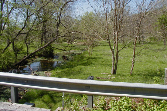
Dry Marsh Run at Rt. 645 bridge downstream of streamflow gaging station USGS 01616100 near Berryville.
Streamflow data for this site can be viewed on Water Data for the Nation here.
Sources/Usage
Public Domain.
Related

Clarke County Aquifer Appraisal
The objective of this study was to better characterize the aquifer systems in the Northern Shenandoah Valley and provide relevant hydrogeologic information that could be used to guide the ongoing development and management of these water resources in Clarke County.
Filter Total Items: 15


Related
Clarke County Aquifer Appraisal
The objective of this study was to better characterize the aquifer systems in the Northern Shenandoah Valley and provide relevant hydrogeologic information that could be used to guide the ongoing development and management of these water resources in Clarke County.
Filter Total Items: 15